MyTopo
Lyman Lake Utah US Topo Map
Couldn't load pickup availability
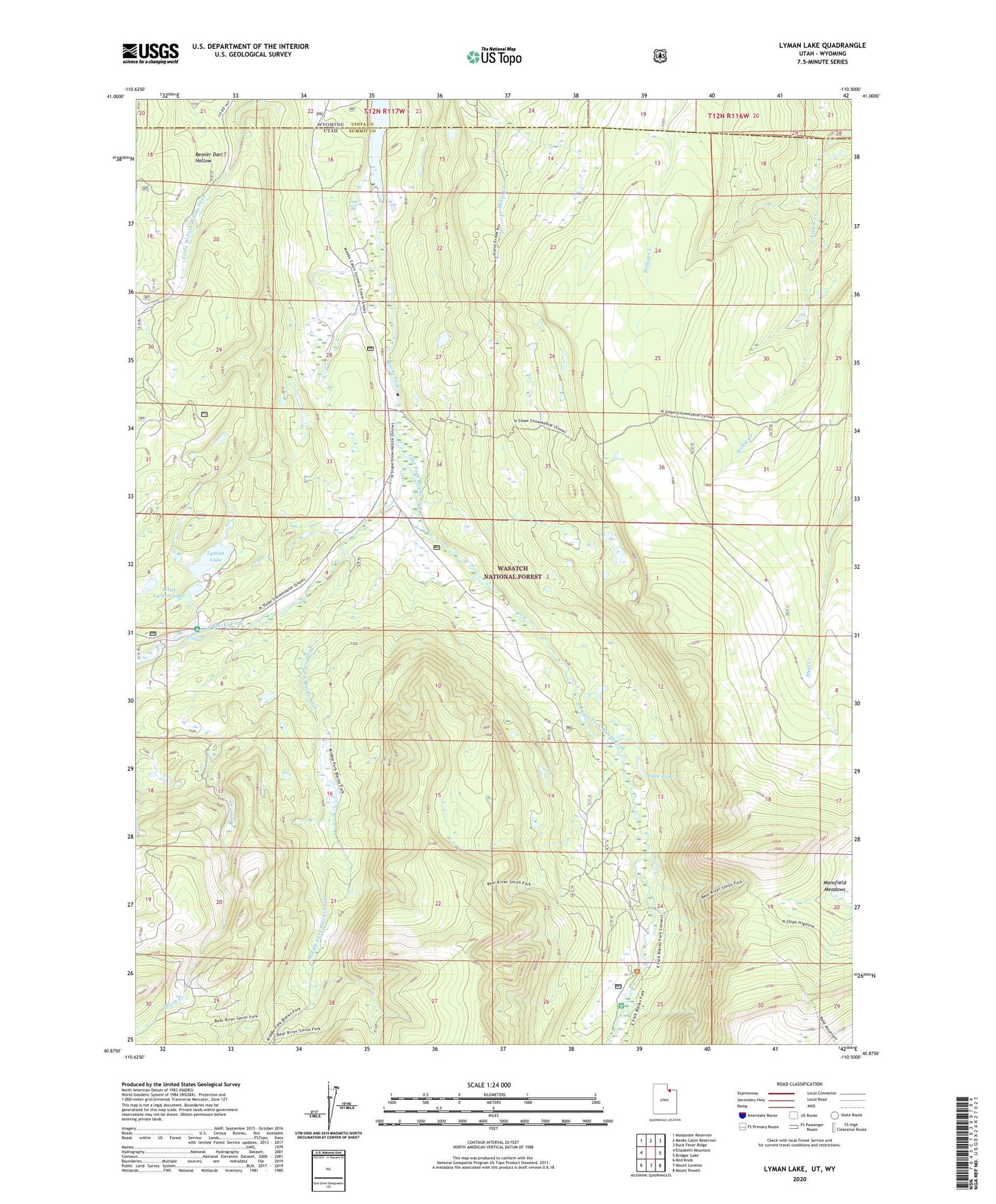
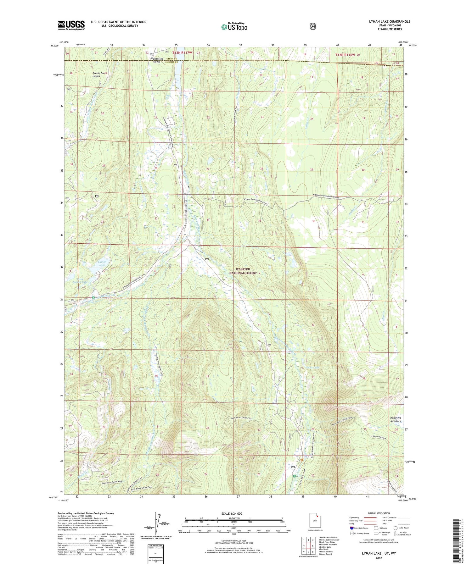
2020 topographic map quadrangle Lyman Lake in the state of Utah. Scale: 1:24000. Based on the newly updated USGS 7.5' US Topo map series, this map is in the following counties: Summit, Uinta. The map contains contour data, water features, and other items you are used to seeing on USGS maps, but also has updated roads and other features. This is the next generation of topographic maps. Printed on high-quality waterproof paper with UV fade-resistant inks.
Quads adjacent to this one:
West: Elizabeth Mountain
Northwest: Moslander Reservoir
North: Meeks Cabin Reservoir
Northeast: Buck Fever Ridge
East: Bridger Lake
Southeast: Mount Powell
South: Mount Lovenia
Southwest: Red Knob
Contains the following named places: Bear River Smiths Fork Trail, Brush Creek, Duck Lake, East Fork Blacks Fork, East Fork Blacks Fork Guard Station, Little Lyman Lake, Little Lyman Lake Campground, Lyman Lake, Middle Fork Blacks Fork, Old Blacks Fork Commissary, Organization Camp Recreation Site, Steel Creek Park, West Fork Blacks Fork