MyTopo
Mancos Mesa NE Utah US Topo Map
Couldn't load pickup availability
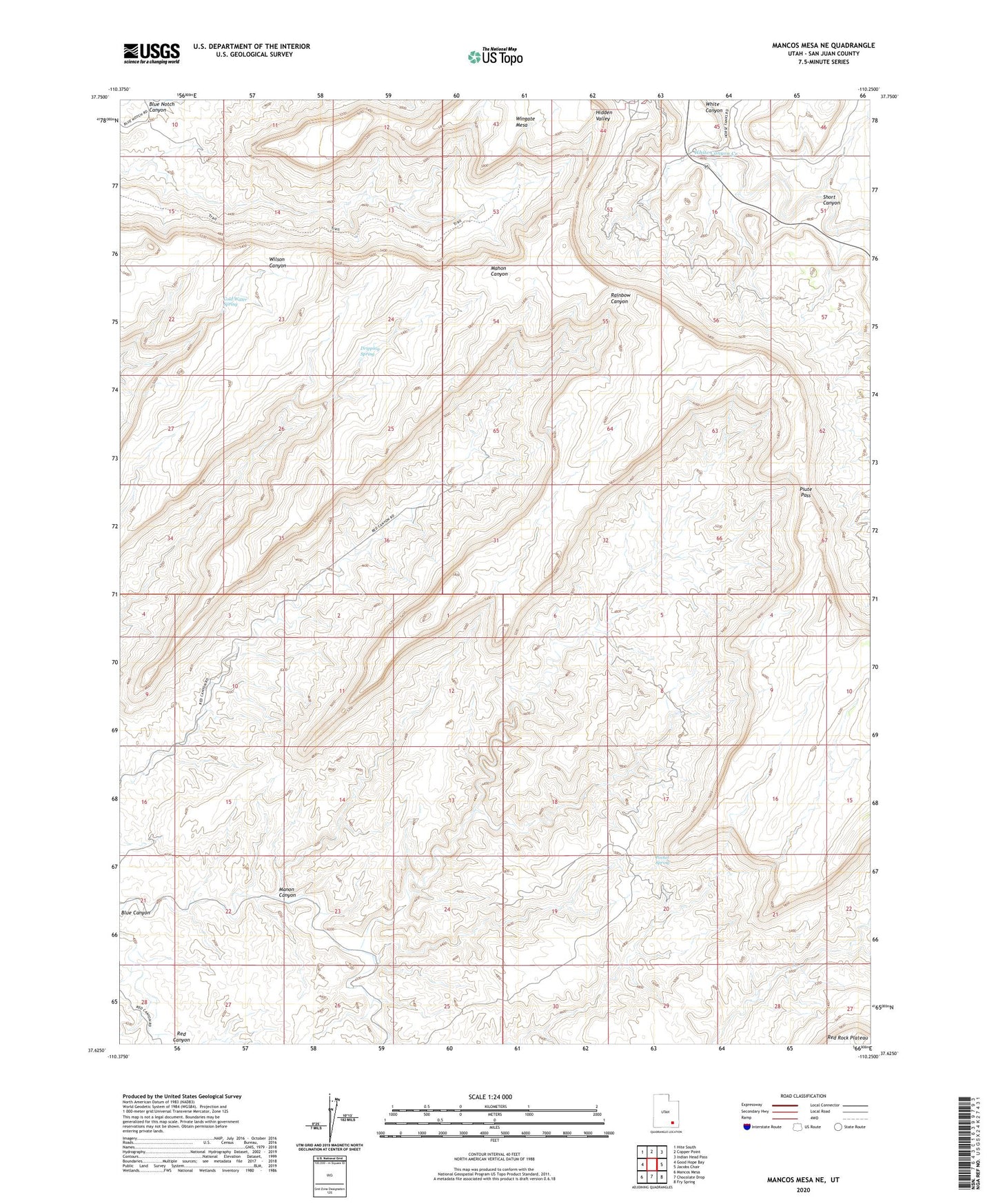
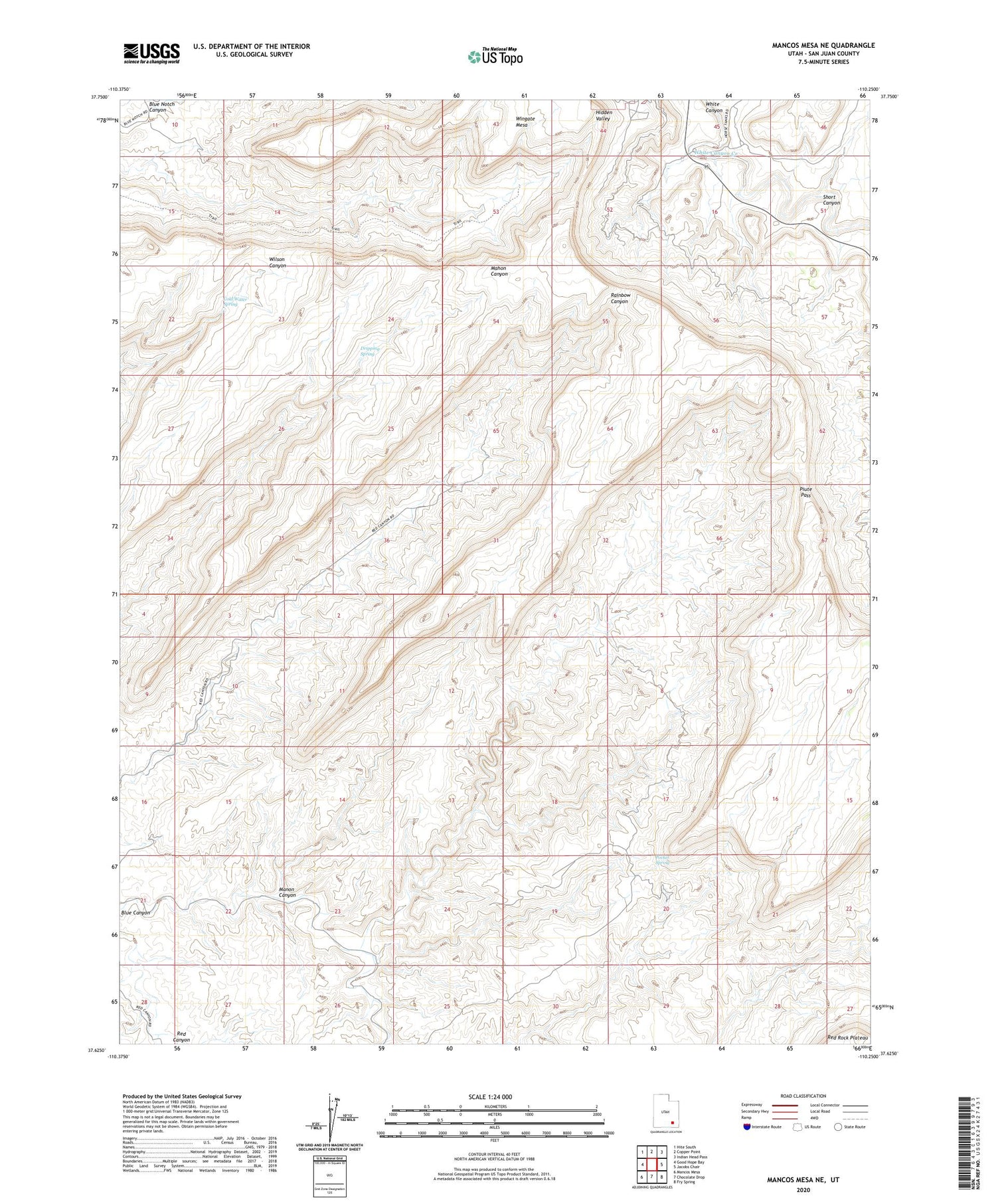
2020 topographic map quadrangle Mancos Mesa NE in the state of Utah. Scale: 1:24000. Based on the newly updated USGS 7.5' US Topo map series, this map is in the following counties: San Juan. The map contains contour data, water features, and other items you are used to seeing on USGS maps, but also has updated roads and other features. This is the next generation of topographic maps. Printed on high-quality waterproof paper with UV fade-resistant inks.
Quads adjacent to this one:
West: Good Hope Bay
Northwest: Hite South
North: Copper Point
Northeast: Indian Head Pass
East: Jacobs Chair
Southeast: Fry Spring
South: Chocolate Drop
Southwest: Mancos Mesa
Contains the following named places: Cold Water Spring, Dripping Spring, Ducket Crossing, Manon Canyon, Piute Pass, Pocket Spring, Short Canyon