MyTopo
Indian Head Pass Utah US Topo Map
Couldn't load pickup availability
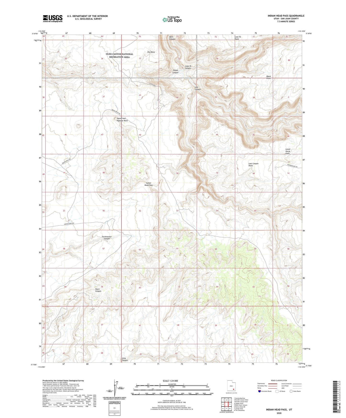
2023 topographic map quadrangle Indian Head Pass in the state of Utah. Scale: 1:24000. Based on the newly updated USGS 7.5' US Topo map series, this map is in the following counties: San Juan. The map contains contour data, water features, and other items you are used to seeing on USGS maps, but also has updated roads and other features. This is the next generation of topographic maps. Printed on high-quality waterproof paper with UV fade-resistant inks.
Quads adjacent to this one:
West: Copper Point
Northwest: Sewing Machine
North: Bowdie Canyon West
Northeast: Bowdie Canyon East
East: Black Steer Canyon
Southeast: The Cheesebox
South: Jacobs Chair
Southwest: Mancos Mesa NE
This map covers the same area as the classic USGS quad with code o37110g2.
Contains the following named places: Dry Mesa, Indian Head Pass, Lean-To Canyon, Lost Canyon, Lost Canyon Point, Lower Horse Flats, Squaw and Papoose Rock