MyTopo
Jacobs Chair Utah US Topo Map
Couldn't load pickup availability
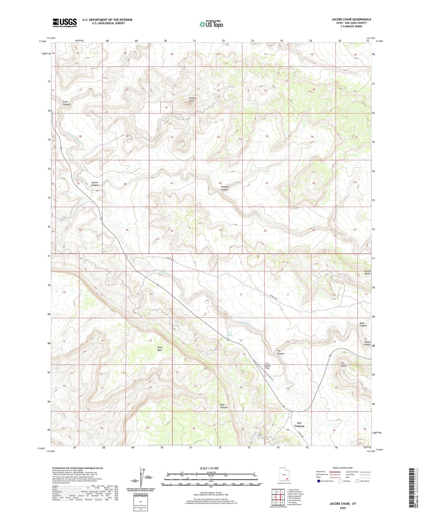
2023 topographic map quadrangle Jacobs Chair in the state of Utah. Scale: 1:24000. Based on the newly updated USGS 7.5' US Topo map series, this map is in the following counties: San Juan. The map contains contour data, water features, and other items you are used to seeing on USGS maps, but also has updated roads and other features. This is the next generation of topographic maps. Printed on high-quality waterproof paper with UV fade-resistant inks.
Quads adjacent to this one:
West: Mancos Mesa NE
Northwest: Copper Point
North: Indian Head Pass
Northeast: Black Steer Canyon
East: The Cheesebox
Southeast: Moss Back Butte
South: Fry Spring
Southwest: Chocolate Drop
This map covers the same area as the classic USGS quad with code o37110f2.
Contains the following named places: Cowboy Canyon, Fry Canyon, Fry Canyon Field, Fry Canyon Store and RV Park, Fry Point, Gravel Canyon, Gravel Crossing, Jacobs Chair, Long Canyon, Nook Canyon, Rock Spring, Soldier Crossing, Wingate Mesa