MyTopo
Moab Utah US Topo Map
Couldn't load pickup availability
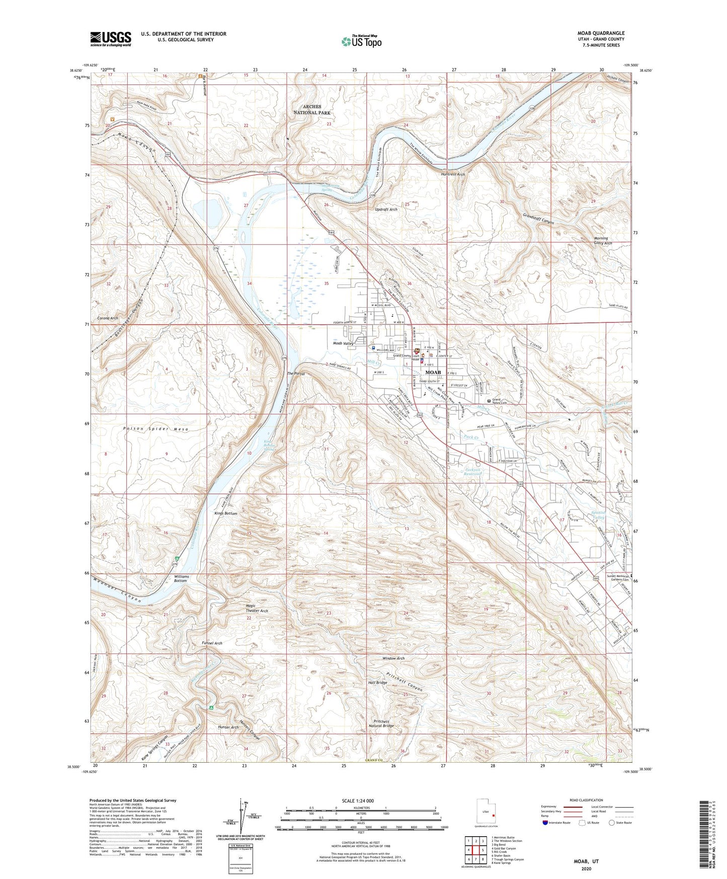
2023 topographic map quadrangle Moab in the state of Utah. Scale: 1:24000. Based on the newly updated USGS 7.5' US Topo map series, this map is in the following counties: Grand. The map contains contour data, water features, and other items you are used to seeing on USGS maps, but also has updated roads and other features. This is the next generation of topographic maps. Printed on high-quality waterproof paper with UV fade-resistant inks.
Quads adjacent to this one:
West: Gold Bar Canyon
Northwest: Merrimac Butte
North: The Windows Section
Northeast: Big Bend
East: Rill Creek
Southeast: Kane Springs
South: Trough Springs Canyon
Southwest: Shafer Basin
This map covers the same area as the classic USGS quad with code o38109e5.
Contains the following named places: Allen Memorial Hospital, Allen Memorial Hospital Heliport, Arches National Park Visitor Center, Atlas Mineral Plant, Atlas Mineral Tailings Pond Dam, Canyonlands Campark, Church of God of Prophecy, City of Moab, Community Baptist Church, Corona Arch, Courthouse Wash, Dan O'Laurie Canyon County Museum, Devils Garden Campground, Emkay, Espiscopal Church of Saint Francis, First Assembly of God Church, Funnel Arch, Grace Lutheran Church, Grand County Courthouse, Grand County Emergency Medical Services, Grand County High School, Grand County Jail, Grand County Middle School, Grand County Public Library, Grand County Sheriff's Office, Grand Valley Cemetery, Grandstaff Canyon, Hall Bridge, Hunter Arch, Hunters Canyon, Huntress Arch, Jackson Reservoir, Kane Springs Canyon, Kane Springs Creek, King Bottom Spring, Kings Bottom, KKLX-FM (Moab), KURA-AM (Moab), Lions Park, Magic Theater Arch, Matrimony Spring, Mill Creek, Millers Shopping Center, Moab, Moab Baptist Church, Moab Canyon, Moab Christian Center, Moab City Hall, Moab KOA, Moab Police Department, Moab Post Office, Moab Regional Hospital, Moab Slickrock Trail, Moab Valley, Moab Valley Fire Protection District Station 1, Morning Glory Arch, North Fork Mill Creek, Pack Creek, Poison Spider Mesa, Pritchett Canyon, Pritchett Natural Bridge, Red Rock School, Saint Pius X Catholic Church, Seventh Day Adventist Church, Seventh Day Adventist School, Slickrock Country Camp, South Park Avenue Trailhead, Spanish Valley, Sunbird Airport, The Church of Jesus Christ of Latter Day Saints, The Portal, Three Penguins, United States Forest Service Fire Station - Moab Office, Updraft Arch, Utah Highway Patrol Section 13 Moab Office, Valley Shopping Center, Williams Bottom, Window Arch, ZIP Code: 84532


