MyTopo
Monument Pass Utah US Topo Map
Couldn't load pickup availability
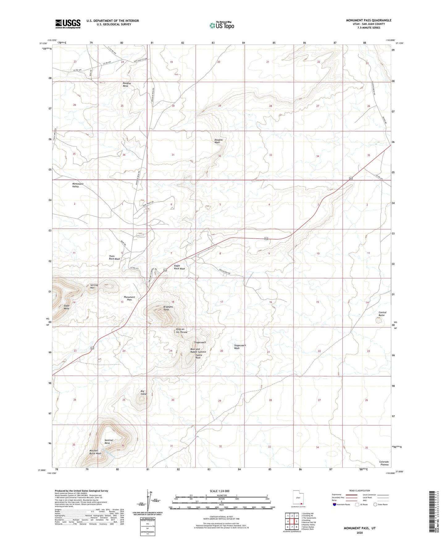
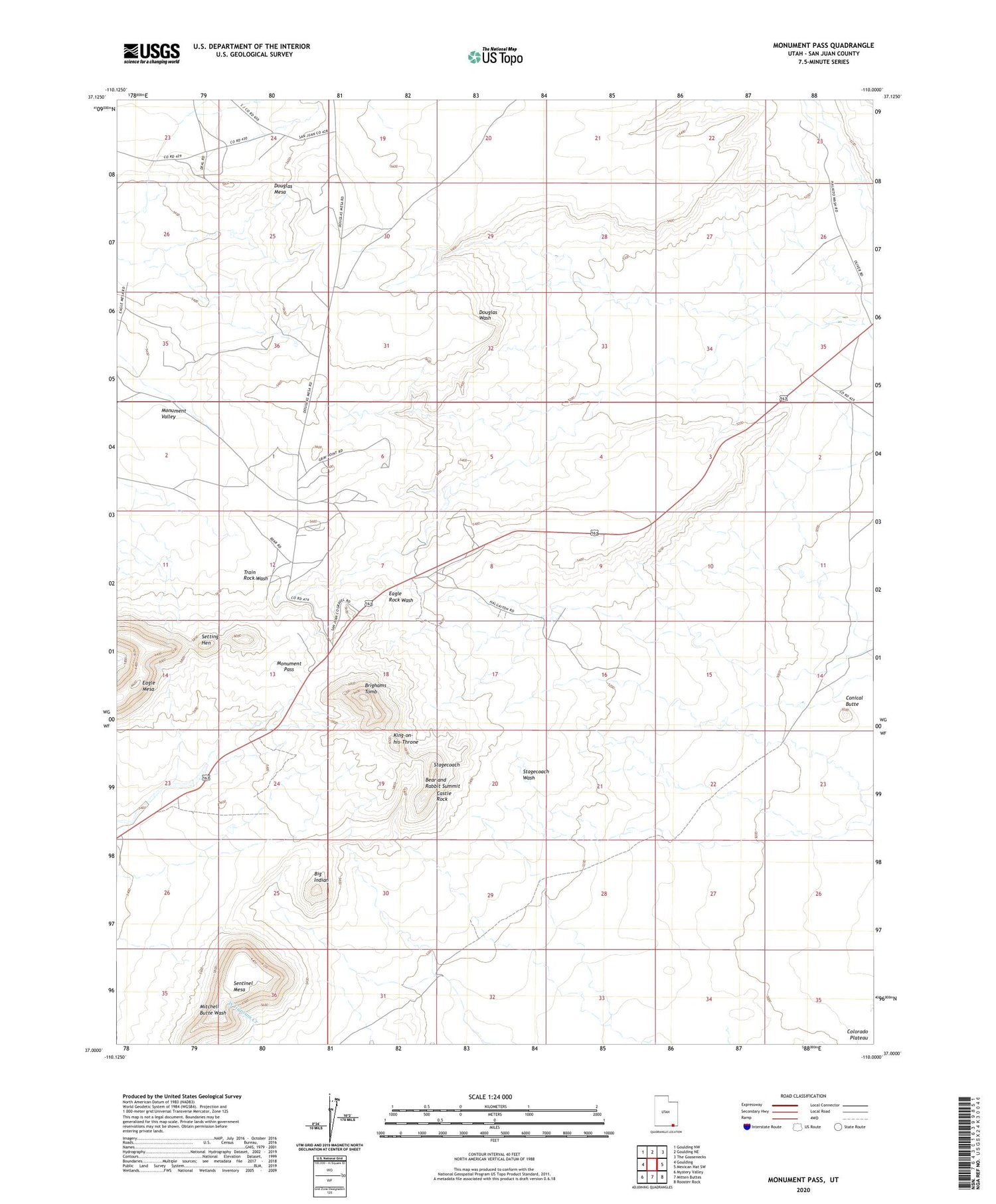
2020 topographic map quadrangle Monument Pass in the state of Utah. Scale: 1:24000. Based on the newly updated USGS 7.5' US Topo map series, this map is in the following counties: San Juan. The map contains contour data, water features, and other items you are used to seeing on USGS maps, but also has updated roads and other features. This is the next generation of topographic maps. Printed on high-quality waterproof paper with UV fade-resistant inks.
Quads adjacent to this one:
West: Goulding
Northwest: Goulding NW
North: Goulding NE
Northeast: The Goosenecks
East: Mexican Hat SW
Southeast: Rooster Rock
South: Mitten Buttes
Southwest: Mystery Valley
Contains the following named places: Bear and Rabbit Summit, Big Indian, Brighams Tomb, Castle Rock, Colorado Plateau, Conical Butte, Eagle Mesa, King-on-his-Throne, Monument Pass, Sentinel Mesa, Setting Hen, Stagecoach