MyTopo
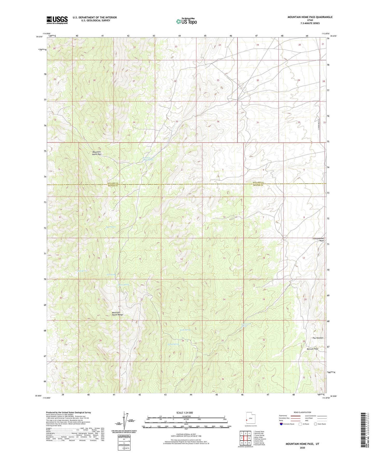
Mountain Home Pass Utah US Topo Map
Couldn't load pickup availability
Also explore the Mountain Home Pass Forest Service Topo of this same quad for updated USFS data
2023 topographic map quadrangle Mountain Home Pass in the state of Utah. Scale: 1:24000. Based on the newly updated USGS 7.5' US Topo map series, this map is in the following counties: Beaver, Millard. The map contains contour data, water features, and other items you are used to seeing on USGS maps, but also has updated roads and other features. This is the next generation of topographic maps. Printed on high-quality waterproof paper with UV fade-resistant inks.
Quads adjacent to this one:
West: Miller Wash
Northwest: Tweedy Wash
North: Mormon Gap
Northeast: Tunnel Spring
East: Halfway Summit
Southeast: Sawtooth Peak
South: Lopers Spring
Southwest: Hamlin Well
This map covers the same area as the classic USGS quad with code o38113e8.
Contains the following named places: Cherry Spring, Cobb Spring, Cottonwood Spring, Forked Spring, McCune Pass, Mountain Home Pass, Mountain Home Range, Mountain Home Spring, Sand Spring, Sheep Dip Trough, Tub Spring, Victor Spring