MyTopo
Neponset Reservoir NW Utah US Topo Map
Couldn't load pickup availability
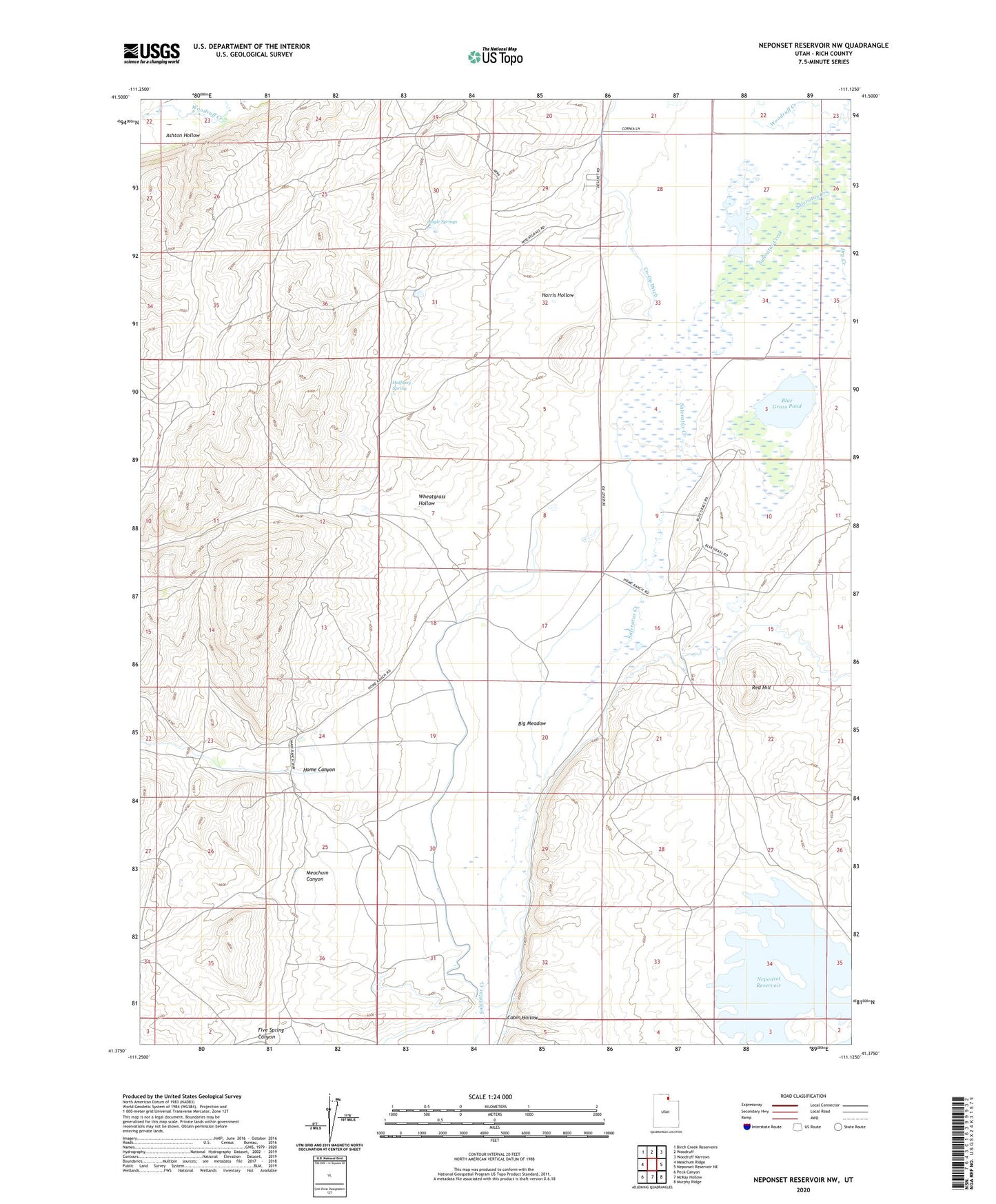
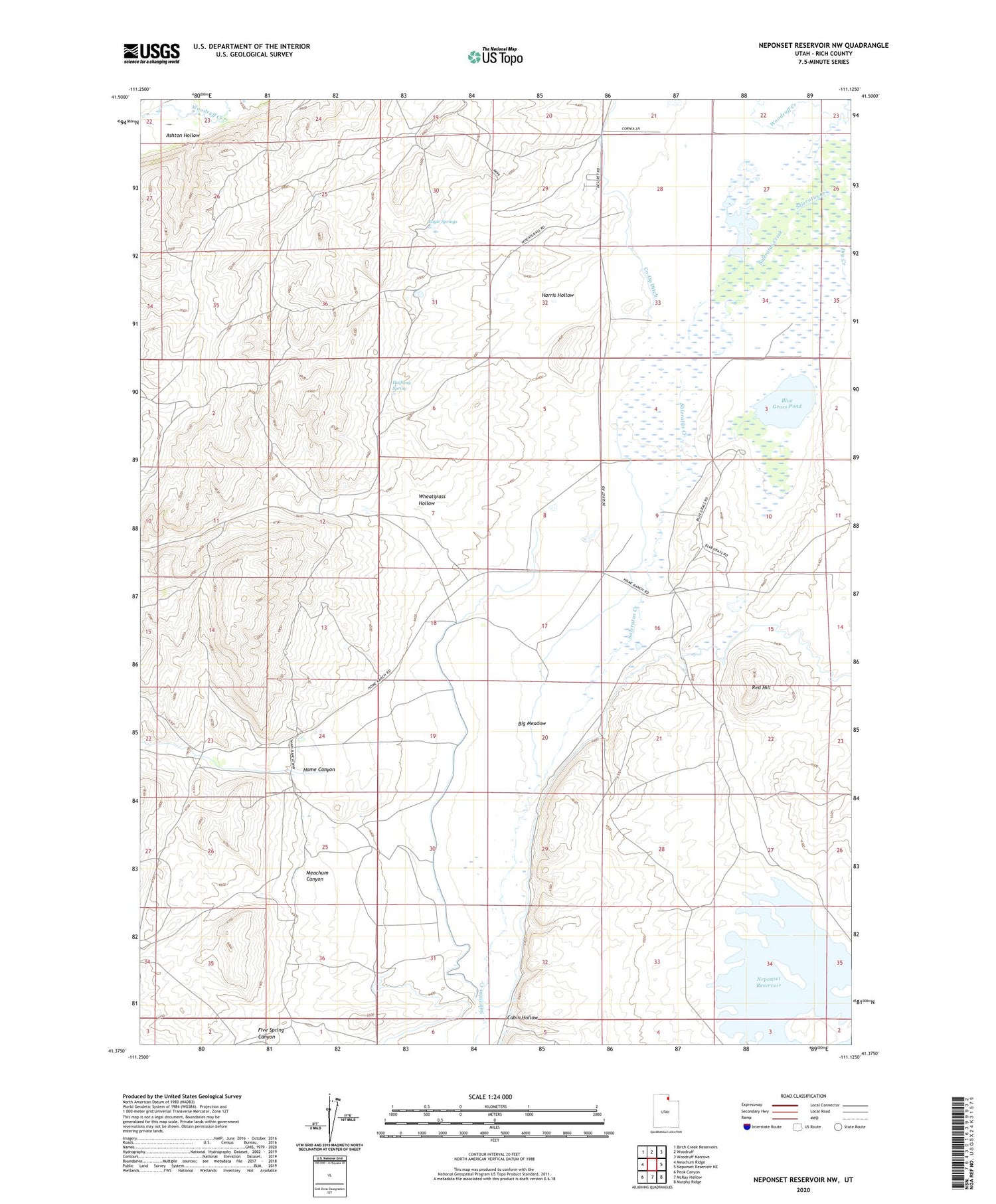
2020 topographic map quadrangle Neponset Reservoir NW in the state of Utah. Scale: 1:24000. Based on the newly updated USGS 7.5' US Topo map series, this map is in the following counties: Rich. The map contains contour data, water features, and other items you are used to seeing on USGS maps, but also has updated roads and other features. This is the next generation of topographic maps. Printed on high-quality waterproof paper with UV fade-resistant inks.
Quads adjacent to this one:
West: Meachum Ridge
Northwest: Birch Creek Reservoirs
North: Woodruff
Northeast: Woodruff Narrows
East: Neponset Reservoir NE
Southeast: Murphy Ridge
South: McKay Hollow
Southwest: Peck Canyon
Contains the following named places: Ashton Hollow, Big Meadow, Blue Grass Pond, Cabin Hollow, Co-Op Ditch, Dry Creek, Eagle Springs, Halfway Spring, Harris Hollow, Home Canyon, Home Ranch, Meachum Canyon, Neponset Reservoir, Randolph-Woodruff Division, Red Hill, Wheatgrass Hollow, Woodruff Creek, ZIP Code: 84086