MyTopo
Pinnacle Peak Utah US Topo Map
Couldn't load pickup availability
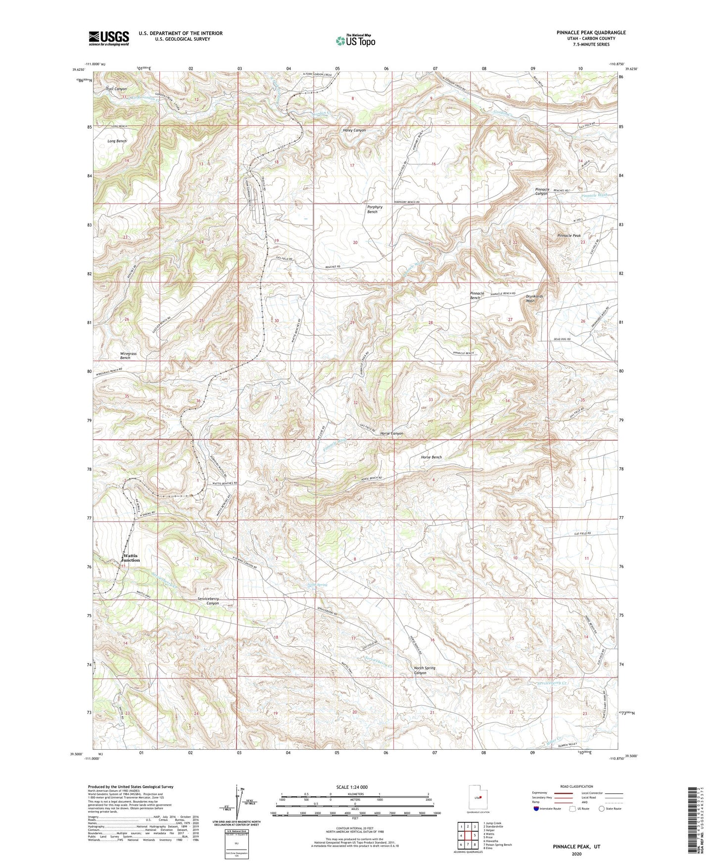
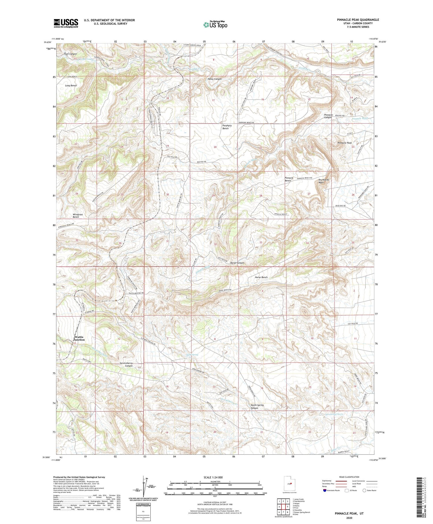
2020 topographic map quadrangle Pinnacle Peak in the state of Utah. Scale: 1:24000. Based on the newly updated USGS 7.5' US Topo map series, this map is in the following counties: Carbon. The map contains contour data, water features, and other items you are used to seeing on USGS maps, but also has updated roads and other features. This is the next generation of topographic maps. Printed on high-quality waterproof paper with UV fade-resistant inks.
Quads adjacent to this one:
West: Wattis
Northwest: Jump Creek
North: Standardville
Northeast: Helper
East: Price
Southeast: Elmo
South: Poison Spring Bench
Southwest: Hiawatha
Contains the following named places: Gordon Creek Station, Haley Canyon, Haley Siding, Horse Bench, Mud Water Canyon, North Fork Gordon Creek, North Spring, North Spring Canyon, Pinnacle Bench, Pinnacle Canyon, Pinnacle Peak, Porphyry Bench, Serviceberry Canyon, South Fork Gordon Creek, Trail Canyon, Wattis Junction, Wattis Siding