MyTopo
Steamboat Mountain SW Utah US Topo Map
Couldn't load pickup availability
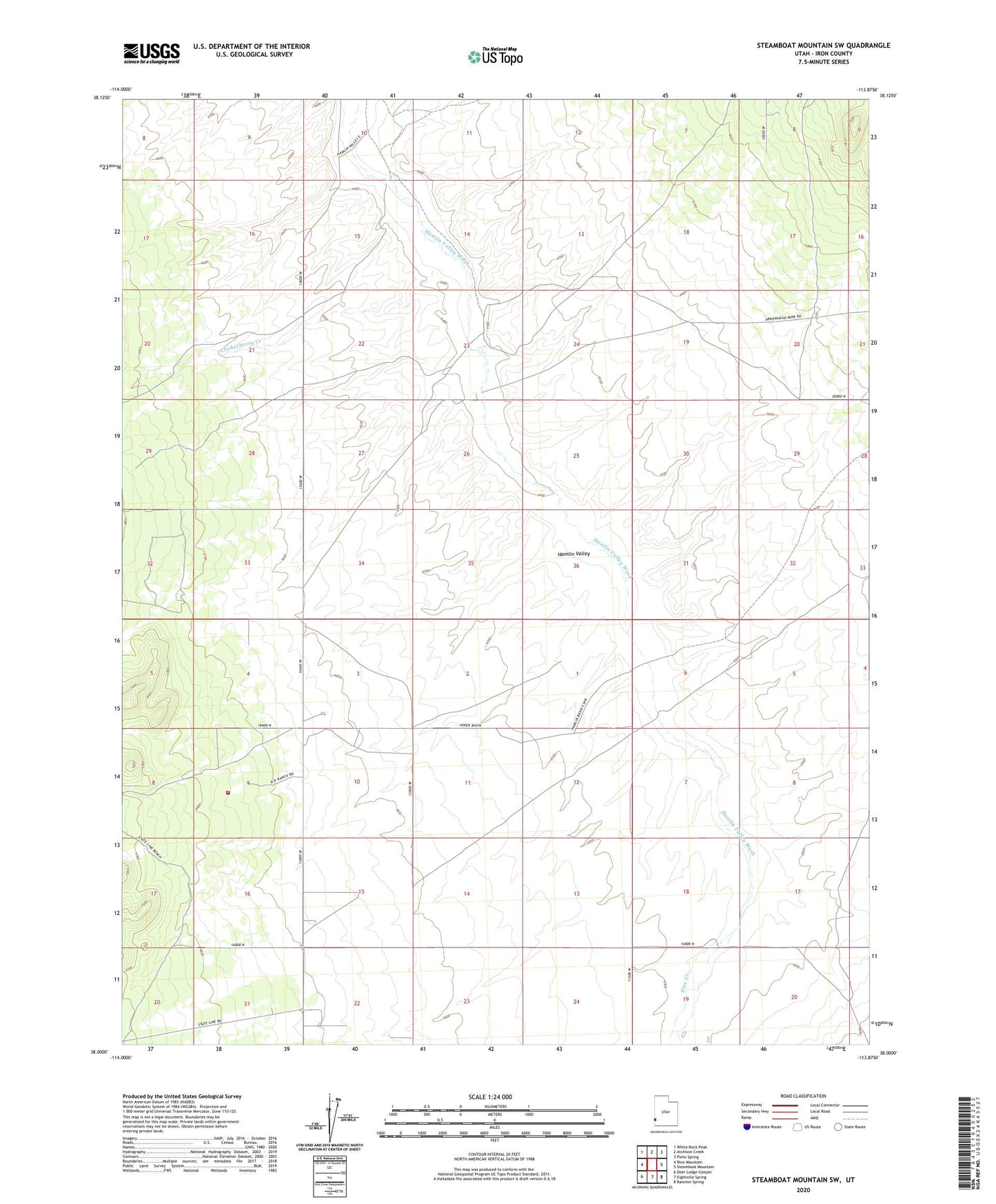
2023 topographic map quadrangle Steamboat Mountain SW in the state of Utah. Scale: 1:24000. Based on the newly updated USGS 7.5' US Topo map series, this map is in the following counties: Iron. The map contains contour data, water features, and other items you are used to seeing on USGS maps, but also has updated roads and other features. This is the next generation of topographic maps. Printed on high-quality waterproof paper with UV fade-resistant inks.
Quads adjacent to this one:
West: Rice Mountain
Northwest: White Rock Peak
North: Atchison Creek
Northeast: Pinto Spring
East: Steamboat Mountain
Southeast: Bannion Spring
South: Eightmile Spring
Southwest: Deer Lodge Canyon
This map covers the same area as the classic USGS quad with code o38113a8.
Contains the following named places: Butcher Spring Trough, Chaney Ranch, Chokecherry Creek, Pine Creek