MyTopo
Porcupine Ridge Utah US Topo Map
Couldn't load pickup availability
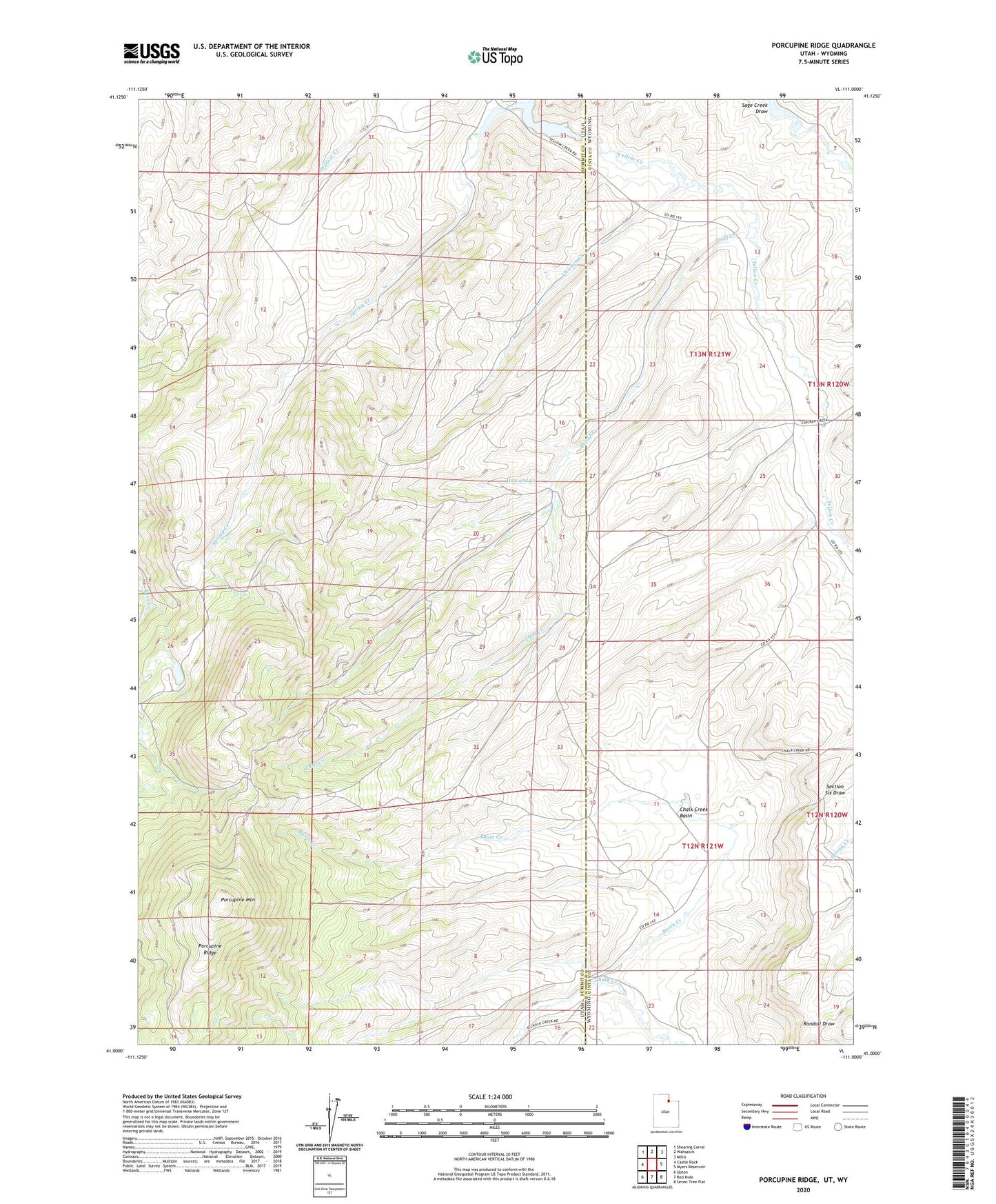
2020 topographic map quadrangle Porcupine Ridge in the states of Utah, Wyoming. Scale: 1:24000. Based on the newly updated USGS 7.5' US Topo map series, this map is in the following counties: Summit, Uinta. The map contains contour data, water features, and other items you are used to seeing on USGS maps, but also has updated roads and other features. This is the next generation of topographic maps. Printed on high-quality waterproof paper with UV fade-resistant inks.
Quads adjacent to this one:
West: Castle Rock
Northwest: Shearing Corral
North: Wahsatch
Northeast: Millis
East: Myers Reservoir
Southeast: Seven Tree Flat
South: Red Hole
Southwest: Upton
Contains the following named places: Barker Reservoir, Basin Creek, Chalk Creek Basin, Chicken Creek, Howard Creek, Porcupine Mountain, Porcupine Ridge, Right Fork Rees Creek, Spring Creek, Thief Creek