MyTopo
Castle Rock Utah US Topo Map
Couldn't load pickup availability
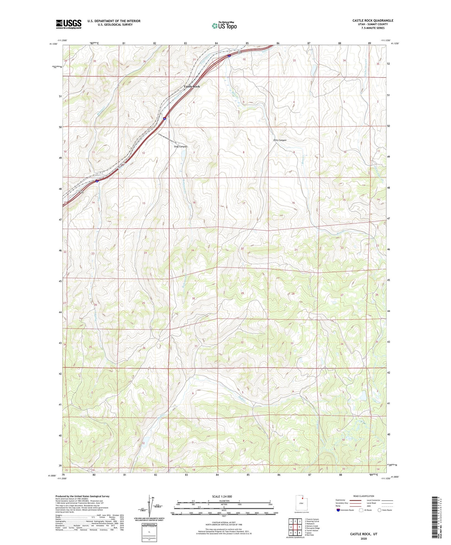
2023 topographic map quadrangle Castle Rock in the state of Utah. Scale: 1:24000. Based on the newly updated USGS 7.5' US Topo map series, this map is in the following counties: Summit. The map contains contour data, water features, and other items you are used to seeing on USGS maps, but also has updated roads and other features. This is the next generation of topographic maps. Printed on high-quality waterproof paper with UV fade-resistant inks.
Quads adjacent to this one:
West: Heiners Creek
Northwest: Francis Canyon
North: Shearing Corral
Northeast: Wahsatch
East: Porcupine Ridge
Southeast: Red Hole
South: Upton
Southwest: Turner Hollow
This map covers the same area as the classic USGS quad with code o41111a2.
Contains the following named places: Aspen Creek, Brown Creek, Castle Rock, Ellis Canyon, Rees Creek, Robinson Creek, Stag Canyon, Tristram Creek