MyTopo
Ray Mesa Utah US Topo Map
Couldn't load pickup availability
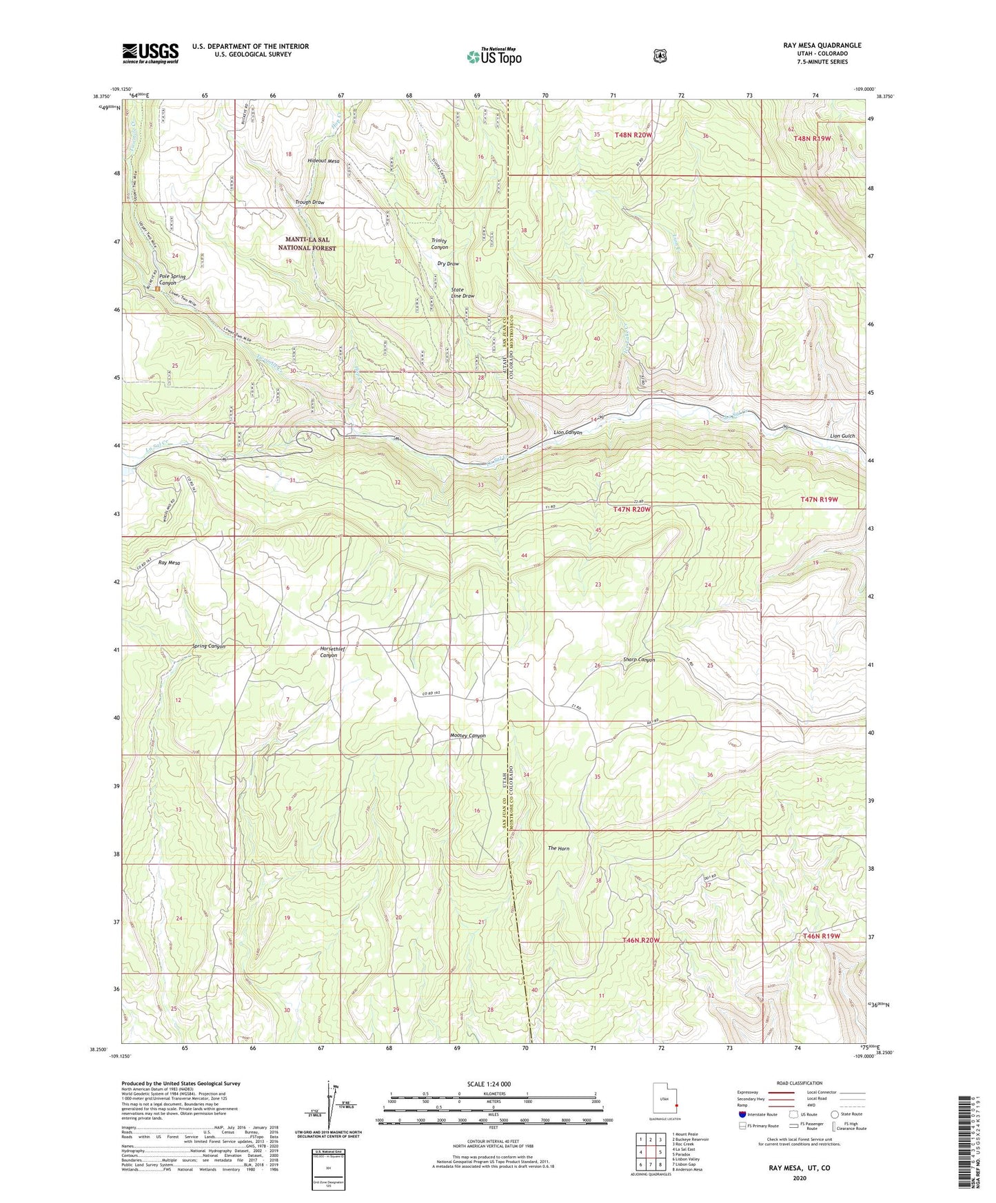
2020 topographic map quadrangle Ray Mesa in the states of Colorado, Utah. Scale: 1:24000. Based on the newly updated USGS 7.5' US Topo map series, this map is in the following counties: San Juan, Montrose. The map contains contour data, water features, and other items you are used to seeing on USGS maps, but also has updated roads and other features. This is the next generation of topographic maps. Printed on high-quality waterproof paper with UV fade-resistant inks.
Quads adjacent to this one:
West: La Sal East
Northwest: Mount Peale
North: Buckeye Reservoir
Northeast: Roc Creek
East: Paradox
Southeast: Anderson Mesa
South: Lisbon Gap
Southwest: Lisbon Valley
Contains the following named places: Angle Mine, Birthday Mine, Black Hat Mine, Blue Cap Mine, Brushy Basin Mine, Brushy Basin Number 3 Mine, Carla May Group Mine, Confusion Mine, Dry Draw, Elray Mine, Eva Mine, Evening Star Mine, Firefly Mine, Gray Daun Mine, Greasy Spoon Mine, Hang Dog Creek, Hespeotus Mine, Hideout Mesa, Hop Creek, Ice Lake Creek, Independence Mine, Lion Canyon, Lion Creek, Lion Creek Mine, Lion Gulch, Lode Mine, Lucky Number One Mine, Marjorie Ann Mine, Maud Mine, Midnight Mine, Morning Star Mine, New Yellow Spot Mine, Pine Lodge Ranch, Pole Spring Canyon, Prayer Number Nine Mine, Rattlesnake Mine, Ray Mesa, Saint Patrick Claims, Saint Patrick Number Seven Mine, Soldier Boy Mine, State Line Draw, Summer Mine, Sumner Mine, The Horn, Too High Mine, Trinity Canyon, Trough Draw, Twomile Creek, Uranium Girl Mine, Vanadium Queen Mine, Vista Grande Mine, Wedge Mine, Wray Mesa Mine, Yellow Bird Mines, Yip Yip Mine, Yucca Mine