MyTopo
Anderson Mesa Colorado US Topo Map
Couldn't load pickup availability
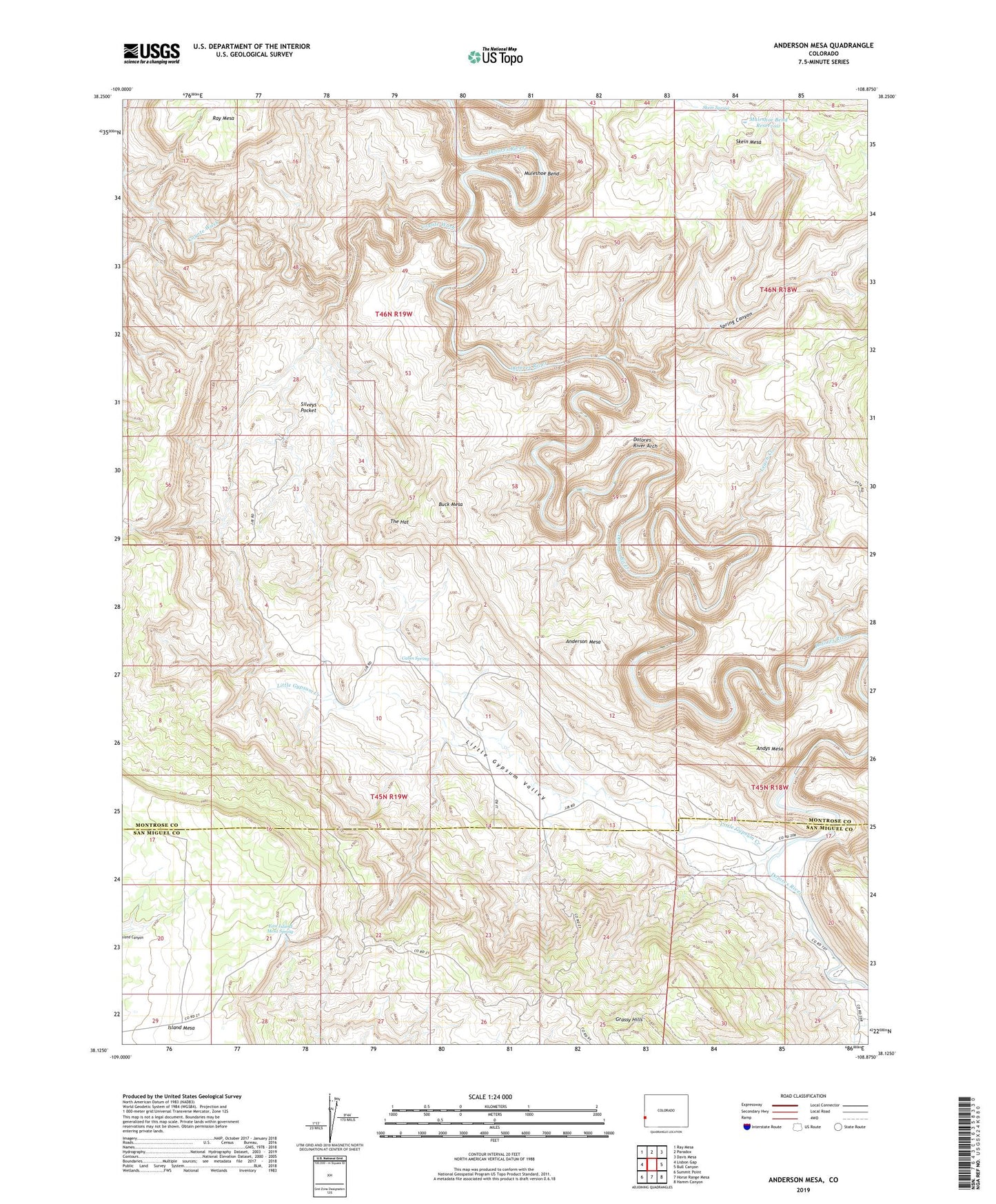
2022 topographic map quadrangle Anderson Mesa in the state of Colorado. Scale: 1:24000. Based on the newly updated USGS 7.5' US Topo map series, this map is in the following counties: Montrose, San Miguel. The map contains contour data, water features, and other items you are used to seeing on USGS maps, but also has updated roads and other features. This is the next generation of topographic maps. Printed on high-quality waterproof paper with UV fade-resistant inks.
Quads adjacent to this one:
West: Lisbon Gap
Northwest: Ray Mesa
North: Paradox
Northeast: Davis Mesa
East: Bull Canyon
Southeast: Hamm Canyon
South: Horse Range Mesa
Southwest: Summit Point
This map covers the same area as the classic USGS quad with code o38108b8.
Contains the following named places: American Eagle Mine, Anderson Mesa, Andys Mesa, Big Medicine Mine, Buck Mesa, Cabin Spring, Canyon View Mine, Coyote Wash, Dolores River Arch, East Island Mesa Spring, Edith Irene Mine, Expectant One Mine, Faultless Mine, Franklin Mine, Grassy Hill Mine, Gyp Mine, Happy Jack Mine, Happy Joe Mine, Island Mesa, Joker Mine, Jumbo Mine, Leach Creek, Little Gypsum Creek, Little Gypsum Valley, Little Jewel Mine, Modeen Mine, Morning Star Mine, Muleshoe Bend, Muleshoe Bend Reservoir, Navajo Mine, Pooch Mine, Probable Mine, Radar Mine, Redbird Mine, Regis Mine, Silveys Pocket, Skein Spring, Sky Lark Mine, Spring Canyon, Sunset Mine, Terrible Brook Number One Mine, Terrible Mine, The Hat, The Raven Mine, Watchman Mine, White Cow Mine, Whiz Bang Mine, Yorktown Mine