MyTopo
Salvation Creek Utah US Topo Map
Couldn't load pickup availability
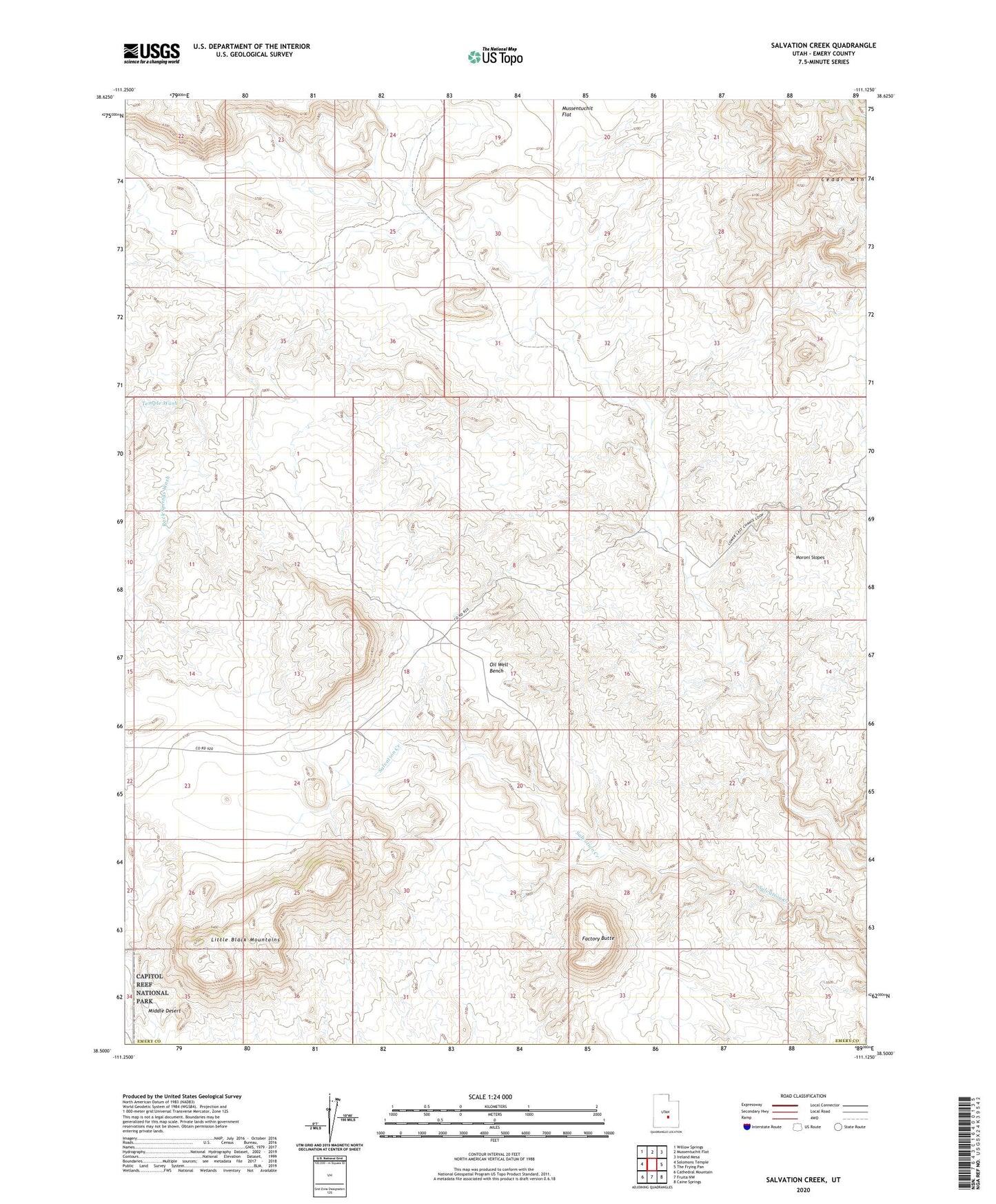
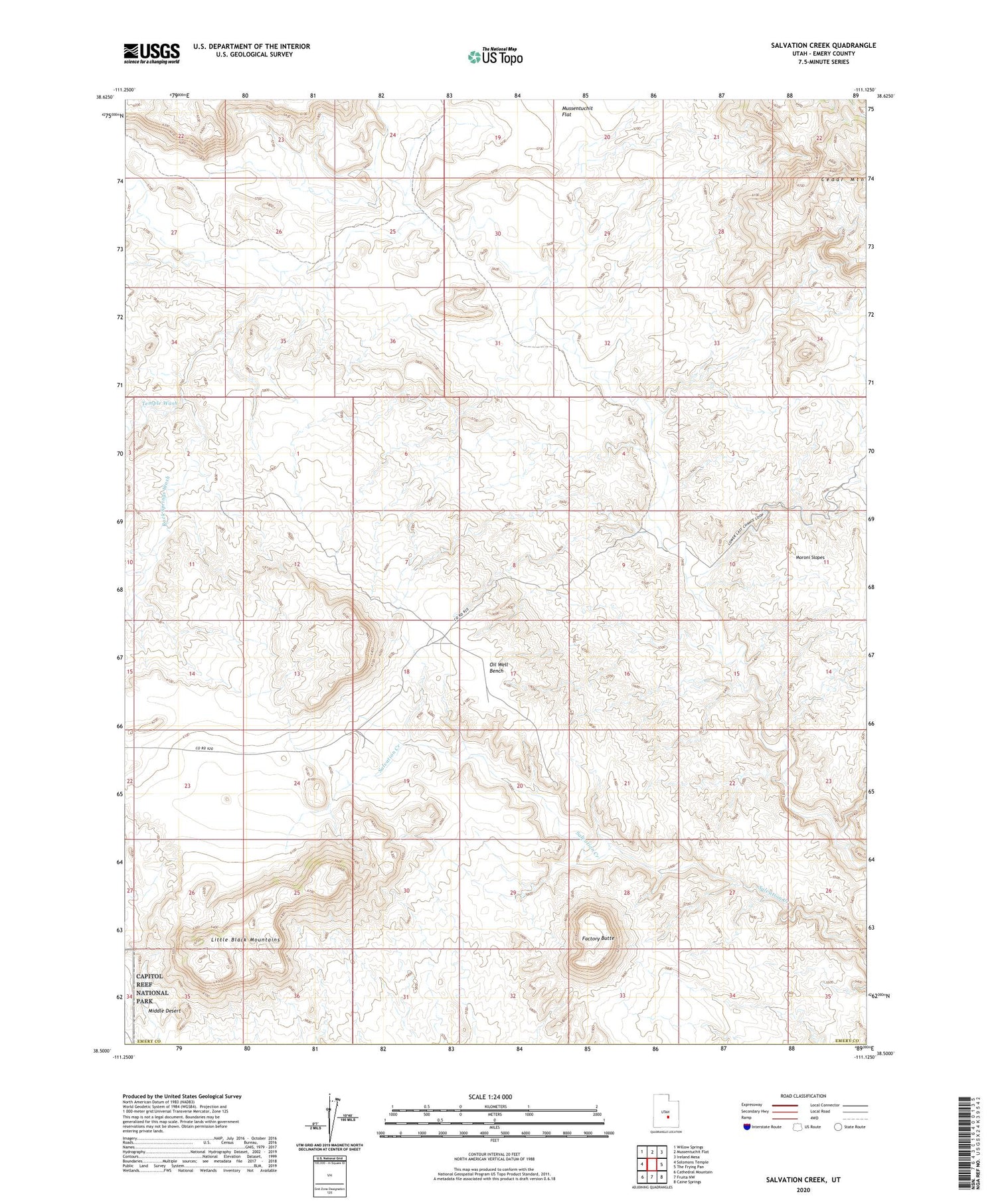
2020 topographic map quadrangle Salvation Creek in the state of Utah. Scale: 1:24000. Based on the newly updated USGS 7.5' US Topo map series, this map is in the following counties: Emery. The map contains contour data, water features, and other items you are used to seeing on USGS maps, but also has updated roads and other features. This is the next generation of topographic maps. Printed on high-quality waterproof paper with UV fade-resistant inks.
Quads adjacent to this one:
West: Solomons Temple
Northwest: Willow Springs
North: Mussentuchit Flat
Northeast: Ireland Mesa
East: The Frying Pan
Southeast: Caine Springs
South: Fruita NW
Southwest: Cathedral Mountain
Contains the following named places: Carlyle Wash, Factory Butte, Last Chance Gas Field, Little Black Mountains, Oil Well Bench, Rock Springs Wash, Temple Wash