MyTopo
Mussentuchit Flat Utah US Topo Map
Couldn't load pickup availability
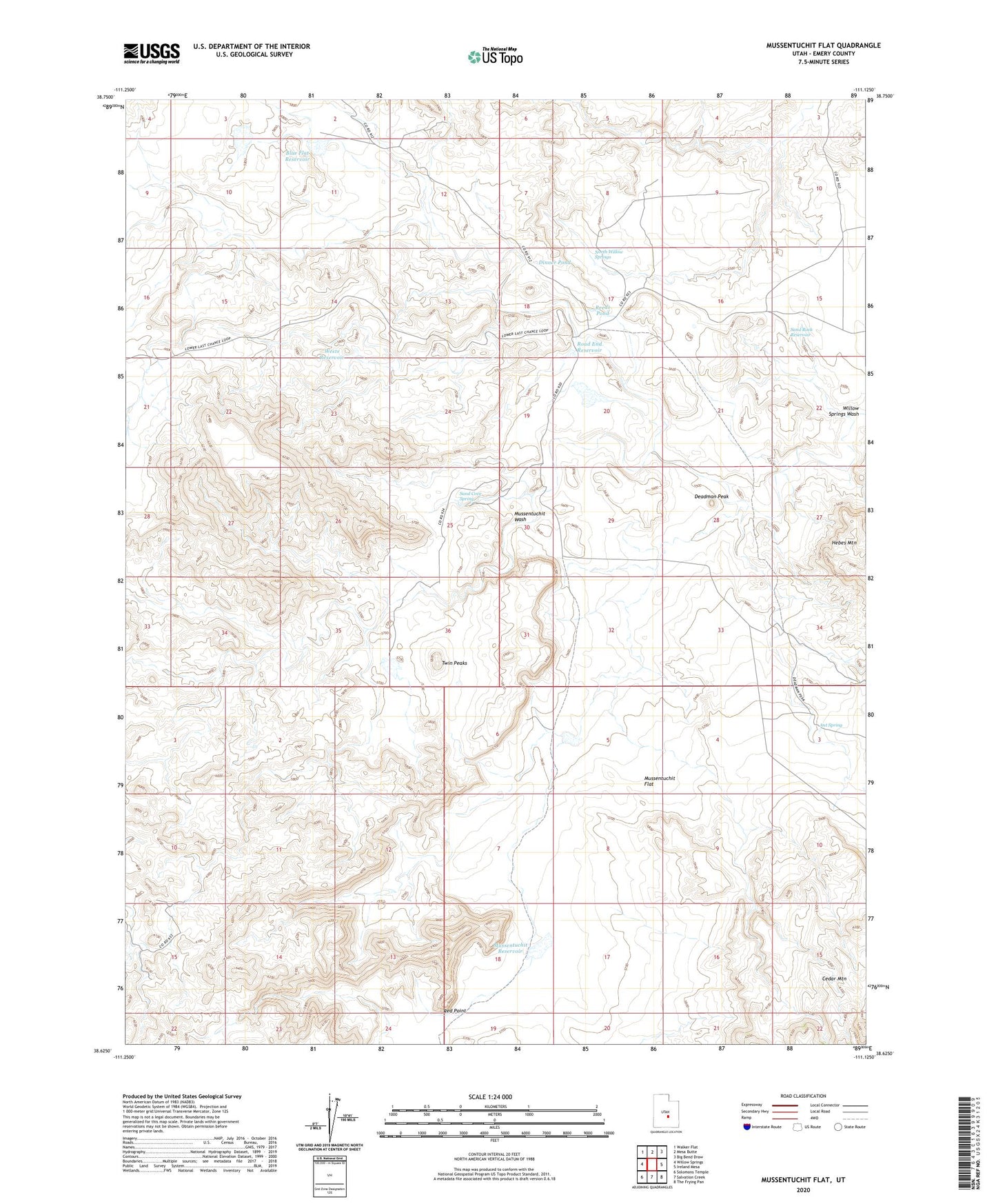
2023 topographic map quadrangle Mussentuchit Flat in the state of Utah. Scale: 1:24000. Based on the newly updated USGS 7.5' US Topo map series, this map is in the following counties: Emery. The map contains contour data, water features, and other items you are used to seeing on USGS maps, but also has updated roads and other features. This is the next generation of topographic maps. Printed on high-quality waterproof paper with UV fade-resistant inks.
Quads adjacent to this one:
West: Willow Springs
Northwest: Walker Flat
North: Mesa Butte
Northeast: Big Bend Draw
East: Ireland Mesa
Southeast: The Frying Pan
South: Salvation Creek
Southwest: Solomons Temple
This map covers the same area as the classic USGS quad with code o38111f2.
Contains the following named places: Ant Spring, Blue Flat Reservoir, Deadman Peak, Dinner Pond, Mussentuchit Flat, Mussentuchit Reservoir, Mussentuchit Wash, North Willow Springs, Red Point, Reeds Pond, Road End Reservoir, Sand Cove Spring, Sand Rock Reservoir, Twin Peaks, Wests Reservoir