MyTopo
Willow Springs Utah US Topo Map
Couldn't load pickup availability
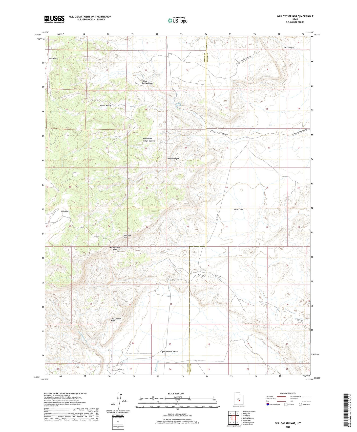
2023 topographic map quadrangle Willow Springs in the state of Utah. Scale: 1:24000. Based on the newly updated USGS 7.5' US Topo map series, this map is in the following counties: Sevier, Emery. The map contains contour data, water features, and other items you are used to seeing on USGS maps, but also has updated roads and other features. This is the next generation of topographic maps. Printed on high-quality waterproof paper with UV fade-resistant inks.
Quads adjacent to this one:
West: Johns Peak
Northwest: Old Woman Plateau
North: Walker Flat
Northeast: Mesa Butte
East: Mussentuchit Flat
Southeast: Salvation Creek
South: Solomons Temple
Southwest: Geyser Peak
This map covers the same area as the classic USGS quad with code o38111f3.
Contains the following named places: Blue Flats, Clay Flats, Indian Canyon, Last Chance Creek, Last Chance Ranch, Limestone Cliffs, North Fork Indian Canyon, North Hollow, Rock Canyon, Solomon Creek, Willow Springs