MyTopo
Soldier Summit Utah US Topo Map
Couldn't load pickup availability
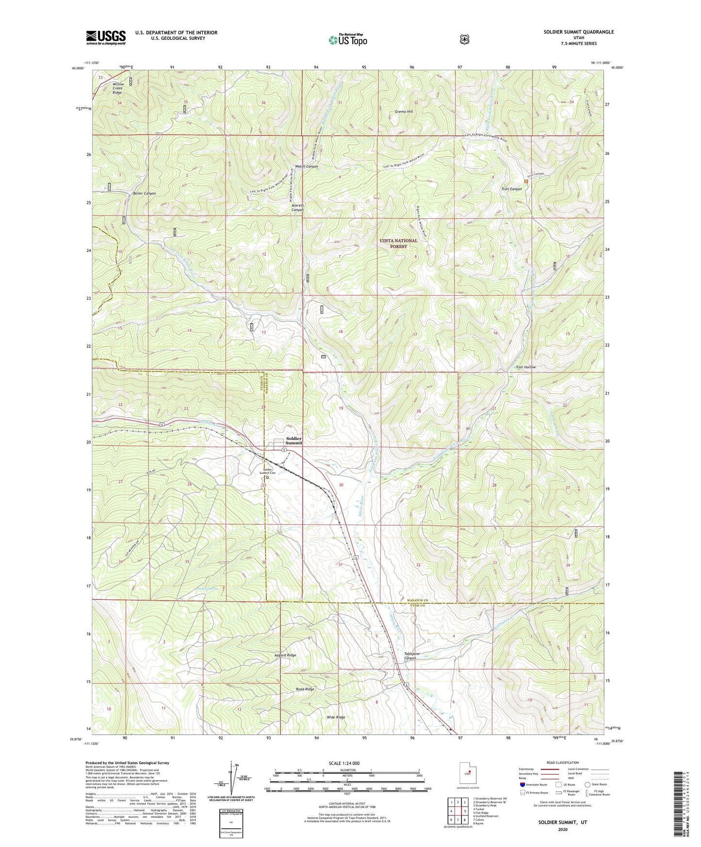
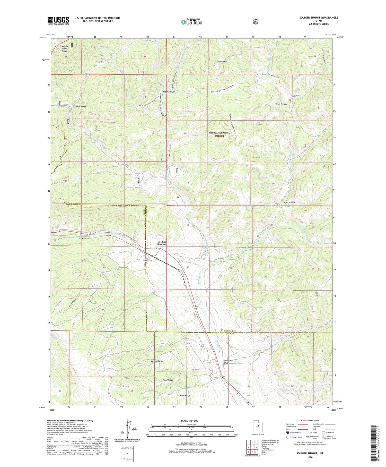
2020 topographic map quadrangle Soldier Summit in the state of Utah. Scale: 1:24000. Based on the newly updated USGS 7.5' US Topo map series, this map is in the following counties: Wasatch, Utah. The map contains contour data, water features, and other items you are used to seeing on USGS maps, but also has updated roads and other features. This is the next generation of topographic maps. Printed on high-quality waterproof paper with UV fade-resistant inks.
Quads adjacent to this one:
West: Tucker
Northwest: Strawberry Reservoir SW
North: Strawberry Reservoir SE
Northeast: Strawberry Peak
East: Flat Ridge
Southeast: Kyune
South: Colton
Southwest: Scofield Reservoir
Contains the following named places: Aagard Ridge, Averett Canyon, Boiler Canyon, Coddington Ranch, Daniels Ranch, Gremo Hill, Hunter Spring, Johnson Fork, Left Fork White River, Middle Fork White River, Right Fork White River, Road Ridge, Soldier Summit, Soldier Summit Cemetery, Soldier Summit Division, Tabbyune Canyon, Tabbyune Creek, Trail Canyon, Trail Hollow, Watch Canyon