MyTopo
Sunset Peak Utah US Topo Map
Couldn't load pickup availability
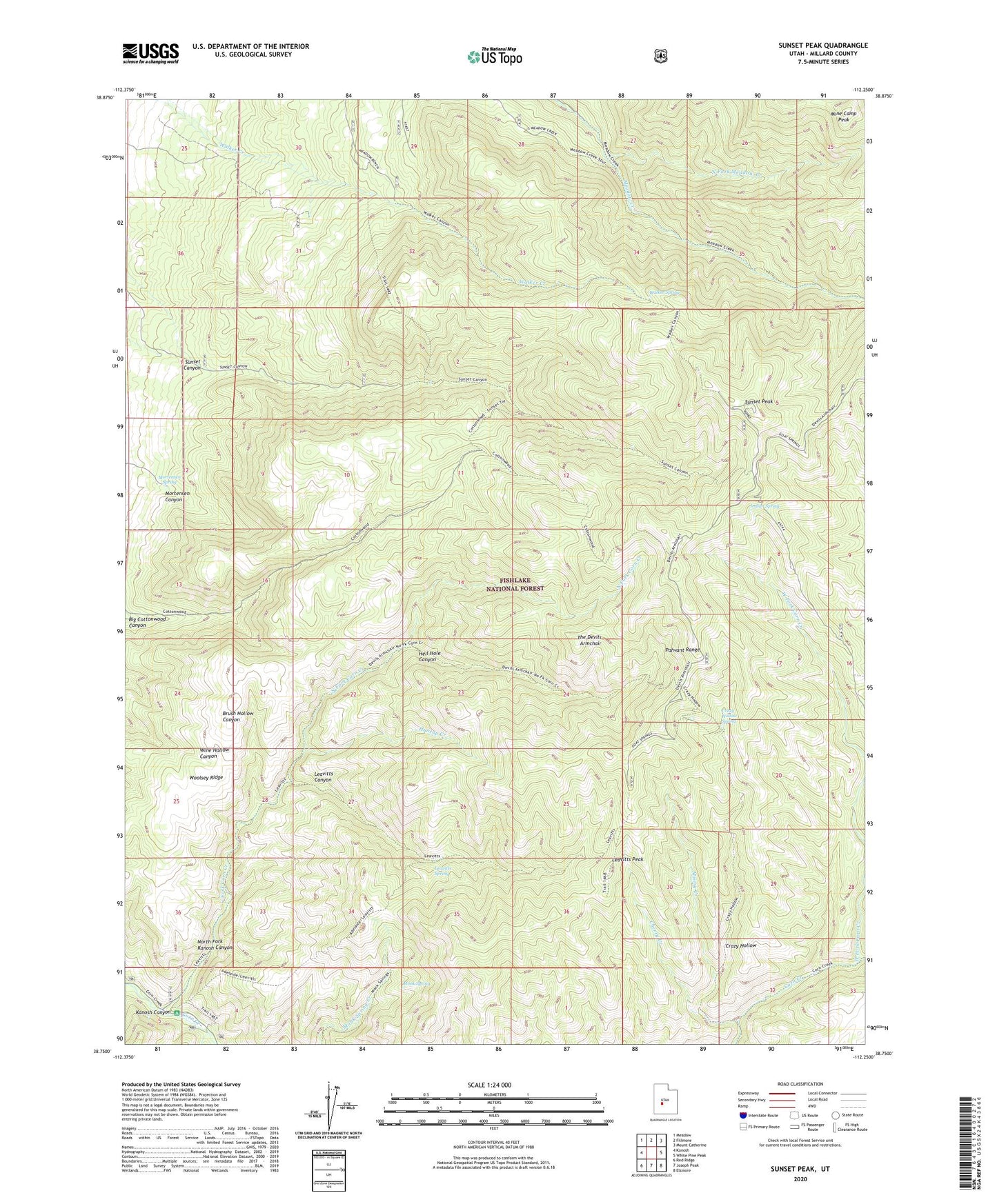
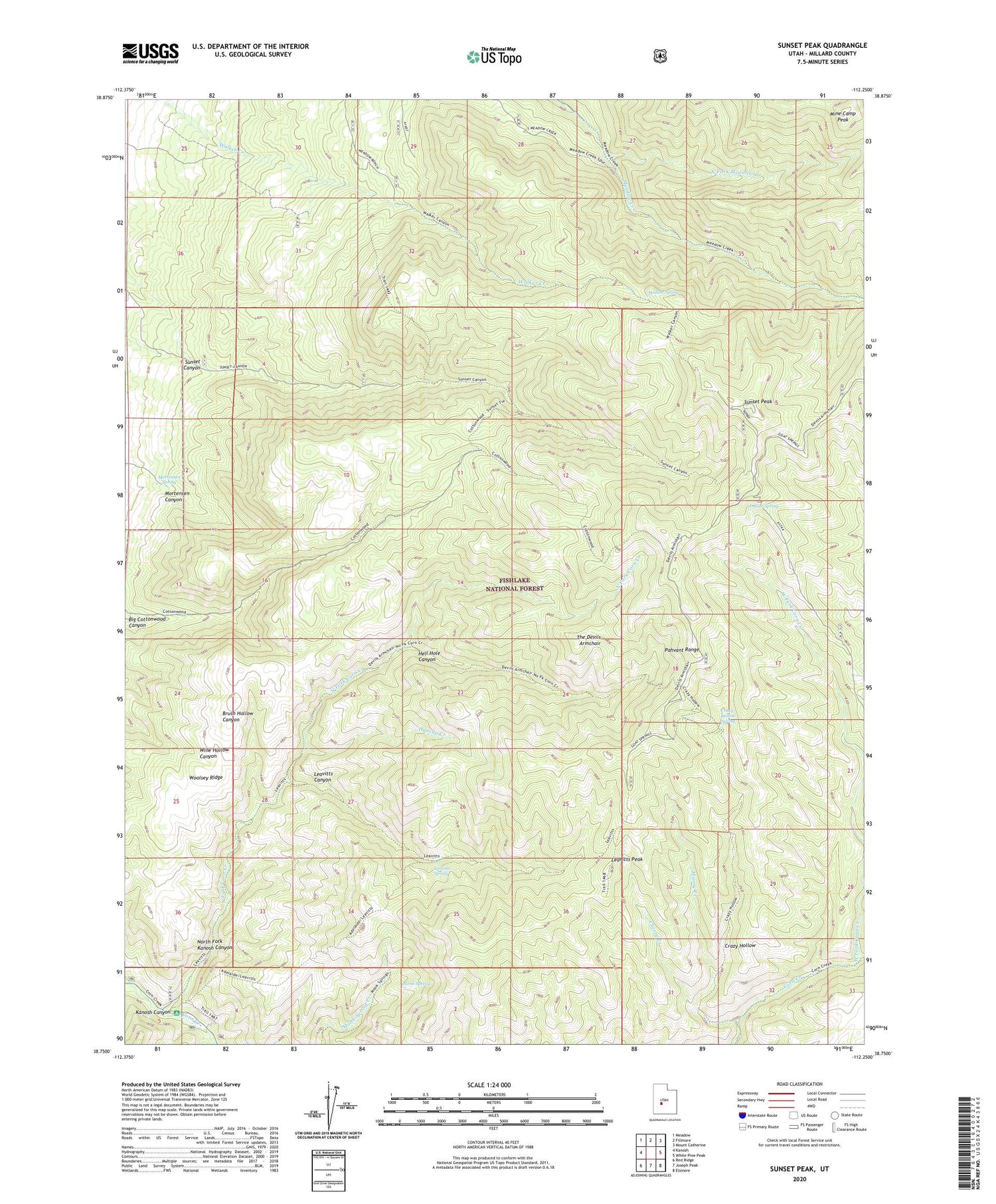
2020 topographic map quadrangle Sunset Peak in the state of Utah. Scale: 1:24000. Based on the newly updated USGS 7.5' US Topo map series, this map is in the following counties: Millard. The map contains contour data, water features, and other items you are used to seeing on USGS maps, but also has updated roads and other features. This is the next generation of topographic maps. Printed on high-quality waterproof paper with UV fade-resistant inks.
Quads adjacent to this one:
West: Kanosh
Northwest: Meadow
North: Fillmore
Northeast: Mount Catherine
East: White Pine Peak
Southeast: Elsinore
South: Joseph Peak
Southwest: Red Ridge
Contains the following named places: Adelaide Campground, Big Cottonwood Canyon, Cherry Creek, Crazy Hollow, Crazy Hollow Spring, East Fork Corn Creek, First Creek, Hell Hole Canyon, Huncup Creek, Indian Spring, Leavitts Canyon, Leavitts Peak, Leavitts Spring, Mine Camp Peak, Misery Creek, Monk Spring, Mortensen Canyon, Mortensen Spring, North Fork Corn Creek, North Fork Kanosh Canyon, North Fork Meadow Creek, Pahvant Range, Sunset Canyon, Sunset Peak, The Devils Armchair, Walker Spring, West Fork Corn Creek, Woolsey Ridge