MyTopo
White Pine Peak Utah US Topo Map
Couldn't load pickup availability
Also explore the White Pine Peak Forest Service Topo of this same quad for updated USFS data
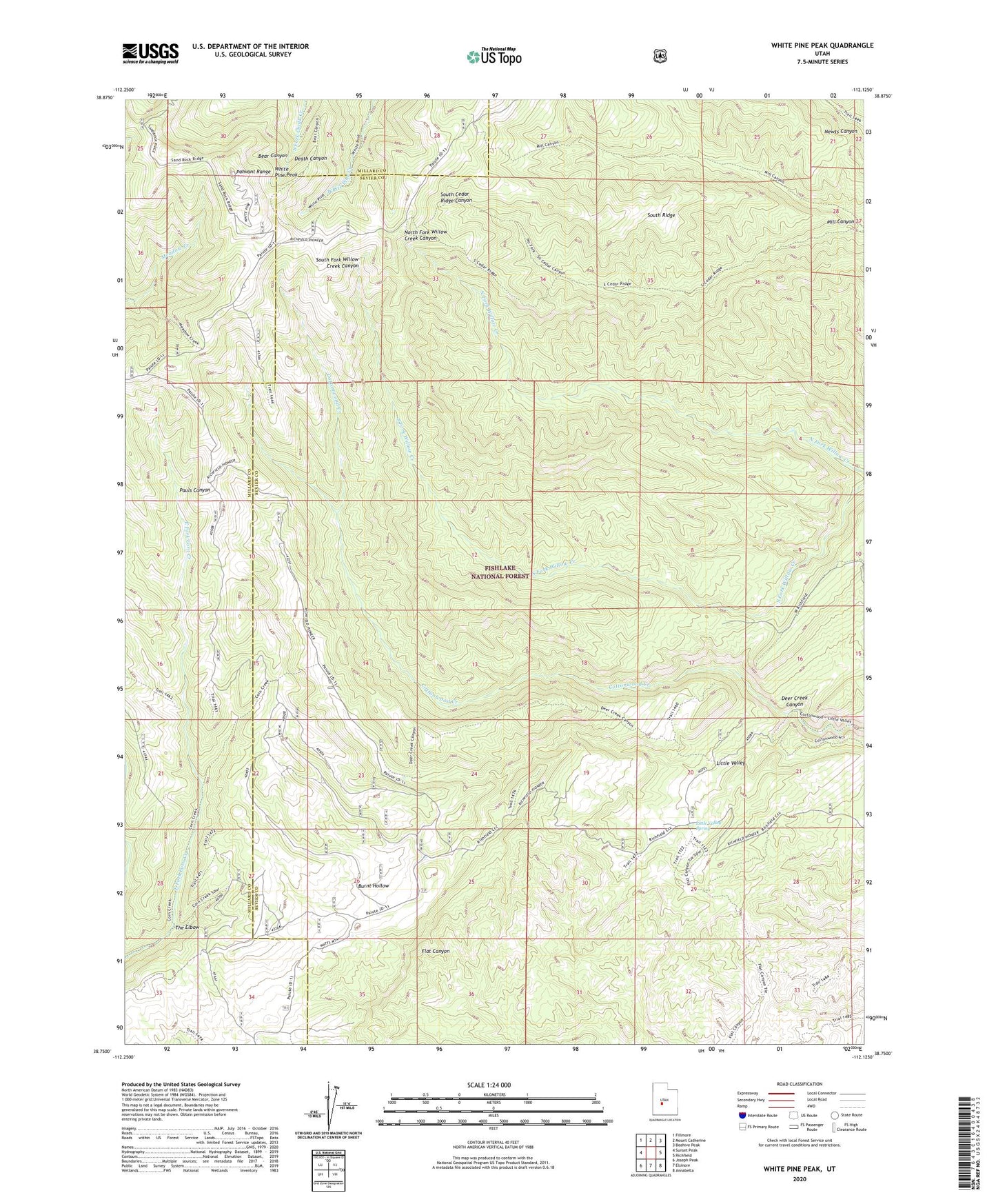
2023 topographic map quadrangle White Pine Peak in the state of Utah. Scale: 1:24000. Based on the newly updated USGS 7.5' US Topo map series, this map is in the following counties: Sevier, Millard. The map contains contour data, water features, and other items you are used to seeing on USGS maps, but also has updated roads and other features. This is the next generation of topographic maps. Printed on high-quality waterproof paper with UV fade-resistant inks.
Quads adjacent to this one:
West: Sunset Peak
Northwest: Fillmore
North: Mount Catherine
Northeast: Beehive Peak
East: Richfield
Southeast: Annabella
South: Elsinore
Southwest: Joseph Peak
This map covers the same area as the classic USGS quad with code o38112g2.
Contains the following named places: Burnt Hollow, Death Canyon, Deer Creek Canyon, Little Valley, Little Valley Spring, Mill Canyon, Pauls Canyon, Redview Forest Service Station, Redview Guard Station, South Ridge, The Elbow, White Pine Cabins, White Pine Peak