MyTopo
The Barracks Utah US Topo Map
Couldn't load pickup availability
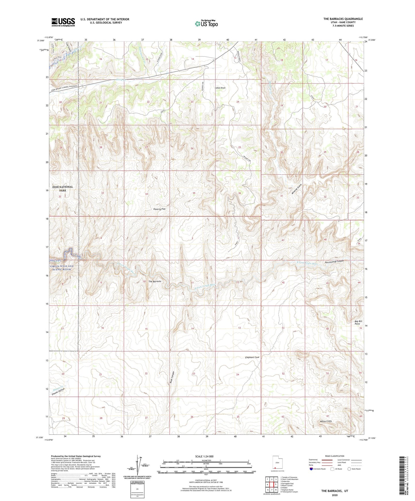
2023 topographic map quadrangle The Barracks in the state of Utah. Scale: 1:24000. Based on the newly updated USGS 7.5' US Topo map series, this map is in the following counties: Kane. The map contains contour data, water features, and other items you are used to seeing on USGS maps, but also has updated roads and other features. This is the next generation of topographic maps. Printed on high-quality waterproof paper with UV fade-resistant inks.
Quads adjacent to this one:
West: Springdale East
Northwest: Temple of Sinawava
North: Clear Creek Mountain
Northeast: Orderville
East: Mount Carmel
Southeast: Yellowjacket Canyon
South: Elephant Butte
Southwest: Hildale
This map covers the same area as the classic USGS quad with code o37112b7.
Contains the following named places: Bay Bill Point, Cave Canyon, Elephant Cove, Indian Knoll, Meadow Creek, Mineral Gulch, Poverty Flat, Poverty Wash, Rock Canyon, The Barracks, Waterpocket Creek, ZIP Code: 84755