MyTopo
The Loop Utah US Topo Map
Couldn't load pickup availability
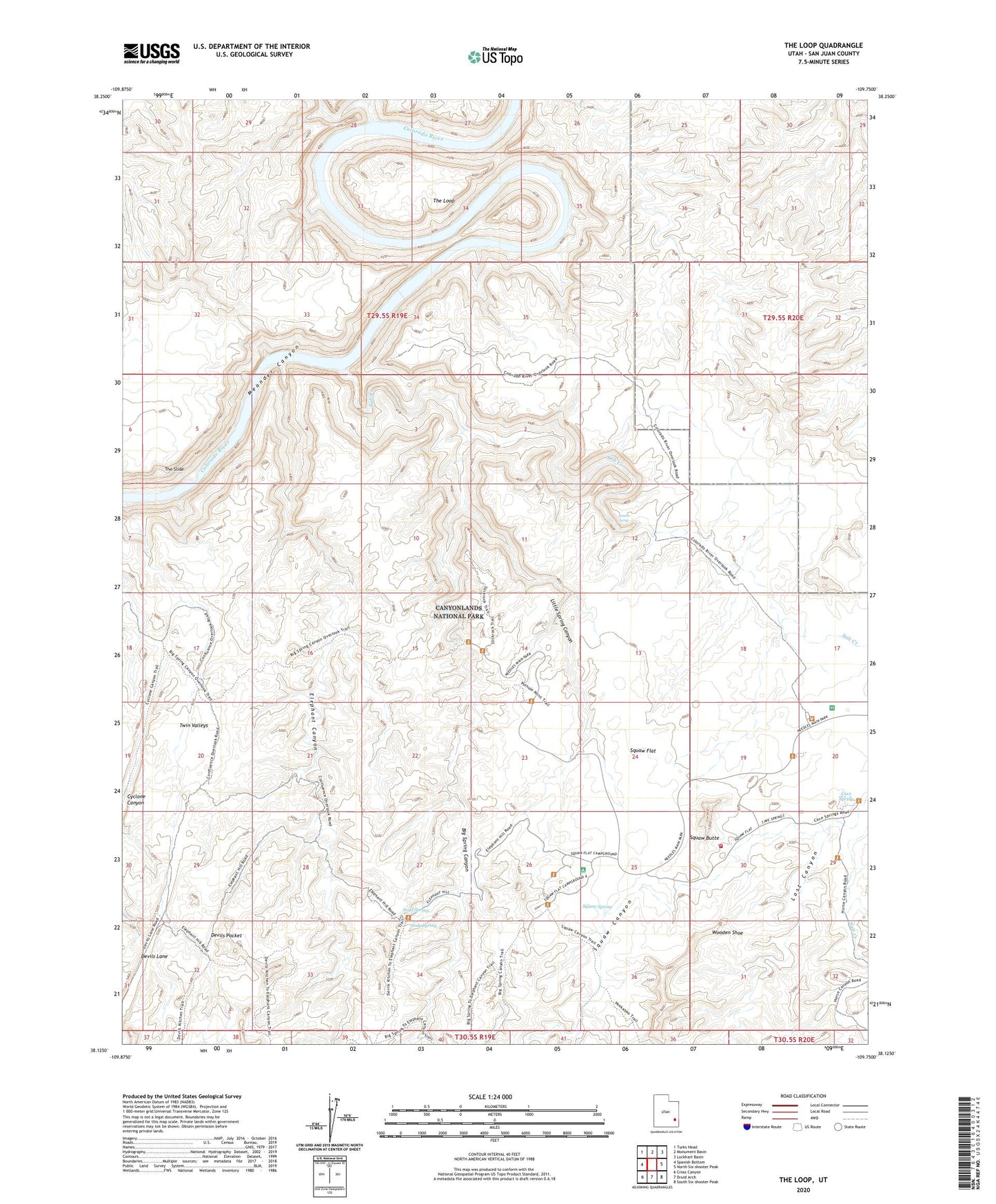
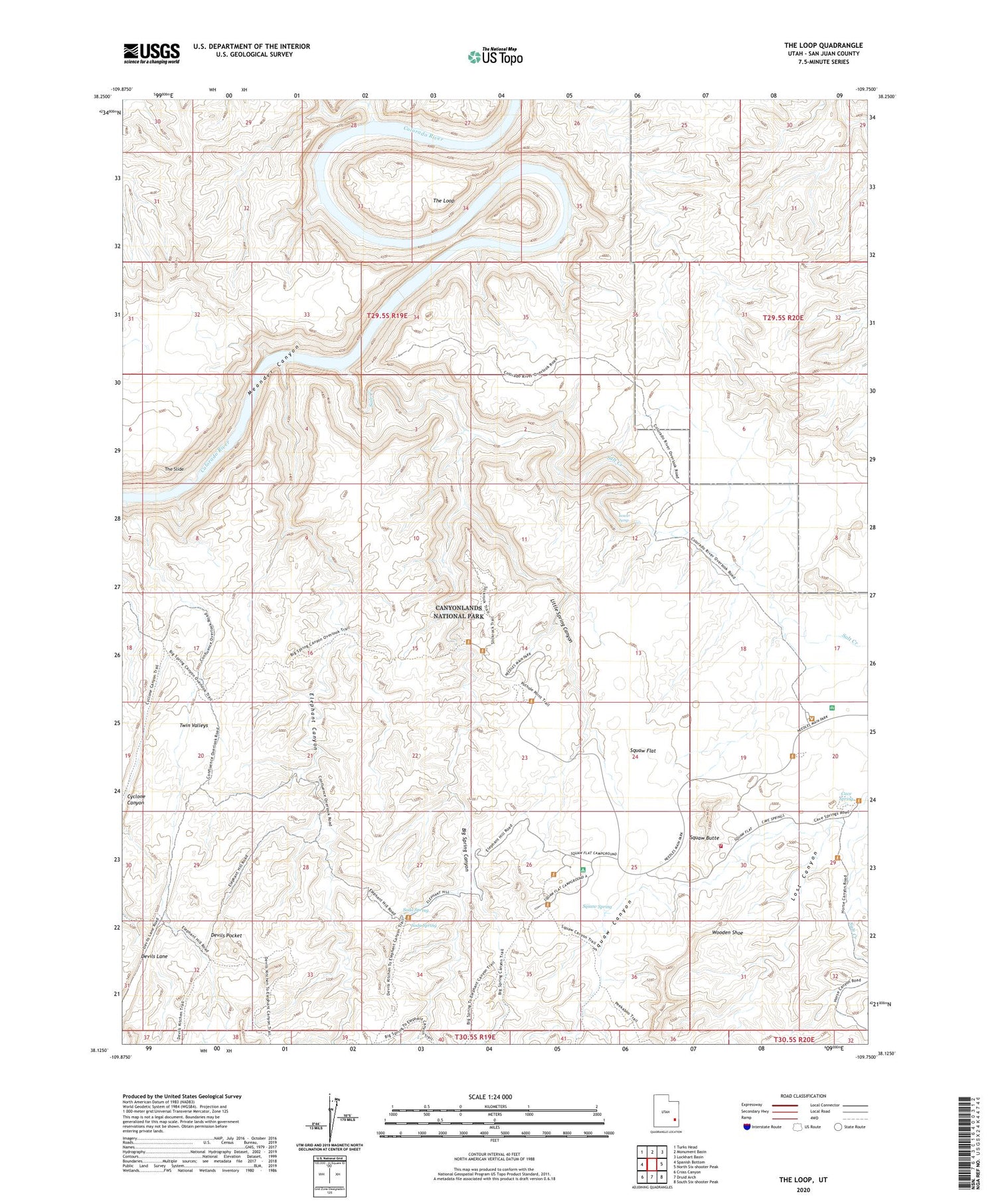
2020 topographic map quadrangle The Loop in the state of Utah. Scale: 1:24000. Based on the newly updated USGS 7.5' US Topo map series, this map is in the following counties: San Juan. The map contains contour data, water features, and other items you are used to seeing on USGS maps, but also has updated roads and other features. This is the next generation of topographic maps. Printed on high-quality waterproof paper with UV fade-resistant inks.
Quads adjacent to this one:
West: Spanish Bottom
Northwest: Turks Head
North: Monument Basin
Northeast: Lockhart Basin
East: North Six-shooter Peak
Southeast: South Six-shooter Peak
South: Druid Arch
Southwest: Cross Canyon
Contains the following named places: Big Spring Canyon, Big Spring Canyon Overlook, Canyonlands National Park Needles Fire District, Cave Spring, Cave Spring Trail, Colorado River Overlook, Cyclone Canyon, Devils Canyon, Devils Lane, Devils Pocket, Elephant Canyon, Elephant Hill, Little Spring Canyon, Lost Canyon, Lower Jump, Pothole Point, Salt Creek, Silver Stairs, Soda Spring, Squaw Butte, Squaw Canyon, Squaw Flat, Squaw Flat Campground, Squaw Spring, The Loop, The Needles Ranger Station, The Slide, Twin Valleys, Wooden Shoe