MyTopo
The Rincon NE Utah US Topo Map
Couldn't load pickup availability
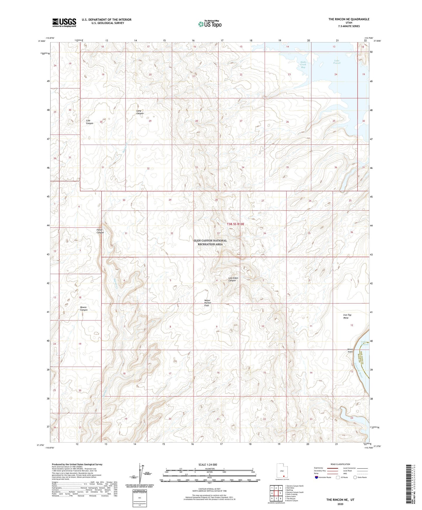
2023 topographic map quadrangle The Rincon NE in the state of Utah. Scale: 1:24000. Based on the newly updated USGS 7.5' US Topo map series, this map is in the following counties: Kane, San Juan. The map contains contour data, water features, and other items you are used to seeing on USGS maps, but also has updated roads and other features. This is the next generation of topographic maps. Printed on high-quality waterproof paper with UV fade-resistant inks.
Quads adjacent to this one:
West: Stevens Canyon South
Northwest: Stevens Canyon North
North: Hall Mesa
Northeast: Bullfrog
East: Halls Crossing
Southeast: Alcove Canyon
South: The Rincon
Southwest: Davis Gulch
This map covers the same area as the classic USGS quad with code o37110d7.
Contains the following named places: Chaffin Cabin, Iron Top Mesa, Miners Stairs, Poor Mans Placer