MyTopo
Governors Mountain Vermont US Topo Map
Couldn't load pickup availability
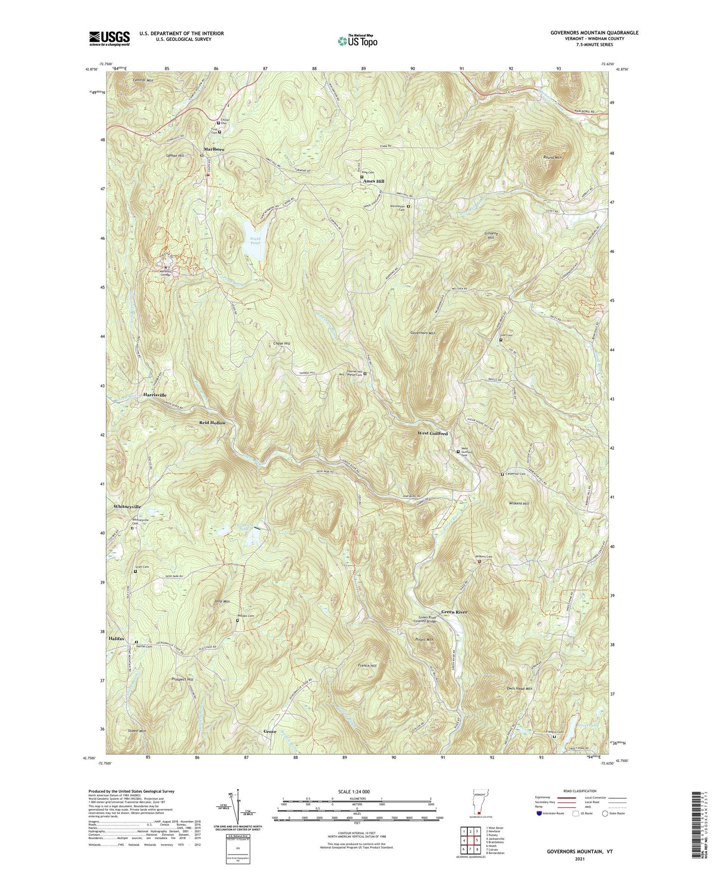
2024 topographic map quadrangle Governors Mountain in the state of Vermont. Scale: 1:24000. Based on the newly updated USGS 7.5' US Topo map series, this map is in the following counties: Windham. The map contains contour data, water features, and other items you are used to seeing on USGS maps, but also has updated roads and other features. This is the next generation of topographic maps. Printed on high-quality waterproof paper with UV fade-resistant inks.
Quads adjacent to this one:
West: Jacksonville
Northwest: West Dover
North: Newfane
Northeast: Putney
East: Brattleboro
Southeast: Bernardston
South: Colrain
Southwest: Heath
Contains the following named places: Ames Hill, Carpenter Cemetery, Center Cemetery, Central Mountain, Chase Hill, Deer Park, Deer Park Pond, Deer Park Pond Dam, First Cemetery, Franklin Cemetery, French Hill, Ginseng Hill, Governors Mountain, Green River, Green River Covered Bridge, Grove, Halifax, Halifax Cemetery, Harrisville, Harrisville Brook, Hinesburg Brook, Howard and Amy Rice Library, Jolly Mountain, King Cemetery, Lee Cemetery, Lyman Hill, Marlboro, Marlboro College, Marlboro Congregational Church, Marlboro Elementary School, Marlboro Historical Society Building, Marlboro Post Office, Marlboro Volunteer Fire Department, Moss Hollow Campground, Owls Head Mountain, Pond Brook, Prospect Hill, Pulpit Mountain, Reid Hollow, Round Mountain, Scott Cemetery, South Pond, Stowe Mountain, Sweet Pond, Sweet Pond Dam, Sweet Pond State Park, The Old Muster Ground, Thomas Hill - Bell - Phelps Cemetery, Town of Halifax, Town School Number 2, Wellman School, West Guilford, West Guilford Cemetery, Whitneyville, Whitneyville Cemetery, Wilkens Cemetery, Wilkens Hill, Winchester Cemetery, Worden Cemetery, ZIP Codes: 05301, 05358


