MyTopo
Jay Peak OE N Vermont US Topo Map
Couldn't load pickup availability
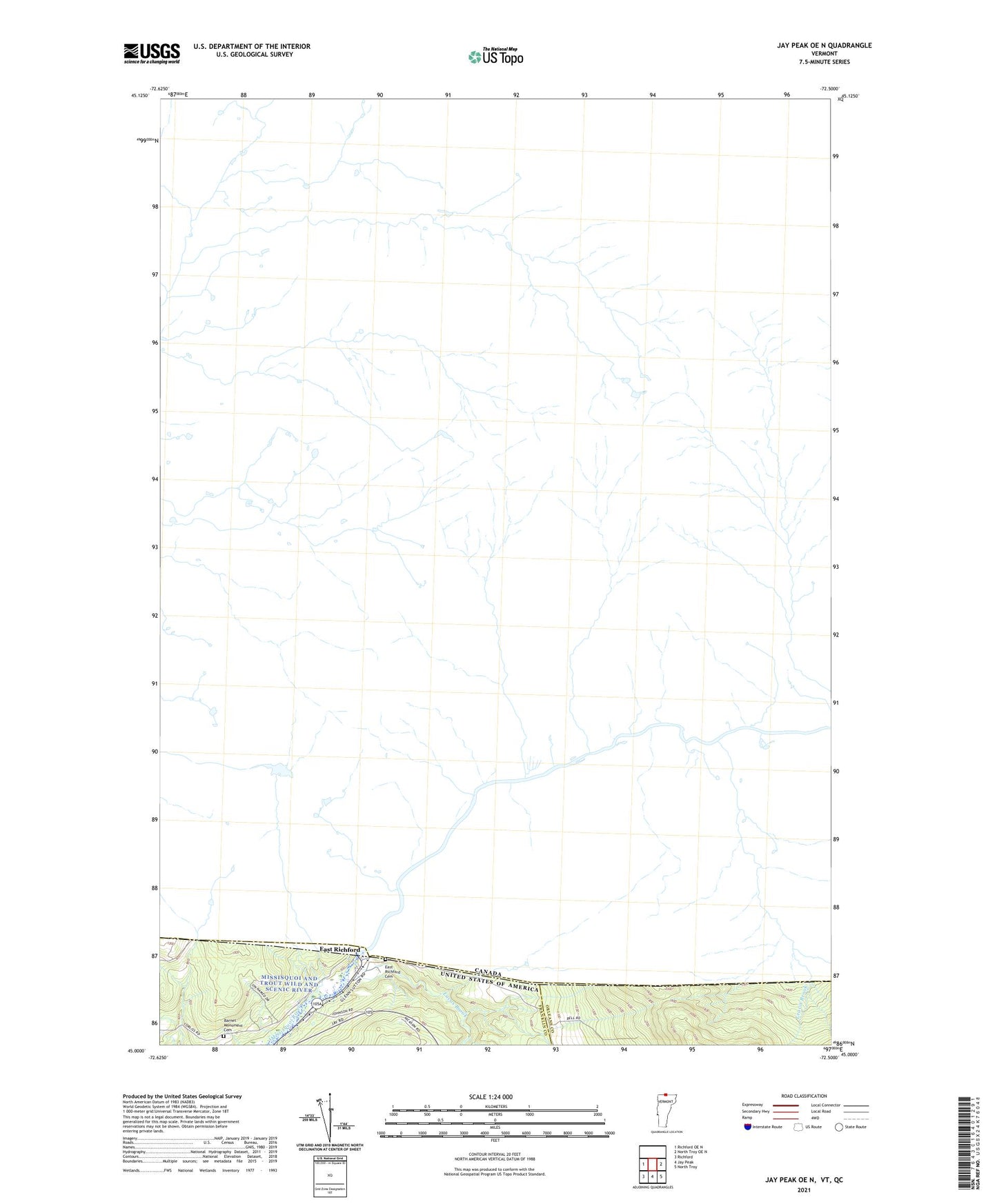
2024 topographic map quadrangle Jay Peak OE N in the state of Vermont. Scale: 1:24000. Based on the newly updated USGS 7.5' US Topo map series, this map is in the following counties: Franklin, Orleans. The map contains contour data, water features, and other items you are used to seeing on USGS maps, but also has updated roads and other features. This is the next generation of topographic maps. Printed on high-quality waterproof paper with UV fade-resistant inks.
Quads adjacent to this one:
West: Richford OE N
East: North Troy OE N
Southeast: North Troy
South: Jay Peak
Southwest: Richford
Contains the following named places: Barnet Monument Cemetery, East Richford, East Richford Cemetery, Leavit Brook, Lucas Brook, Missisquoi Station