MyTopo
Abilene Virginia US Topo Map
Couldn't load pickup availability
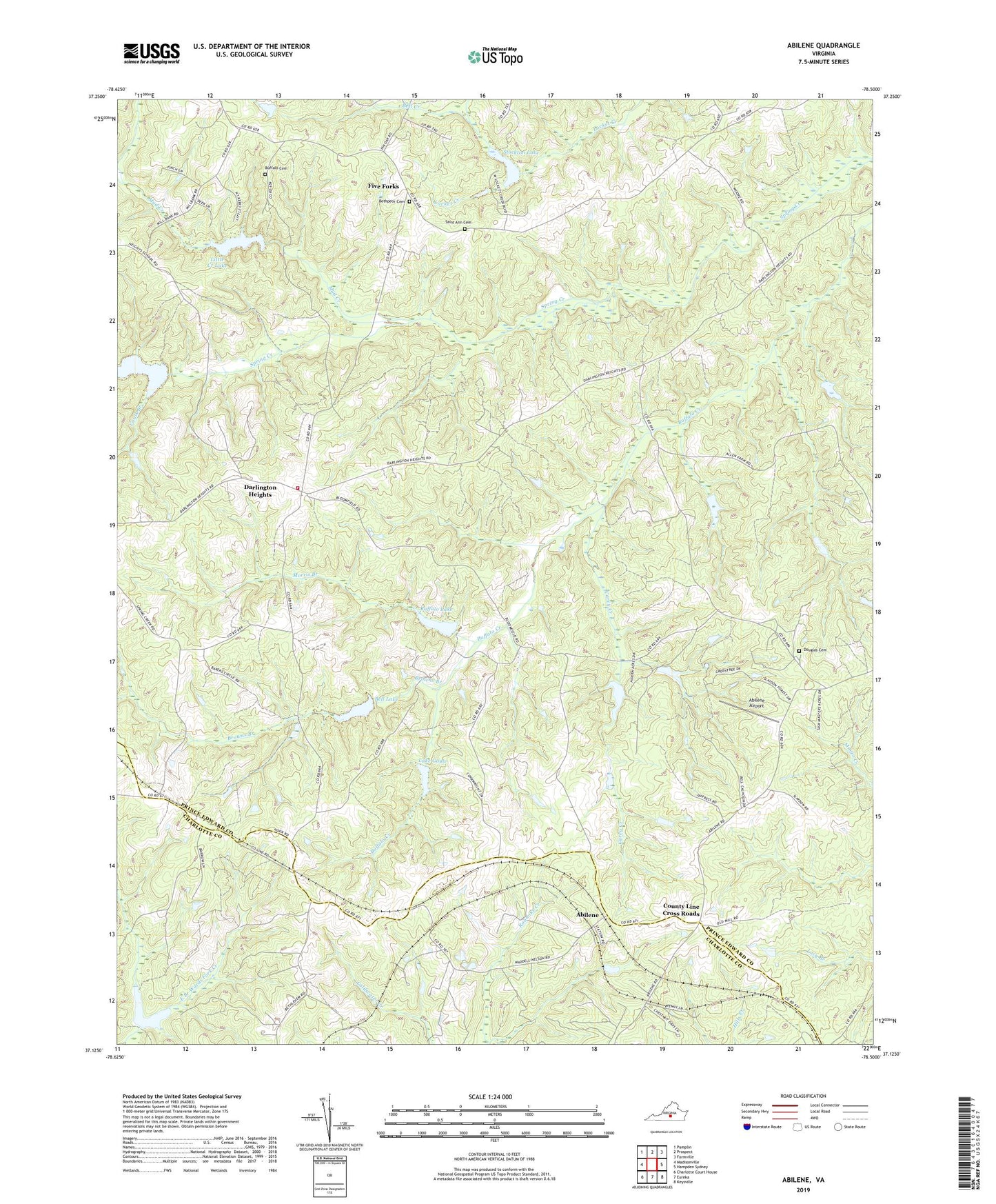
2022 topographic map quadrangle Abilene in the state of Virginia. Scale: 1:24000. Based on the newly updated USGS 7.5' US Topo map series, this map is in the following counties: Prince Edward, Charlotte. The map contains contour data, water features, and other items you are used to seeing on USGS maps, but also has updated roads and other features. This is the next generation of topographic maps. Printed on high-quality waterproof paper with UV fade-resistant inks.
Quads adjacent to this one:
West: Madisonville
Northwest: Pamplin
North: Prospect
Northeast: Farmville
East: Hampden Sydney
Southeast: Keysville
South: Eureka
Southwest: Charlotte Court House
This map covers the same area as the classic USGS quad with code o37078b5.
Contains the following named places: Abilene, Abilene Airport, Bell Creek, Bell Lake, Bethlehem Church, Bethpeor Cemetery, Bethpeor Church, Beulah Church, Browns Branch, Buffalo Cemetery, Buffalo Church, Buffalo Creek Number Eight Dam, Buffalo Creek Number Five Dam, Buffalo Creek Number Four Dam, Buffalo Creek Number Nine Dam, Buffalo Creek Number Seven Dam, Buffalo Creek Number Six Dam, Buffalo Creek Number Three Dam, Buffalo Creek Number Two Dam, Buffalo Lake, Carey Creek, Caulk Branch, County Line Cross Roads, Darlington Heights, Darlington Heights School, Darlington Heights Volunteer Fire Department, District 501, Douglas Cemetery, Douglas Church, Five Forks, Five Forks School, Flintoy Creek, Lake Gayle, Little Creek Lake, Morris Branch, Mount Nebo Church, Mud Creek, New Hope Baptist Church, Saint Ann Cemetery, Spring Creek Church, Spring Creek Lake, Stockton Lake, Tredway, Triumph Church, Willow Grove Church