MyTopo
Aylett Virginia US Topo Map
Couldn't load pickup availability
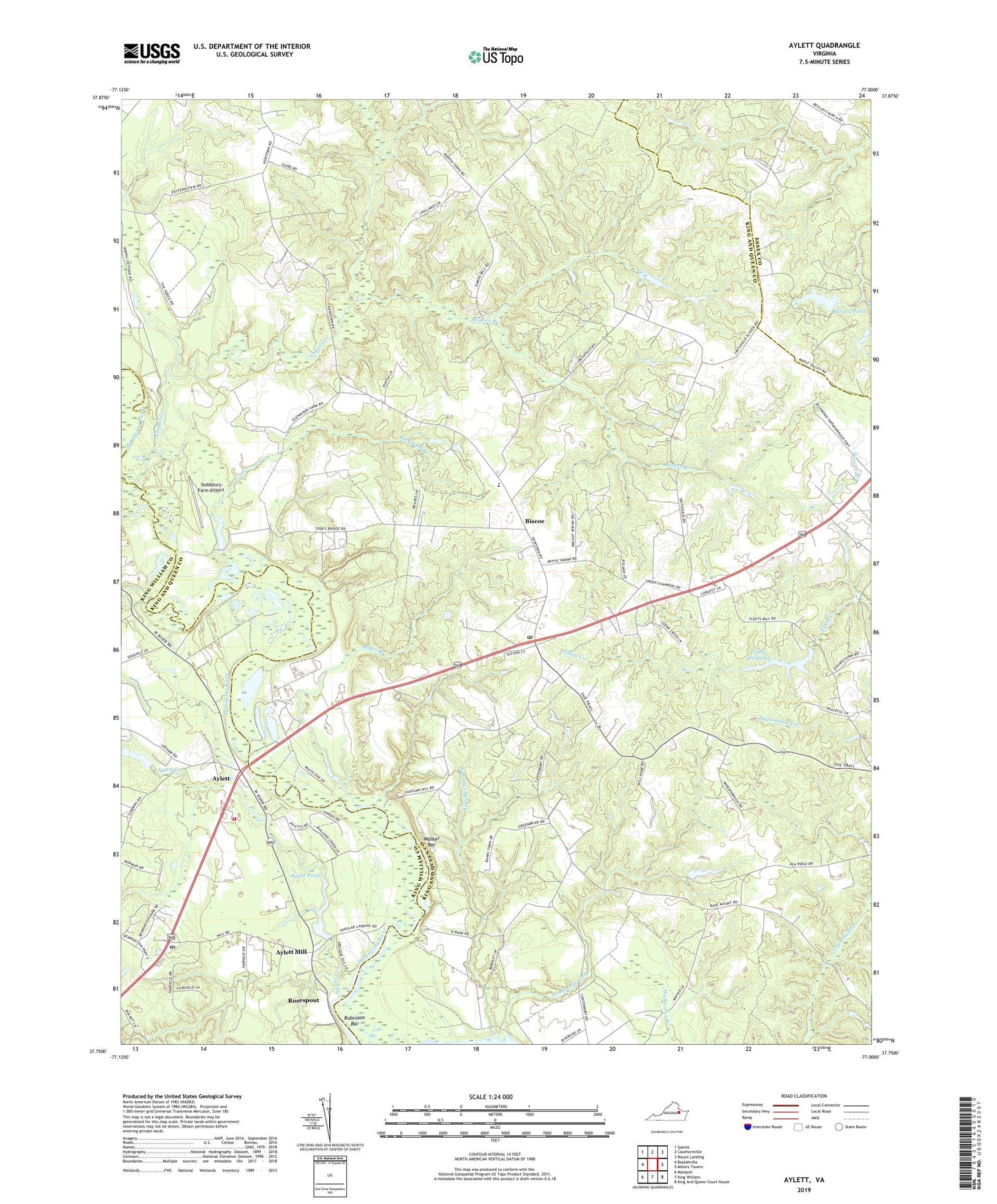
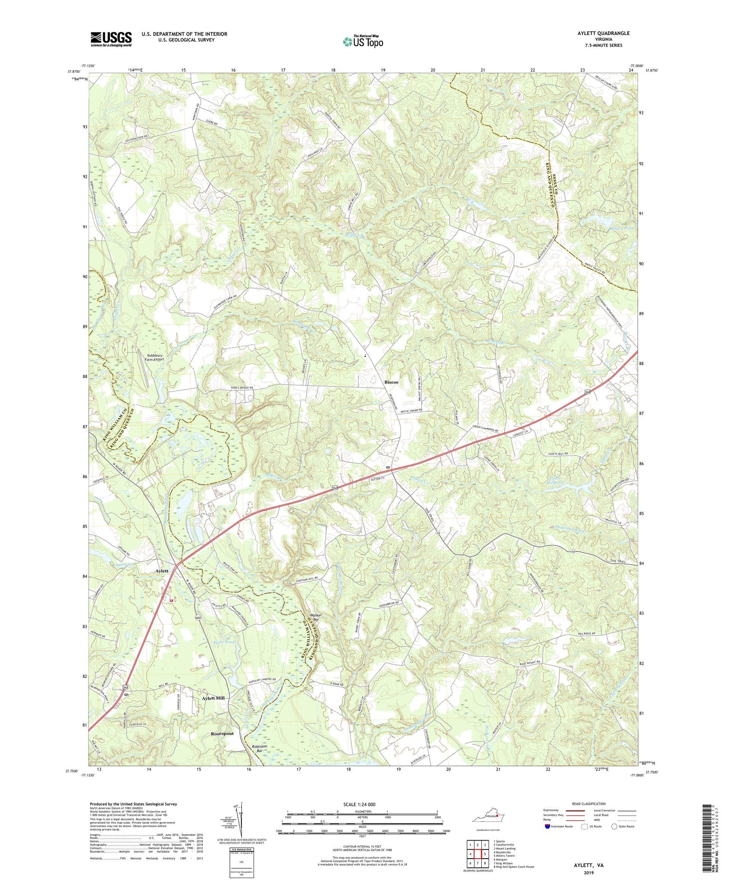
2019 topographic map quadrangle Aylett in the state of Virginia. Scale: 1:24000. Based on the newly updated USGS 7.5' US Topo map series, this map is in the following counties: King and Queen, King William, Essex. The map contains contour data, water features, and other items you are used to seeing on USGS maps, but also has updated roads and other features. This is the next generation of topographic maps. Printed on high-quality waterproof paper with UV fade-resistant inks.
Quads adjacent to this one:
West: Beulahville
Northwest: Sparta
North: Cauthornville
Northeast: Mount Landing
East: Millers Tavern
Southeast: King And Queen Court House
South: King William
Southwest: Manquin
Contains the following named places: Aylett, Aylett Creek, Aylett Mill, Aylett Mill Dam, Aylett Pond, Aylett Post Office, Beaver Branch, Biscoe, Buckyard Branch, Cabin Landing Point, Cape Charlie, Chapel Creek, Deckers Dam, Dixon Creek, Dunkirk, Fleets Millpond, Georges Swamp, Gwathmeys Dam, Herring Creek, Hope Alive Family Church, Jones Landing, King William Volunteer Fire and Rescue, Lawson Marriott Elementary School, Lawson School, London Swamp, Mikes Branch, Millers Dam, Millers Pond, New Morning Star Church, New Mount Zion Church, Old Hall Landing, Pamunkey Regional Library King and Queen Branch Library, Pointers Landing, Poplar Landing, Providence Forge Volunteer Fire and Rescue, Robinson Bar, Rosespout, Saint Davids Church, Saint Stephens Church, Saint Stephens Church District, Saint Stephens Church Post Office, Shepherds Church, Stolfi Dam, Toddsbury Farm Airport, Walker Bar, ZIP Codes: 23148, 23177