MyTopo
Cauthornville Virginia US Topo Map
Couldn't load pickup availability
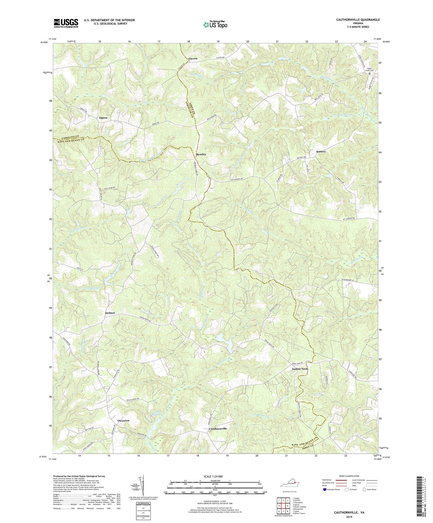
2022 topographic map quadrangle Cauthornville in the state of Virginia. Scale: 1:24000. Based on the newly updated USGS 7.5' US Topo map series, this map is in the following counties: King and Queen, Essex, Caroline. The map contains contour data, water features, and other items you are used to seeing on USGS maps, but also has updated roads and other features. This is the next generation of topographic maps. Printed on high-quality waterproof paper with UV fade-resistant inks.
Quads adjacent to this one:
West: Sparta
Northwest: Supply
North: Loretto
Northeast: Champlain
East: Mount Landing
Southeast: Millers Tavern
South: Aylett
Southwest: Beulahville
This map covers the same area as the classic USGS quad with code o37077h1.
Contains the following named places: Battery, Battery School, Beazley, Bull Neck Creek, Carneal Corners, Cauthornville, Croxton Stream, Elevon, Garnett Mill, Garnett Millpond, Garnett Millpond Dam, Harmony School, Helmet, Indian Neck, Indian Neck Church, Jones Millpond, King and Queen Training School, Kochs Dam, Mount Olive Church, New Liberty Church, Newtown District, Owenton, Rappahannock Indian Church, Rappahannock Tribal Designated Statistical Area, Rickenaw Creek, Tignor, Upper Essex Cemetery, Upper Essex Church, Upper King and Queen Church, Upper King and Queen Rescue Squad