MyTopo
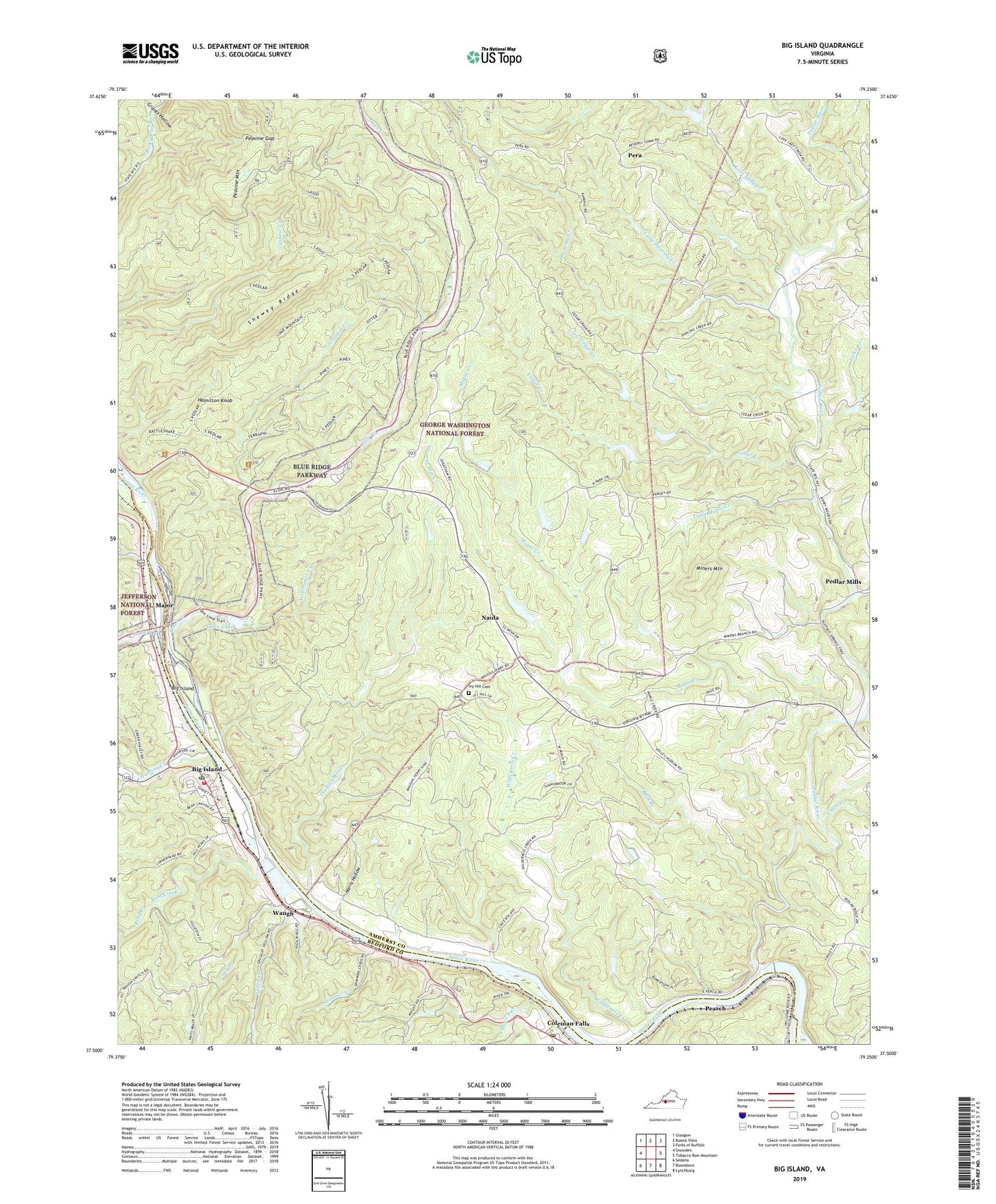
Big Island Virginia US Topo Map
Couldn't load pickup availability
Also explore the Big Island Forest Service Topo of this same quad for updated USFS data
2022 topographic map quadrangle Big Island in the state of Virginia. Scale: 1:24000. Based on the newly updated USGS 7.5' US Topo map series, this map is in the following counties: Amherst, Bedford. The map contains contour data, water features, and other items you are used to seeing on USGS maps, but also has updated roads and other features. This is the next generation of topographic maps. Printed on high-quality waterproof paper with UV fade-resistant inks.
Quads adjacent to this one:
West: Snowden
Northwest: Glasgow
North: Buena Vista
Northeast: Forks of Buffalo
East: Tobacco Row Mountain
Southeast: Lynchburg
South: Boonsboro
Southwest: Sedalia
This map covers the same area as the classic USGS quad with code o37079e3.
Contains the following named places: Battery Creek, Big Island, Big Island Census Designated Place, Big Island Dam, Big Island Emergency Crew, Big Island Post Office, Big Island Reservoir, Big Island Volunteer Fire Department, Buck Branch, Burruss Dam, Cabin Creek, Cashaw Creek Trail, Cedar Creek, Centenary Church, Clark Creek, Coleman Falls, Coleman Falls Post Office, Colemans Fall Dam, Colemans Fall Reservoir, Corner Stone Baptist Church, Dancing Creek, District 3, Grants Hollow, Hamilton Knob, Harris Hollow, Holcomb Rock, Holcomb Rock Dam, Horsley Creek, Hunting Creek, Indian Run, Ivy Hill Cemetery, Ivy Hill Church, Jacks Branch, Knoll, Little Cedar Creek, Little Dancing Creek, Little Maple Creek, Little Otter Creek, Long Branch, Love Lady Creek, Lower Otter Creek Overlook, Lyn Dan Heights Volunteer Fire Department, Major, Maple Creek, Middle Otter Creek Overlook, Miners Mountain, Naola, Otter Creek, Otter Creek Flats Overlook, Otter Creek Recreation Area, Otter Lake, Otter Lake Dam, Pearch, Peavine Gap, Pedlar, Pedlar Mills, Pedlar River, Pera, Peters Creek, Pleasantview Hunt Club Pond, Reed Creek, Shewey Ridge, Skimmer Creek, Terrapin Creek, Terrapin Hill Overlook, The Riffles Overlook, Thomas Mill Creek, Thornton Church, Upper Otter Creek Overlook, Waugh, Wilderness Creek, ZIP Code: 24574


