MyTopo
Bowling Green Virginia US Topo Map
Couldn't load pickup availability
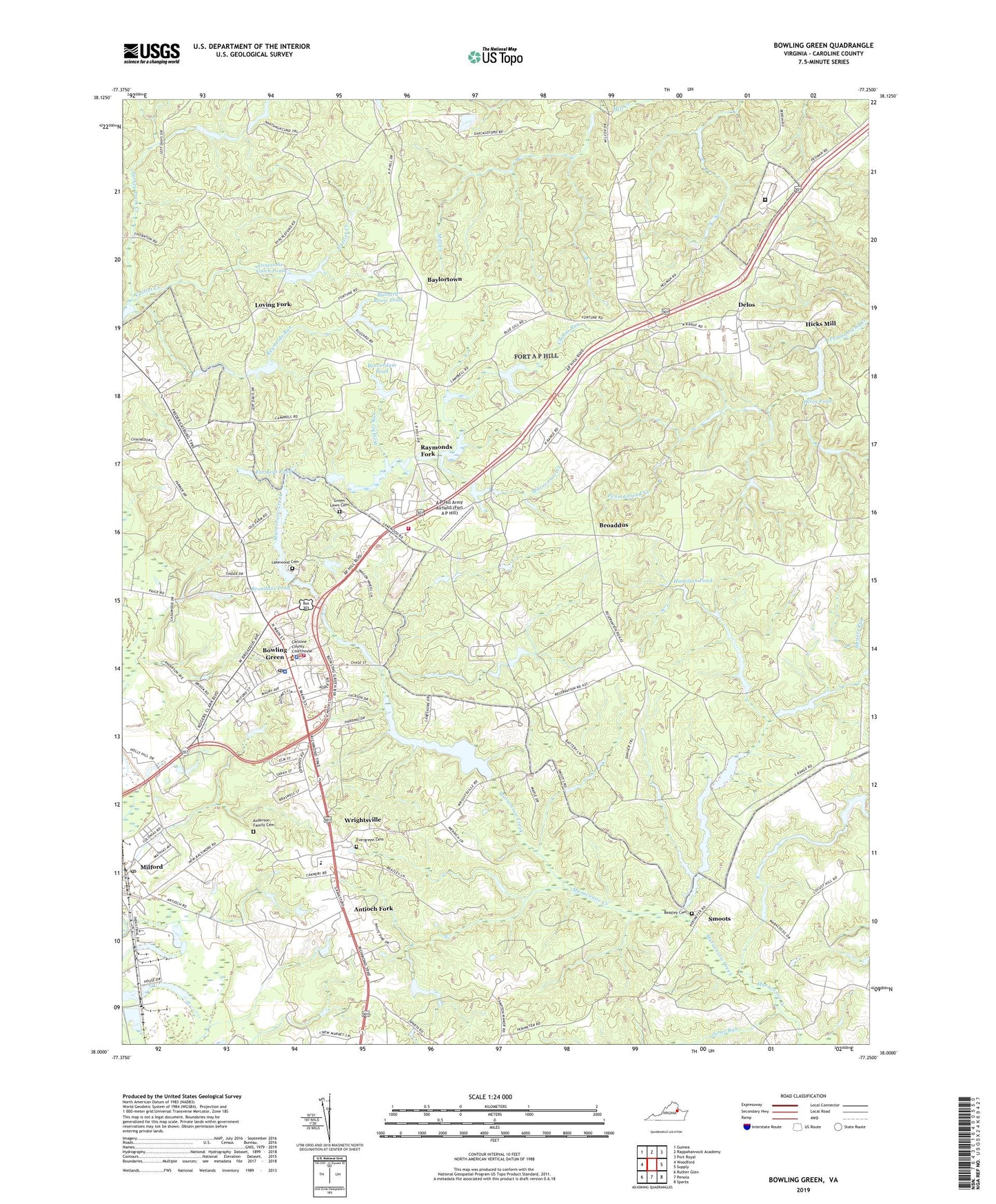
2019 topographic map quadrangle Bowling Green in the state of Virginia. Scale: 1:24000. Based on the newly updated USGS 7.5' US Topo map series, this map is in the following counties: Caroline. The map contains contour data, water features, and other items you are used to seeing on USGS maps, but also has updated roads and other features. This is the next generation of topographic maps. Printed on high-quality waterproof paper with UV fade-resistant inks.
Quads adjacent to this one:
West: Woodford
Northwest: Guinea
North: Rappahannock Academy
Northeast: Port Royal
East: Supply
Southeast: Sparta
South: Penola
Southwest: Ruther Glen
Contains the following named places: A P Hill Army Airfield (Fort A P Hill), Acors Corner, Anderson Family Cemetery, Ann Webster Corner, Antioch Fork, Baylortown, Beasley Cemetery, Beaverdam Pond, Beaverdam Pond Dam, Bowling Green, Bowling Green Elementary School, Bowling Green Police Department, Bowling Green Post Office, Broaddus, Broaddus Dam, Broaddus Mill, Broaddus Pond, Buzzard Roost Pond, Buzzard Roost Pond Dam, Caroline County, Caroline County Department of Fire / Rescue, Caroline County Department of Fire Rescue and Emergency Management - Administration, Caroline County Fire and Rescue / Bowling Green Volunteer Fire Department Company 1, Caroline County Fire and Rescue / Bowling Green Volunteer Rescue Squad Rescue 1, Caroline County Sheriff's Office, Carters Corner, Cattlet Creek, Chesapeake Bay Governors School, Chinns Run, D Pitts Dam, Delos, Delos Dam, Delos Lake, Delos Pond, Elliots Mill, Elliots Pond, Elliotts Dam, Evergreen Cemetery, Farmers, Farmers Pond, Fort A P Hill, Fort A P Hill Fire Department, Green Lawn Cemetery, Hamilton Pond, Hard Corner, Hicks Mill, Honeysuckle Gate, Howards Corner, Jones Run, Lakewood Cemetery, Lee Maury School, Lonesome Gulch Dam, Lonesome Gulch Pond, Loving Fork, Milford, Milford Post Office, Mount Calvary Church, Peumansend Creek Regional Jail, Poorhouse Corner, Range Corner, Raymonds Fork, Reynolds Run, Smoots, Smoots Dam, Smoots Pond, Smoots Run, Town of Bowling Green, Turkey Track Creek, Union High School, Virginia State Police Division 1 Area 44 Office, Wrights Run, Wrightsville, ZIP Codes: 22427, 22514