MyTopo
Boydton Virginia US Topo Map
Couldn't load pickup availability
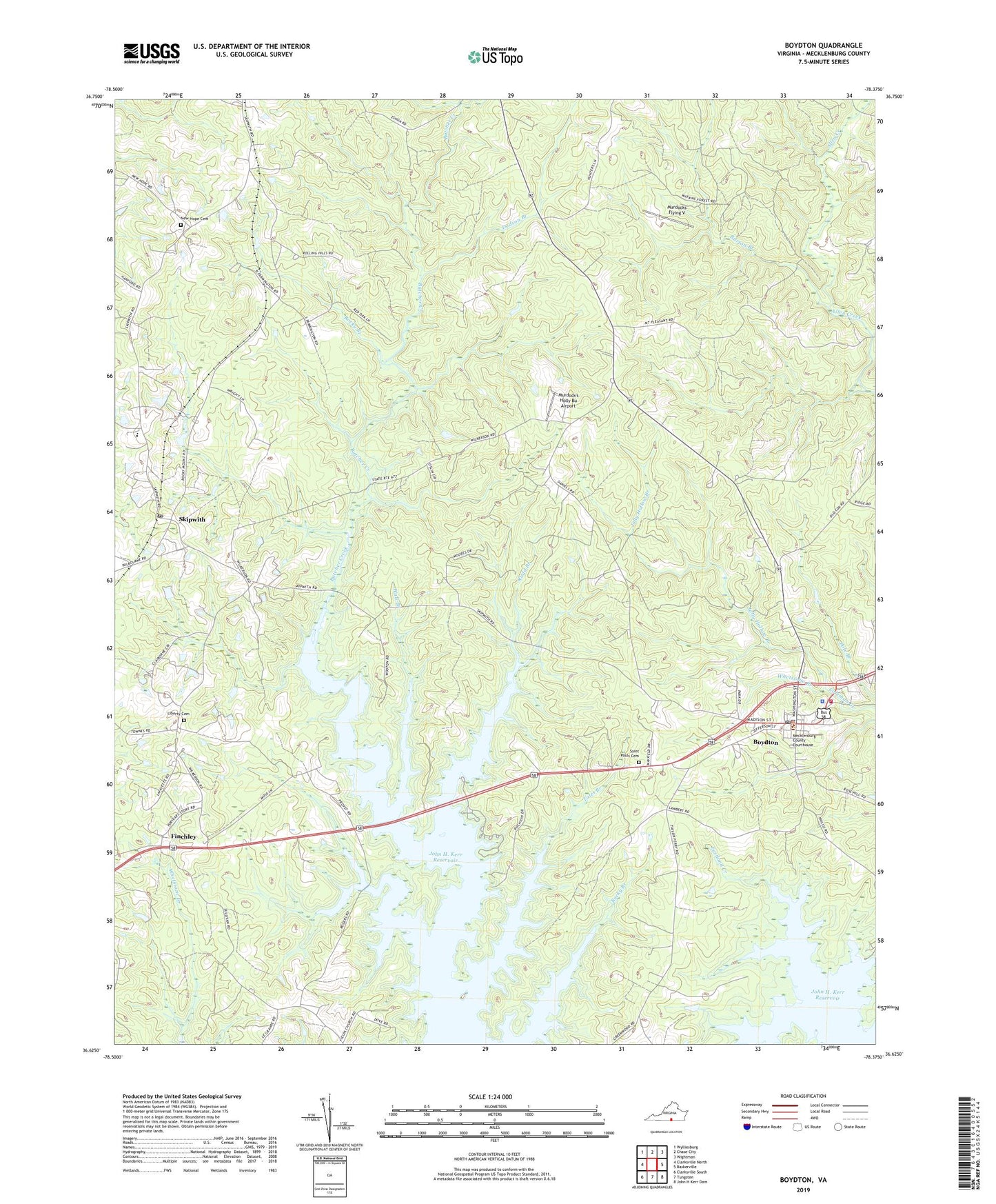
2019 topographic map quadrangle Boydton in the state of Virginia. Scale: 1:24000. Based on the newly updated USGS 7.5' US Topo map series, this map is in the following counties: Mecklenburg. The map contains contour data, water features, and other items you are used to seeing on USGS maps, but also has updated roads and other features. This is the next generation of topographic maps. Printed on high-quality waterproof paper with UV fade-resistant inks.
Quads adjacent to this one:
West: Clarksville North
Northwest: Wylliesburg
North: Chase City
Northeast: Wightman
East: Baskerville
Southeast: John H Kerr Dam
South: Tungsten
Southwest: Clarksville South
Contains the following named places: Bluestone High School, Boydton, Boydton Elementary School, Boydton Life Station, Boydton Police Department, Boydton Post Office, Boydton Volunteer Fire Department Company 1, Burton Branch, Central School, District 2, Dodson Branch, Dodson Corner, Finchley, Greenfield, Greenwood Church, Hages School, Jerusalem Temple, Jolly Hollow Branch, Liberty Cemetery, Liberty Church, Liberty School, Love School, Lower Butchers Wildlife Management Area, Mecklenburg County Courthouse, Mecklenburg County Sheriff's Office, Mount Pleasant Church, Mount Sinai Church, Murdocks Flying V, Murdock's Holly Bu Airport, New Hope Baptist Cemetery, New Hope Baptist Church, New Liberty Church, Rochichi Wildlife Management Area, Rocky Branch, Rocky Mount Church, Rogers Corner, Rudd Branch, Rudd Creek Public Use Area, Saint Johns Church, Saint Marks Church, Saint Pauls Cemetery, Saint Pauls Church, Skipwith, Skipwith Post Office, Tates Branch, Town of Boydton, Trinity Church, Wall Branch, Whetstone Branch