MyTopo
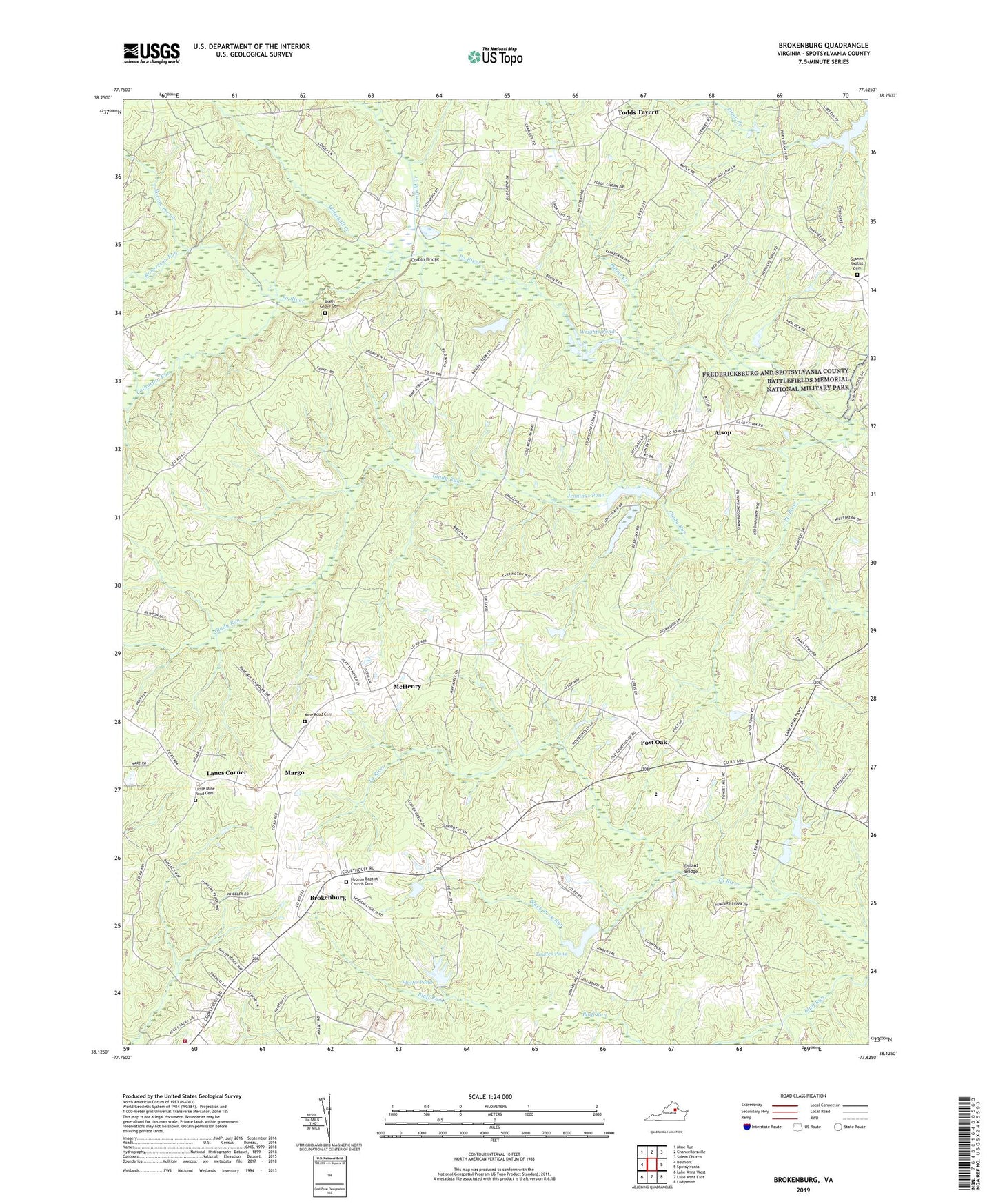
Brokenburg Virginia US Topo Map
Couldn't load pickup availability
2022 topographic map quadrangle Brokenburg in the state of Virginia. Scale: 1:24000. Based on the newly updated USGS 7.5' US Topo map series, this map is in the following counties: Spotsylvania. The map contains contour data, water features, and other items you are used to seeing on USGS maps, but also has updated roads and other features. This is the next generation of topographic maps. Printed on high-quality waterproof paper with UV fade-resistant inks.
Quads adjacent to this one:
West: Belmont
Northwest: Mine Run
North: Chancellorsville
Northeast: Salem Church
East: Spotsylvania
Southeast: Ladysmith
South: Lake Anna East
Southwest: Lake Anna West
This map covers the same area as the classic USGS quad with code o38077b6.
Contains the following named places: Alsop, Black Rock Run, Brokenburg, Catharpin Run, Corbin Bridge, Dillard Bridge, Flythe Dam, Flythe Pond, Glady Run, Goshen Baptist Cemetery, Goshen Church, Greenfield Creek, Hebron Baptist Church Cemetery, Hebron Church, Jennings Pond, Jennings Pond Dam, Lanes Corner, Lebanon Church, Little Mine Road Cemetery, Little Mine Road Church, Livingston District, Margo, McHenry, Mine Road Cemetery, Mine Road Church, Norton Prong, Olivers Corner, Piltzer Creek, Post Oak, Robertson Run, Shady Grove Cemetery, Shady Grove Church, Shady Grove Corner, Spotsylvania Camp Meeting, Spotsylvania County, Spotsylvania County Fire Station 2, Spotsylvania County Rescue Station 2, Spotsylvania High School, Spotsylvania Lookout Tower, Todds Tavern, Towles Pond, Towleys Dam, Whitehall Creek, WPLC-FM (Spotsylvania), Wrights Pond, Wrights Pond Dam, ZIP Code: 22551


