MyTopo
Chester Gap Virginia US Topo Map
Couldn't load pickup availability
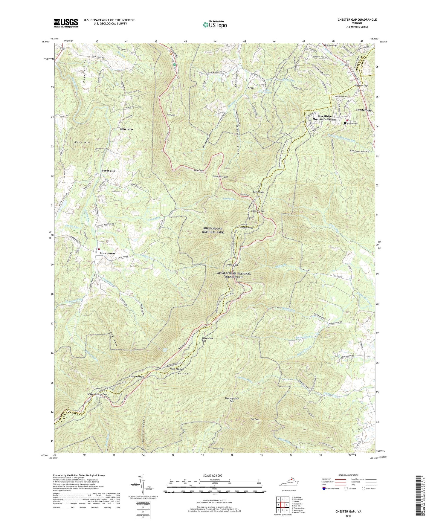
2022 topographic map quadrangle Chester Gap in the state of Virginia. Scale: 1:24000. Based on the newly updated USGS 7.5' US Topo map series, this map is in the following counties: Warren, Rappahannock, Fauquier. The map contains contour data, water features, and other items you are used to seeing on USGS maps, but also has updated roads and other features. This is the next generation of topographic maps. Printed on high-quality waterproof paper with UV fade-resistant inks.
Quads adjacent to this one:
West: Bentonville
Northwest: Strasburg
North: Front Royal
Northeast: Linden
East: Flint Hill
Southeast: Massies Corner
South: Washington
Southwest: Thornton Gap
This map covers the same area as the classic USGS quad with code o38078g2.
Contains the following named places: Arco, Bearwallow Creek, Big Devils Stairs Trail, Blue Ridge Mountains Estates, Bluff Trail, Bolton Branch, Bonnie Glen, Boyds Mill, Broad Run, Browntown, Browntown Baptist Church, Browntown Church, Browntown Valley Overlook, Buck Mountain, Carson Mountain, Chester Gap, Chester Gap Census Designated Place, Chester Gap Volunteer Fire Department, Compton Gap, Compton Peak, Curl Farm, Dickey Hill, Dickey Hill Trail, Dickey Ridge, Dickey Ridge Visitor Center, Front Royal-Warren County Amphitheater, Gimlet Ridge Overlook, Glen Echo, Glenn Manor Tree Farm, Glenway Farm, Gooney Creek Tree Farm, Gooney Manor Overlook, Gooney Run Overlook, Gravel Springs Gap, Gravel Springs Shelter, Greasy Run, Harmony Hollow, Harmony Hollow Orchard, Harmony Hollow School, Hickerson Hollow, Hogwallow Flat, Hogwallow Flat Overlook, Indian Run Overlook, Indian Run Shelter, Jenkins Gap, Jenkins Gap Overlook, Joy Spring, Lake Culpeper, Lake Front Royal, Lands Run, Lands Run Gap, Laureldale School, Liberty Hall, Long Arm, Low Gap, Miller Falls, Moore Run, Mount Marshall, North Marshall, Northern Virginia 4H Educational and Conference Center, Phils Arm Run, Point O'Woods, Poor House Farm, Range View Overlook, Sea Lock, Shenandoah Homesteads Project, Signal Knob Overlook, Skyline View Mobile Home Park, Smith Creek, South Marshall, South River Primitive Baptist Church, South Warren Volunteer Fire Department Brownstown Substation, Sprucepine Branch, Sullivan Lake, Sullivans Dam, Sundown, The Cove, The Peak, The Peak Trail, Thoroughfare Gap, Triple M Farm, Vaughan Archery Range, Waterfall Branch, Williams Cemetery, ZIP Codes: 22623, 22627, 22640


