MyTopo
Crewe West Virginia US Topo Map
Couldn't load pickup availability
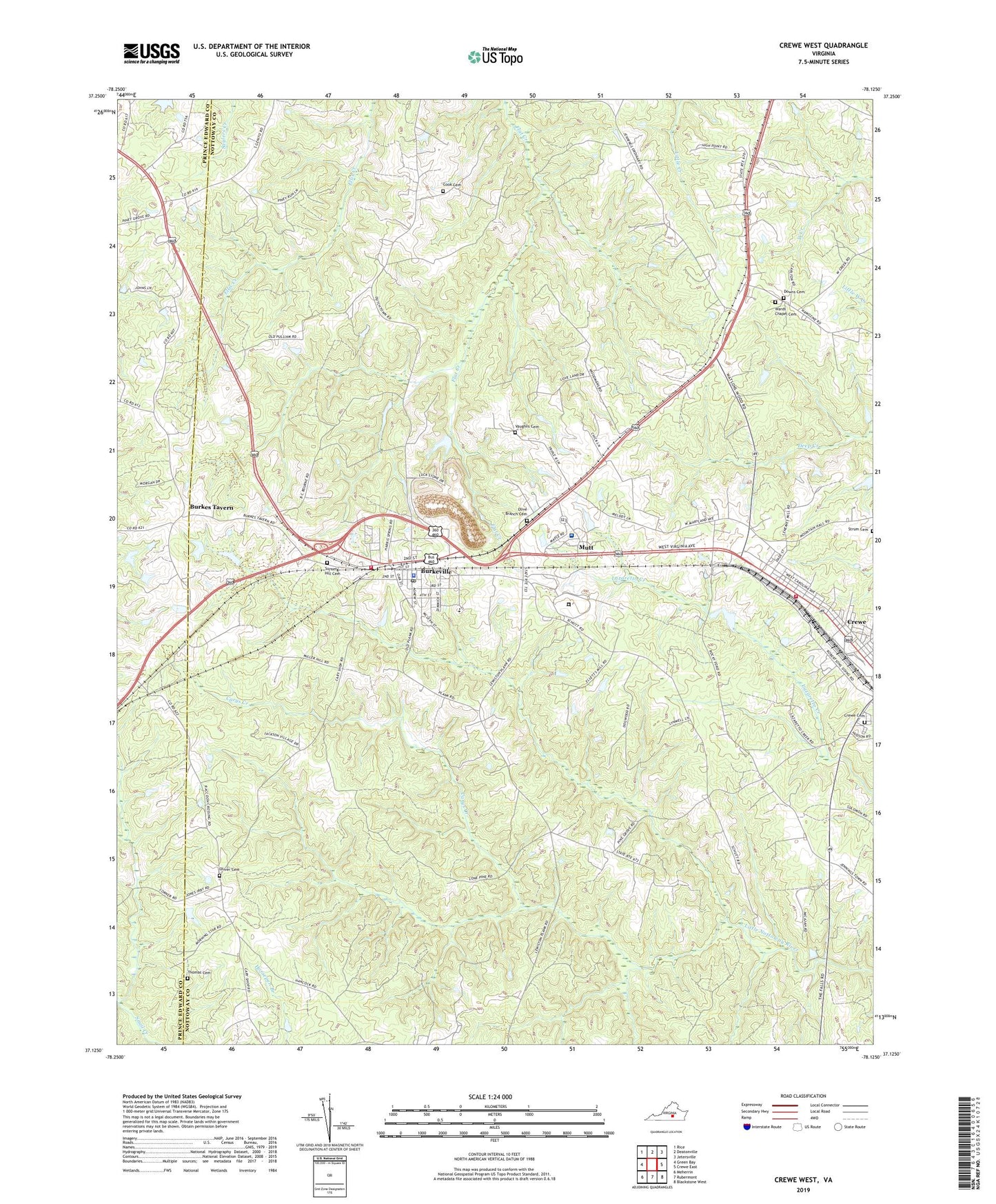
2019 topographic map quadrangle Crewe West in the state of Virginia. Scale: 1:24000. Based on the newly updated USGS 7.5' US Topo map series, this map is in the following counties: Nottoway, Prince Edward. The map contains contour data, water features, and other items you are used to seeing on USGS maps, but also has updated roads and other features. This is the next generation of topographic maps. Printed on high-quality waterproof paper with UV fade-resistant inks.
Quads adjacent to this one:
West: Green Bay
Northwest: Rice
North: Deatonville
Northeast: Jetersville
East: Crewe East
Southeast: Blackstone West
South: Rubermont
Southwest: Meherrin
Contains the following named places: Baker Memorial Church, Burkes Tavern, Burkeville, Burkeville Elementary School, Burkeville Police Department, Burkeville Post Office, Burkeville Volunteer Fire and Rescue Department, Carys Creek, Cook Cemetery, Crewe Cemetery, Crewe Volunteer Fire Department, District 1, Downs Cemetery, Engleside Elementary School, First Nottoway Church, Hickory Grove Church, Hickory Grove School, Jennings Ordinary, Lush Dam, Macedonia Church, Mallorys Creek, Morning Star Church, Mutt, Nottaway Correctional Center, Olive Branch Cemetery, Oliver Cemetery, Oliveville, Piedmont Geriatric Hospital, Piedmont State Hospital Dam, Sunset Hill Cemetery, Thomas Cemetery, Town of Burkeville, Town of Crewe, Union Church, Vaughns Cemetery, Wards Chapel, Wards Chapel Cemetery, Watkins School, Wesleyan Church, WSVS-AM (Crewe), WSVS-FM (Crewe), Yielding Zion Church, ZIP Code: 23922