MyTopo
East of Reedville Virginia US Topo Map
Couldn't load pickup availability
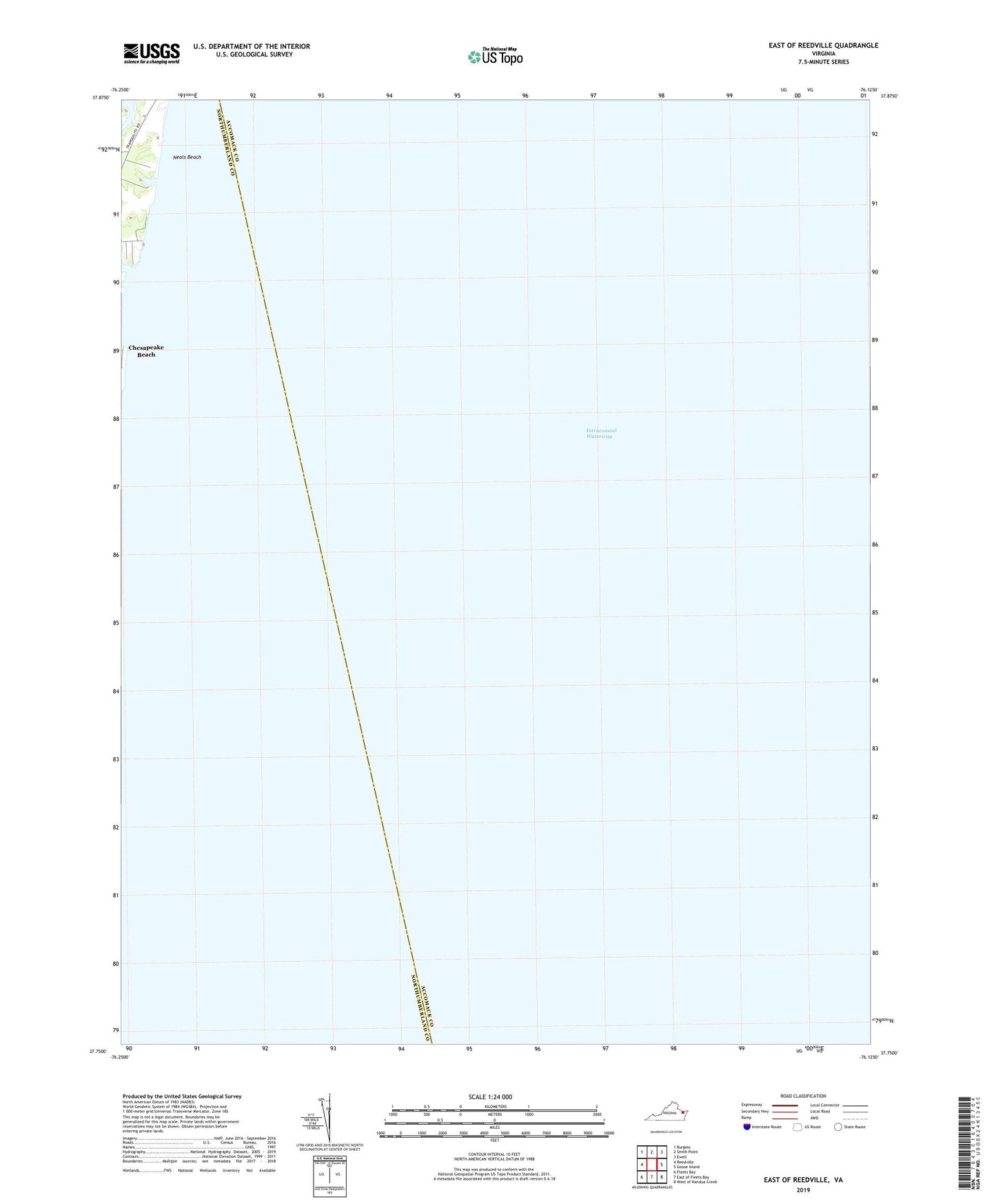
2022 topographic map quadrangle East of Reedville in the state of Virginia. Scale: 1:24000. Based on the newly updated USGS 7.5' US Topo map series, this map is in the following counties: Northumberland, Accomack. The map contains contour data, water features, and other items you are used to seeing on USGS maps, but also has updated roads and other features. This is the next generation of topographic maps. Printed on high-quality waterproof paper with UV fade-resistant inks.
Quads adjacent to this one:
West: Reedville
Northwest: Burgess
North: Smith Point
Northeast: Ewell
East: Goose Island
Southeast: West of Nandua Creek
South: East of Fleets Bay
Southwest: Fleets Bay
This map covers the same area as the classic USGS quad with code o37076g2.
Contains the following named places: Neals Beach