MyTopo
Elliotts Creek Virginia US Topo Map
Couldn't load pickup availability
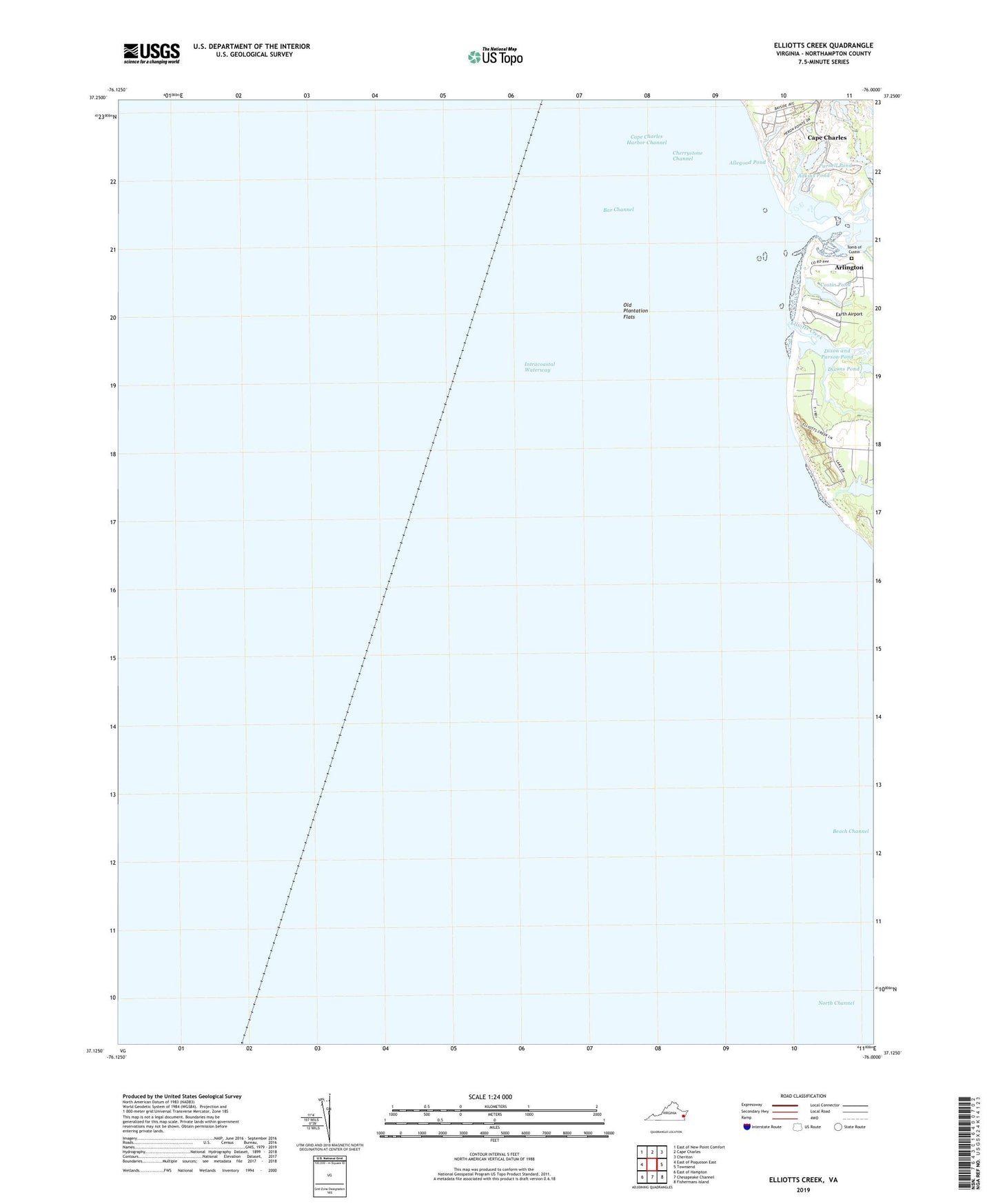
2022 topographic map quadrangle Elliotts Creek in the state of Virginia. Scale: 1:24000. Based on the newly updated USGS 7.5' US Topo map series, this map is in the following counties: Northampton. The map contains contour data, water features, and other items you are used to seeing on USGS maps, but also has updated roads and other features. This is the next generation of topographic maps. Printed on high-quality waterproof paper with UV fade-resistant inks.
Quads adjacent to this one:
West: East of Poquoson East
Northwest: East of New Point Comfort
North: Cape Charles
Northeast: Cheriton
East: Townsend
Southeast: Fishermans Island
South: Chesapeake Channel
Southwest: East of Hampton
This map covers the same area as the classic USGS quad with code o37076b1.
Contains the following named places: Allegood Pond, Arlington, Bar Channel, Bay Ridge, Cherrystone Channel, Costin Pond, Dixon and Parson Dam, Dixon and Parson Pond, Earth Airport, Elliotts Creek, John Custis Tomb, Old Plantation Creek, Old Plantation Flats, Pond Drain, Virginias Chesapeake Shores