MyTopo
Chesapeake Channel Virginia US Topo Map
Couldn't load pickup availability
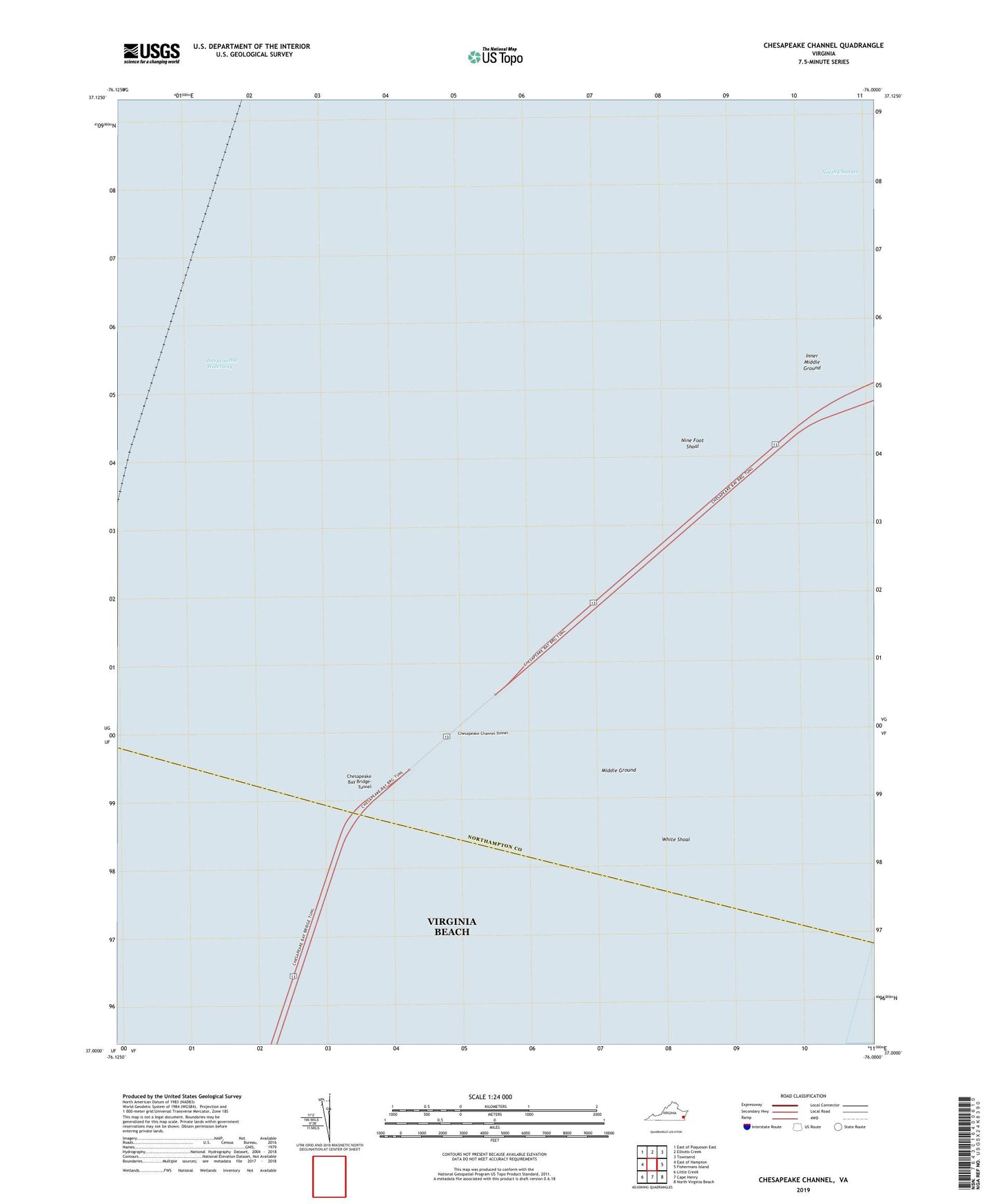
2022 topographic map quadrangle Chesapeake Channel in the state of Virginia. Scale: 1:24000. Based on the newly updated USGS 7.5' US Topo map series, this map is in the following counties: Northampton, Virginia Beach (city). The map contains contour data, water features, and other items you are used to seeing on USGS maps, but also has updated roads and other features. This is the next generation of topographic maps. Printed on high-quality waterproof paper with UV fade-resistant inks.
Quads adjacent to this one:
West: East of Hampton
Northwest: East of Poquoson East
North: Elliotts Creek
Northeast: Townsend
East: Fishermans Island
Southeast: North Virginia Beach
South: Cape Henry
Southwest: Little Creek
Contains the following named places: Chesapeake Bay Bridge-Tunnel, Chesapeake Channel Tunnel, Inner Middle Ground, Middle Ground, Nine Foot Shoal, North Channel, White Shoal