MyTopo
Whiteville Virginia US Topo Map
Couldn't load pickup availability
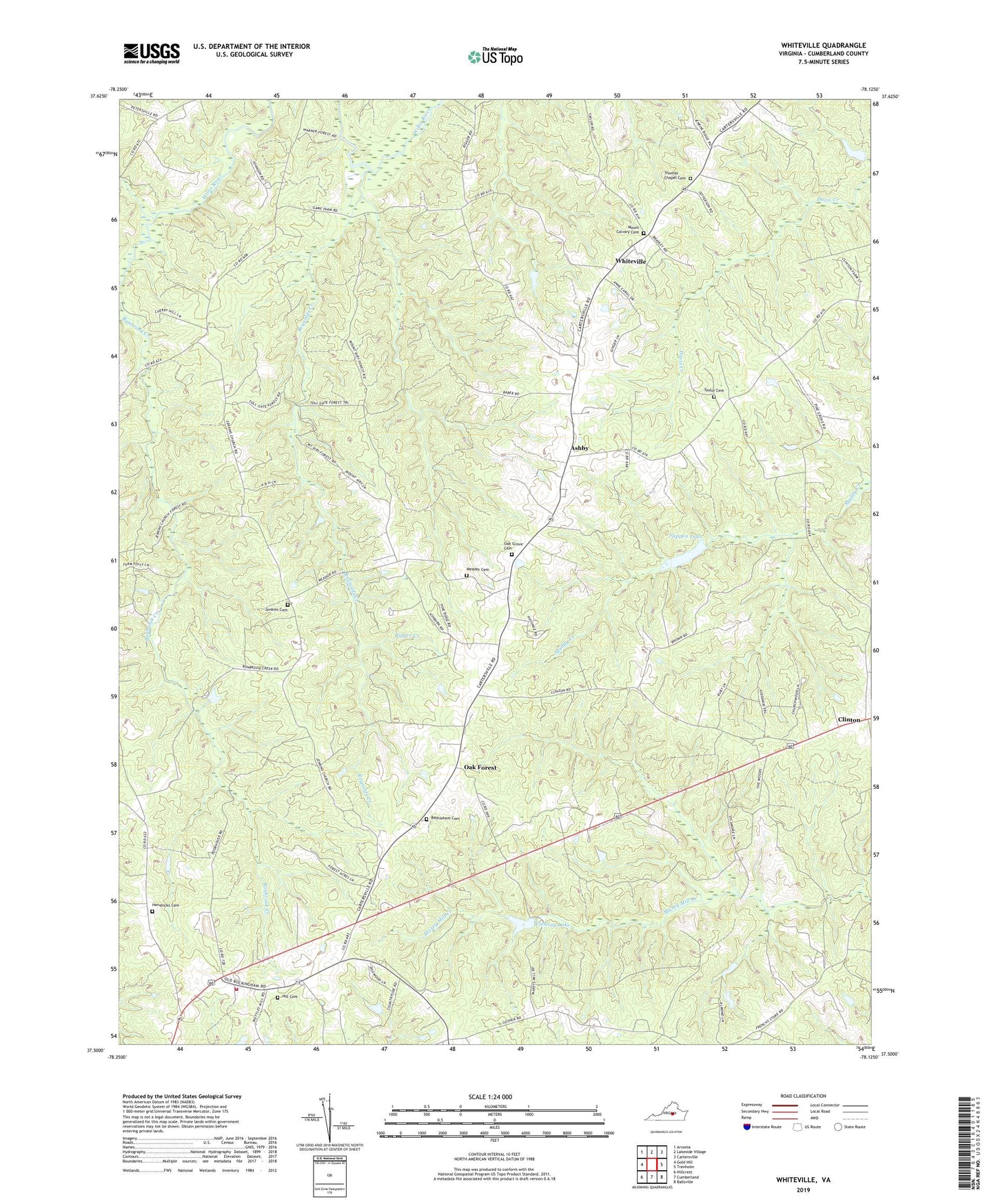
2022 topographic map quadrangle Whiteville in the state of Virginia. Scale: 1:24000. Based on the newly updated USGS 7.5' US Topo map series, this map is in the following counties: Cumberland. The map contains contour data, water features, and other items you are used to seeing on USGS maps, but also has updated roads and other features. This is the next generation of topographic maps. Printed on high-quality waterproof paper with UV fade-resistant inks.
Quads adjacent to this one:
West: Gold Hill
Northwest: Arvonia
North: Lakeside Village
Northeast: Cartersville
East: Trenholm
Southeast: Ballsville
South: Cumberland
Southwest: Hillcrest
This map covers the same area as the classic USGS quad with code o37078e2.
Contains the following named places: Ashby, Barrett Dam, Bethlehem Baptist Church, Bethlehem Cemetery, Bigger Creek, Bonbrook Lake Dam, Bonbrook School, Clinton, Cumberland County, Cumberland Volunteer Fire Department, District 2, Fleming Dam, Fleming Lake, Flippen Dam, Flippen Millpond, Flippens Mill, Grays Siding, Hendricks Cemetery, Hill Cemetery, Jenkins Cemetery, Jenkins Church, L B Atkins Dam, Meador Cemetery, Mount Calvary Cemetery, Mount Calvary Church, Oak Forest, Oak Grove Baptist Church, Oak Grove Cemetery, Pine Grove School, Reynolds Creek, Rising Zion Church, Sanderson Dam, Sugar Fork School, Tally, Taylor Cemetery, Thomas Chapel, Thomas Chapel Cemetery, Turkey Cock School, Whiteville