MyTopo
Lakeside Village Virginia US Topo Map
Couldn't load pickup availability
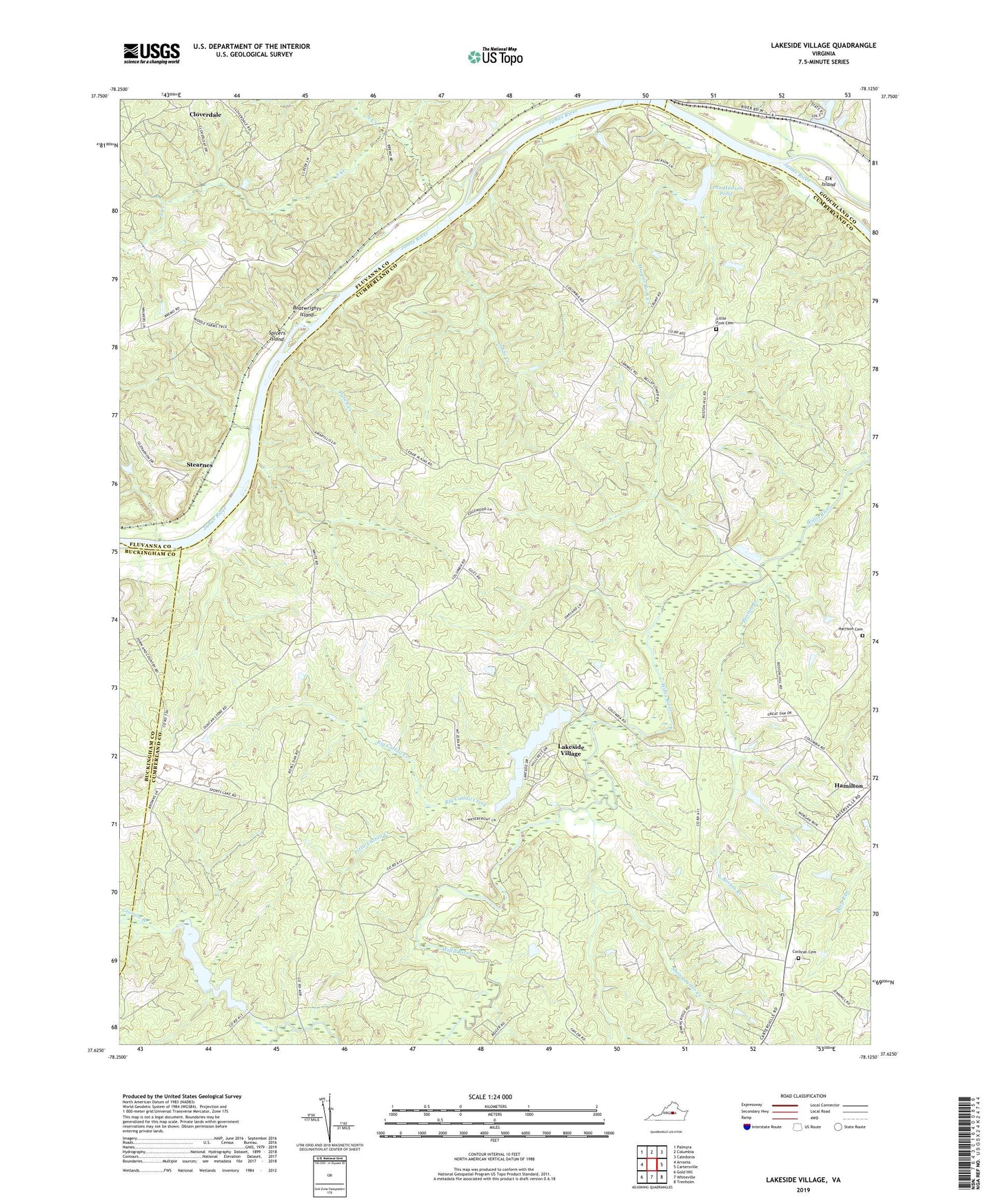
2022 topographic map quadrangle Lakeside Village in the state of Virginia. Scale: 1:24000. Based on the newly updated USGS 7.5' US Topo map series, this map is in the following counties: Cumberland, Fluvanna, Goochland, Buckingham. The map contains contour data, water features, and other items you are used to seeing on USGS maps, but also has updated roads and other features. This is the next generation of topographic maps. Printed on high-quality waterproof paper with UV fade-resistant inks.
Quads adjacent to this one:
West: Arvonia
Northwest: Palmyra
North: Columbia
Northeast: Caledonia
East: Cartersville
Southeast: Trenholm
South: Whiteville
Southwest: Gold Hill
This map covers the same area as the classic USGS quad with code o37078f2.
Contains the following named places: Big Cattail Creek, Boatwrights Island, Boston Branch, Boswell, Bush Park, Cartersville Volunteer Rescue Squad, Cloverdale Baptist Church, Cobbs Creek, Cochran Cemetery, Cremona, District 1, Duncans Store, Flat Rock School, Fork of Willis Church, Georgia Branch, Hamilton High School, Harrison Cemetery, Hooper Rock Creek, James River Batteau Festival Trail, Lakeside Village, Leon Hanson Dam, Leon Hanson Pond, Little Cattail Creek, Little Fork Cemetery, Little Fork Church, Mount Horeb Church, Mullins Botton School, North Creek, Oakwood Church, Pleasant View Church, Punch Creek, Randolph Creek, Robertson Dam, Snowquarter Creek, South Creek, Spicers Island, Sports Dam, Sports Lake, Stearnes, Trenton Mills, Trice Dam, Trice Lake, Trices Mill, ZIP Code: 23027