
MyTopo
Meherrin Virginia US Topo Map
Couldn't load pickup availability
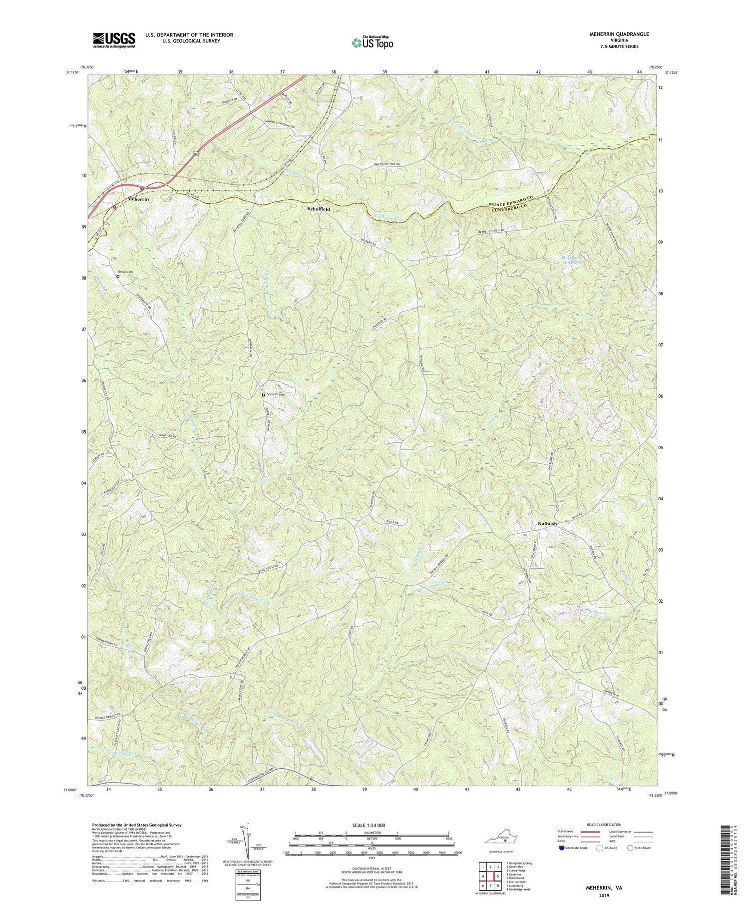
2019 topographic map quadrangle Meherrin in the state of Virginia. Scale: 1:24000. Based on the newly updated USGS 7.5' US Topo map series, this map is in the following counties: Lunenburg, Prince Edward. The map contains contour data, water features, and other items you are used to seeing on USGS maps, but also has updated roads and other features. This is the next generation of topographic maps. Printed on high-quality waterproof paper with UV fade-resistant inks.
Quads adjacent to this one:
West: Keysville
Northwest: Hampden Sydney
North: Green Bay
Northeast: Crewe West
East: Rubermont
Southeast: Kenbridge West
South: Lunenburg
Southwest: Fort Mitchell
Contains the following named places: Arvins Store, Aryins Store, Bethel Church, Blakenship Mill Pond, Bragg Dam, Bruce Cemetery, Brydies Store, Concord Church, Double Bridges, Laurel Hill, Ledbetter Church, Ledbetter Creek, Levi Church, Levi School, Little Ledbetter Creek, Little Tussekiah Creek, Macedonia Church, Meherrin, Meherrin Post Office, Meherrin River District, Meherrin Volunteer Fire / Rescue, Meherrin Volunteer Fire and Rescue, Moores Corner, Mount Moriah Church, North Fork Nottoway River, Nutbush, Nutbush School, Pleasant Grove, Saint Matthews Church, Saint Pauls Church, Scholfield, Sewish Creek, Shady Grove Church, Spencer Cemetery, Spring Creek, Springfield Church, Still Branch, Tussekiah Creek


