MyTopo
Kenbridge West Virginia US Topo Map
Couldn't load pickup availability
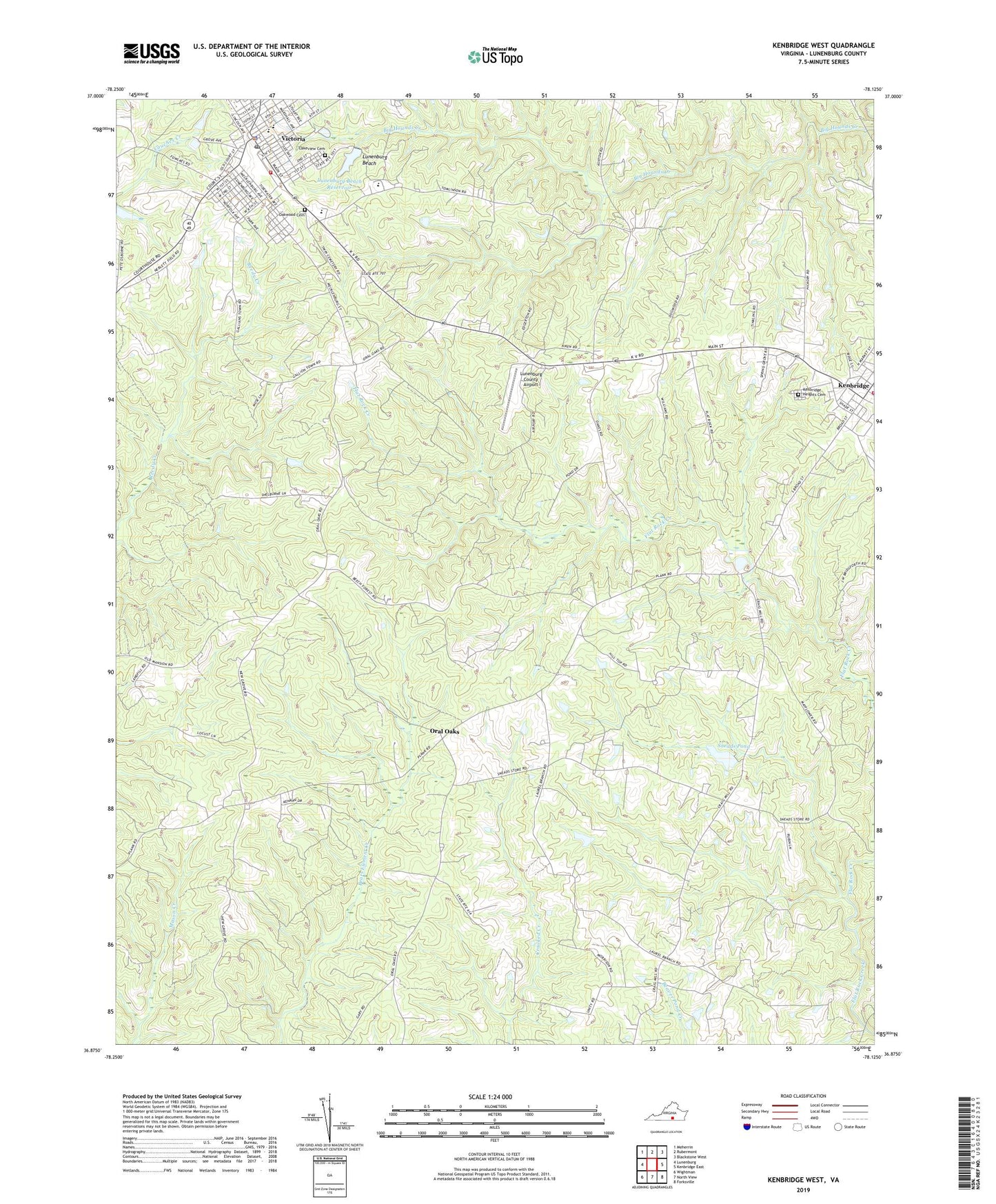
2022 topographic map quadrangle Kenbridge West in the state of Virginia. Scale: 1:24000. Based on the newly updated USGS 7.5' US Topo map series, this map is in the following counties: Lunenburg. The map contains contour data, water features, and other items you are used to seeing on USGS maps, but also has updated roads and other features. This is the next generation of topographic maps. Printed on high-quality waterproof paper with UV fade-resistant inks.
Quads adjacent to this one:
West: Lunenburg
Northwest: Meherrin
North: Rubermont
Northeast: Blackstone West
East: Kenbridge East
Southeast: Forksville
South: North View
Southwest: Wightman
This map covers the same area as the classic USGS quad with code o36078h2.
Contains the following named places: Beech Forest, Browns Store District, Central High School, Church of Christ, Church of the Nazarene, First Baptist Church, Gilfield Reformed Zion Union Apostolic Church, Gilfield Zion United Methodist Church, Good Hope Church, Kenbridge Dam, Kenbridge Heights Cemetery, Kenbridge Volunteer Fire Department, Lakeview Cemetery, Lunenburg Beach, Lunenburg Beach Dam, Lunenburg Beach Reservoir, Lunenburg County, Lunenburg County Airport, Lunenburg High School, Lunenburg Middle School, Marshall Dam, Mayflower Church, Mount Bethel Church, Non Intervention, Oakwood Cemetery, Oral Oaks, Sneads Corner, Sneads Dam, Sneads Pond, Town of Kenbridge, Town of Victoria, Unity Church, Unity School, Victoria, Victoria Baptist Church, Victoria Elementary School, Victoria Fire and Rescue, Victoria Fire Department, Victoria High School, Victoria Methodist Church, Victoria Police Department, Victoria Post Office, Victoria Presbyterian Church, West Hill Church, ZIP Code: 23944