MyTopo
Mount Sidney Virginia US Topo Map
Couldn't load pickup availability
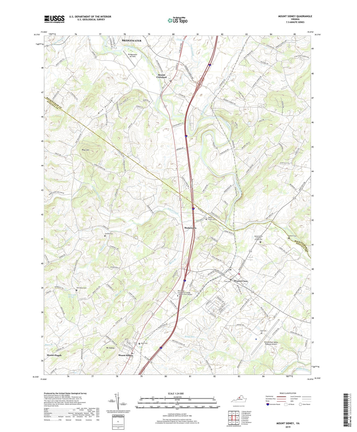
2022 topographic map quadrangle Mount Sidney in the state of Virginia. Scale: 1:24000. Based on the newly updated USGS 7.5' US Topo map series, this map is in the following counties: Augusta, Rockingham. The map contains contour data, water features, and other items you are used to seeing on USGS maps, but also has updated roads and other features. This is the next generation of topographic maps. Printed on high-quality waterproof paper with UV fade-resistant inks.
Quads adjacent to this one:
West: Parnassus
Northwest: Briery Branch
North: Bridgewater
Northeast: Harrisonburg
East: Grottoes
Southeast: Crimora
South: Fort Defiance
Southwest: Staunton
This map covers the same area as the classic USGS quad with code o38078c8.
Contains the following named places: Augusta County Sheriff's Office Weyers Cave, Bells Cemetery, Bethany Church, Blacks Run, Blue Ridge Community College, Bridgewater Air Park, Burketown, Byers Branch, Cash Cemetery, Click Cemetery, Cooks Creek, Cornerstone Christian School, Faith Bible Christian Academy, Friedens, Friedens Church, Goose Creek, Landes Cemetery, Long Glade Creek, Melanchthon Chapel, Melanchthon Lutheran Chapel Cemetery, Mooreland Farms, Mount Crawford, Mount Crawford Post Office, Mount Sidney, Mount Sidney Census Designated Place, Mount Sidney Post Office, Mount Sidney School, Mount Sidney United Methodist Church, Mulberry Hills Farm, Naked Creek, Naked Creek Cemetery, Naked Creek Church, North Fork Naked Creek, North River, Old Salem Lutheran Church Cemetery, Pleasant Grove Church, Pleasant Run, Pleasant Valley Church, Rockland Mill Church, Saint Michaels Church, Salem Church, Seawright Springs, Sellers Cemetery, Shenandoah Valley Regional Airport, Stonewall, Summit Church, Town of Mount Crawford, Union Chapel, Weyers Cave, Weyers Cave Census Designated Place, Weyers Cave Elementary School, Weyers Cave Post Office, Weyers Cave Volunteer Fire Department Company 5, Whitesels Church, Wise Hill, Wise Hollow, ZIP Codes: 22841, 24467, 24486


