
MyTopo
Toano Virginia US Topo Map
Couldn't load pickup availability
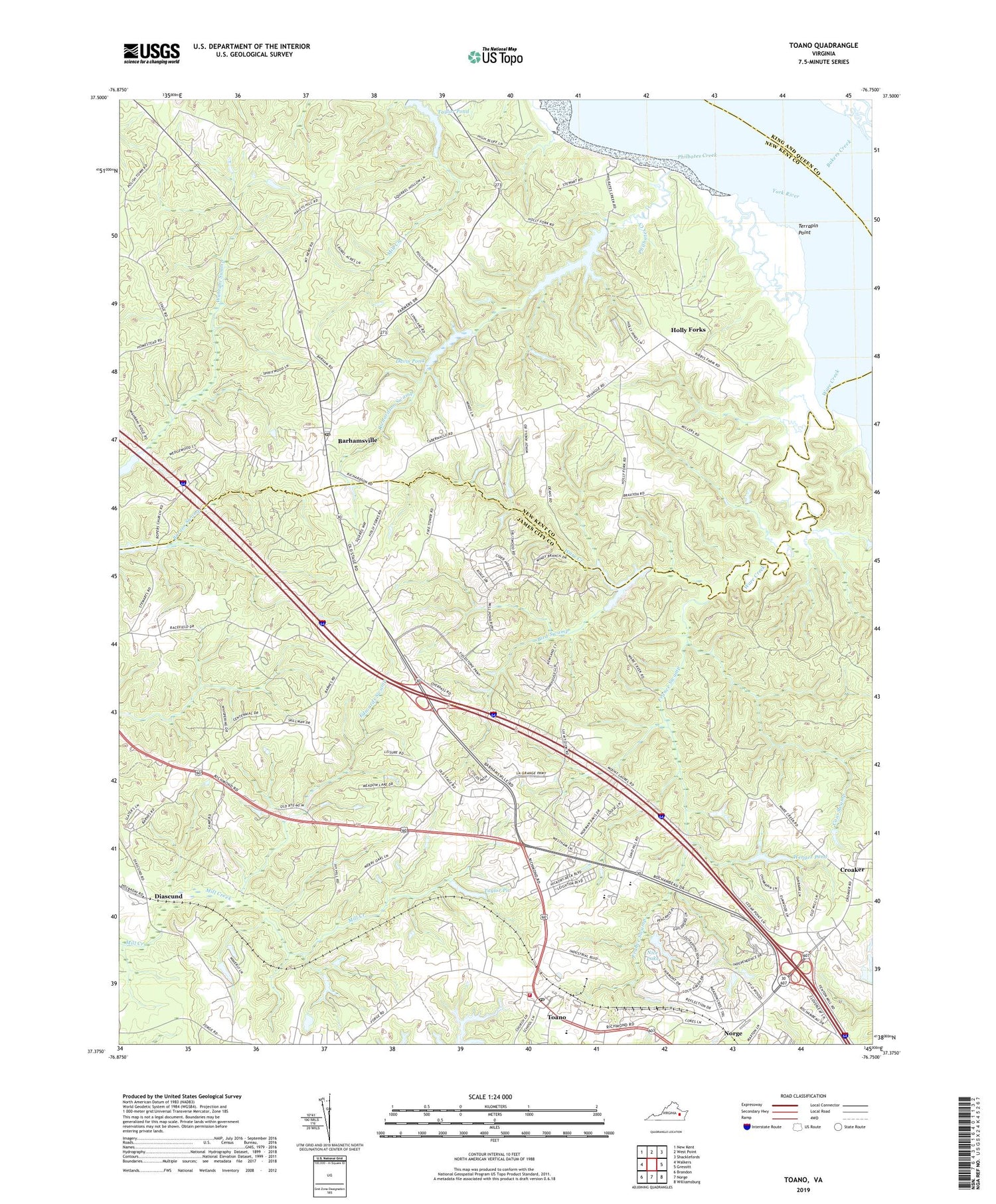
2019 topographic map quadrangle Toano in the state of Virginia. Scale: 1:24000. Based on the newly updated USGS 7.5' US Topo map series, this map is in the following counties: James City, New Kent, King and Queen. The map contains contour data, water features, and other items you are used to seeing on USGS maps, but also has updated roads and other features. This is the next generation of topographic maps. Printed on high-quality waterproof paper with UV fade-resistant inks.
Quads adjacent to this one:
West: Walkers
Northwest: New Kent
North: West Point
Northeast: Shacklefords
East: Gressitt
Southeast: Williamsburg
South: Norge
Southwest: Brandon
Contains the following named places: Andersons Corner, Bakers Creek, Barhamsville, Barhamsville Post Office, Bird Swamp, Bock, Branch Siding, Cow Swamp, Croaker, Davis Pond, Diascund, Edwards Swamp, France Swamp, Goddins Dam, Goddins Pond, Henrico County Regional Jail East, Hickory Neck Church, Holly Forks, James City County Fire Department / Ambulance Station 1, James City County Library, James City Lookout Tower, Kings Corner, Mount Nebo Church, Mount Olive Church, Mount Vernon Church, Nice Dam, Nice Lake, Norfolk Camp, Olive Branch Church, One Eye School, Our Saviours Parish House, Perrys Dam, Philbates Creek, Richardson Millpond, Richardson Millpond Dam, Richardson Swamp, Saint Johns Church, Shiloh Church, State Prison Camp Number 16, Stonehouse District, Stonehouse Elementary School, Tabernacle Church, Taylor Pit, Taylor Pit Dam, Taylor Pond, Terrapin Point, Toano, Toano Dam, Toano Middle School, Toano Post Office, Tradition at Stonehouse Golf Club, Ware Creek, Weir Magisterial District, Wenger Dam, Wenger Pond, WPTG-FM (West Point), ZIP Codes: 23011, 23168


