MyTopo
New Kent Virginia US Topo Map
Couldn't load pickup availability
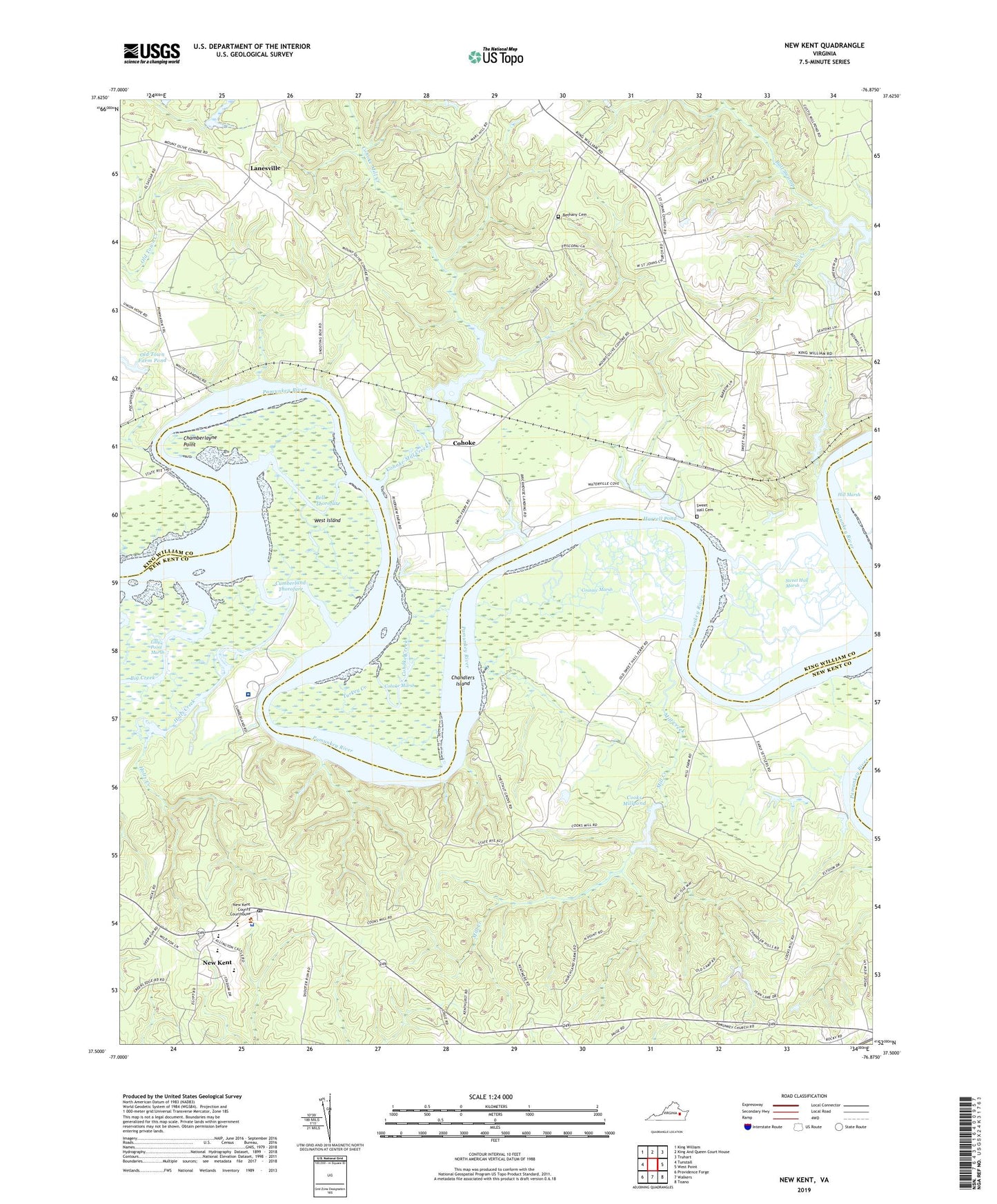
2022 topographic map quadrangle New Kent in the state of Virginia. Scale: 1:24000. Based on the newly updated USGS 7.5' US Topo map series, this map is in the following counties: King William, New Kent. The map contains contour data, water features, and other items you are used to seeing on USGS maps, but also has updated roads and other features. This is the next generation of topographic maps. Printed on high-quality waterproof paper with UV fade-resistant inks.
Quads adjacent to this one:
West: Tunstall
Northwest: King William
North: King And Queen Court House
Northeast: Truhart
East: West Point
Southeast: Toano
South: Walkers
Southwest: Providence Forge
This map covers the same area as the classic USGS quad with code o37076e8.
Contains the following named places: Angelview Church, Bell Thorofare, Bethany Cemetery, Bethany Church, Big Creek, Brickhouse Landing, Bull Swamp, Chamberlayne Point, Chandlers Island, Chestnut Grove Landing, Cohoke, Cohoke Creek, Cohoke Marsh, Cohoke Mill Creek, Cohoke Millpond, Cook Landing, Cooks Mill Dam, Cooks Millpond, Corinth Baptist Church, Cousiac Marsh, Cumberland Academy, Cumberland Hospital for Children and Adolescents, Cumberland Landing, Cumberland Thorofare, Cumnberland, District 3, Fern Dam, Fern Lake, Gordon Landing, Harrell Dam, Harrell Pond, Holts Creek, Johnson Landing, Johnsons Dam, Lanesville, Lester Manor, Lilly Point Marsh, Mill Creek, Morgan Landing, New Elam Church, New Kent, New Kent Census Designated Place, New Kent Chapel, New Kent County, New Kent County Sheriff's Office, New Kent Department of Fire Rescue and Emergency Services, New Kent Elementary School, New Kent High School, New Kent Middle School, New Kent Post Office, Old Town Farm Dam, Pamunkey Church, Reed Memorial Church, Riverview Landing, Ruffins Ferry, Saint Johns Church, Second Elam Church, Sweet Hall, Sweet Hall Cemetery, Sweet Hall Landing, Sweet Hall Marsh, Turkey Creek, West Island, West Point District, White Landing, White Oak Landing, Williams Creek, ZIP Code: 23181


