MyTopo
Wightman Virginia US Topo Map
Couldn't load pickup availability
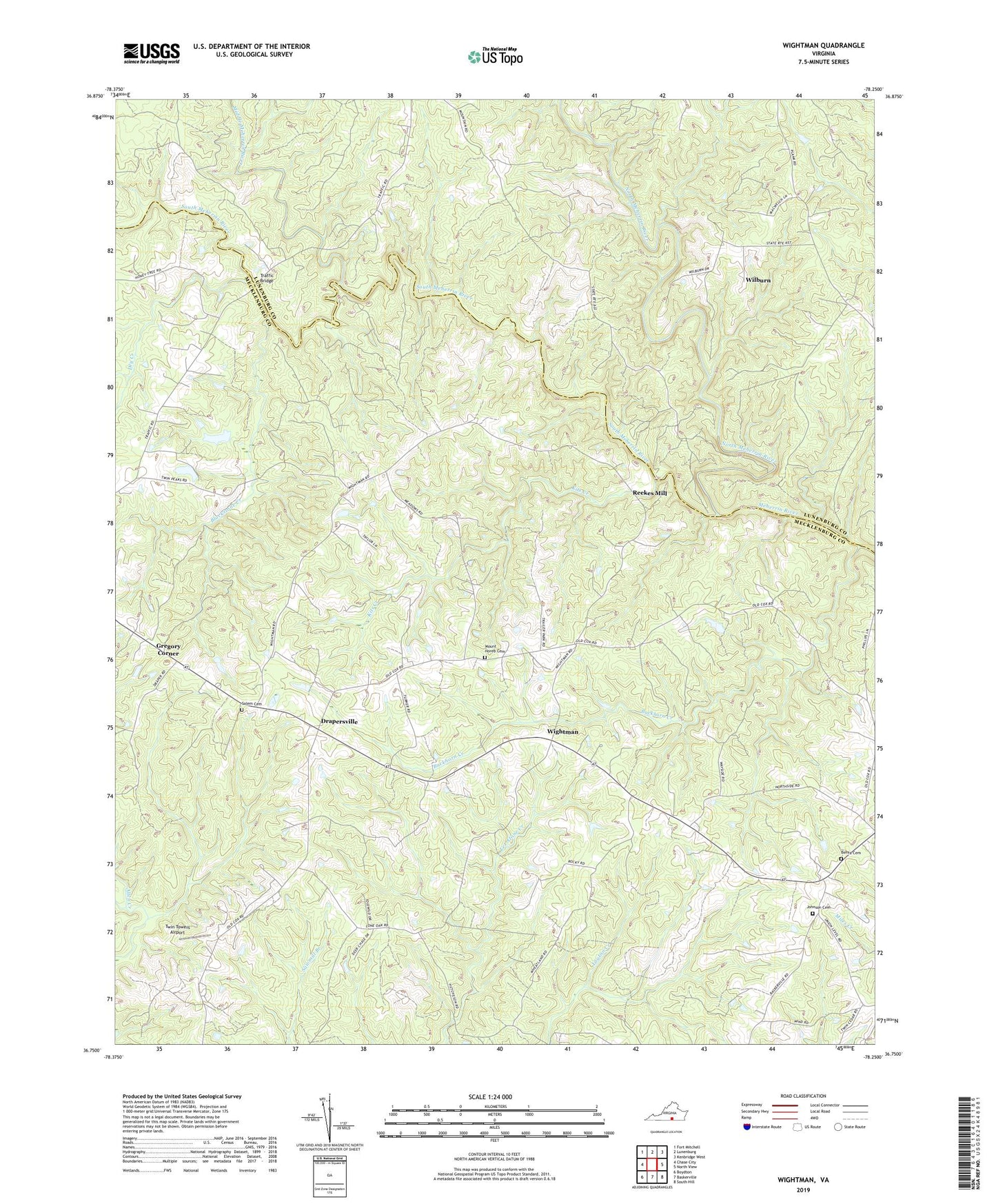
2019 topographic map quadrangle Wightman in the state of Virginia. Scale: 1:24000. Based on the newly updated USGS 7.5' US Topo map series, this map is in the following counties: Mecklenburg, Lunenburg. The map contains contour data, water features, and other items you are used to seeing on USGS maps, but also has updated roads and other features. This is the next generation of topographic maps. Printed on high-quality waterproof paper with UV fade-resistant inks.
Quads adjacent to this one:
West: Chase City
Northwest: Fort Mitchell
North: Lunenburg
Northeast: Kenbridge West
East: North View
Southeast: South Hill
South: Baskerville
Southwest: Boydton
Contains the following named places: Berea Cemetery, Berea Church, Blackstone Creek, Buckhorn Creek, Church Camp, Cox Corner, District 7, Drapersville, Dry Creek, Gregory Corner, Johnson Cemetery, Johnson Corner, Kits Creek, Lone Oak Church, Middle Meherrin River, Mount Horeb Cemetery, Mount Horeb Church, New Galilee Church, North Meherrin River, Pettys Corner, Reekes Mill, Salem Cemetery, Salem Church, South Meherrin River, Traffic Bridge, Twin Towers Airport, Union Church, WFXQ-FM (Chase City), Wightman, Wightman School, Wilburn, William Grove Church, Yatesville