MyTopo
Yale Virginia US Topo Map
Couldn't load pickup availability
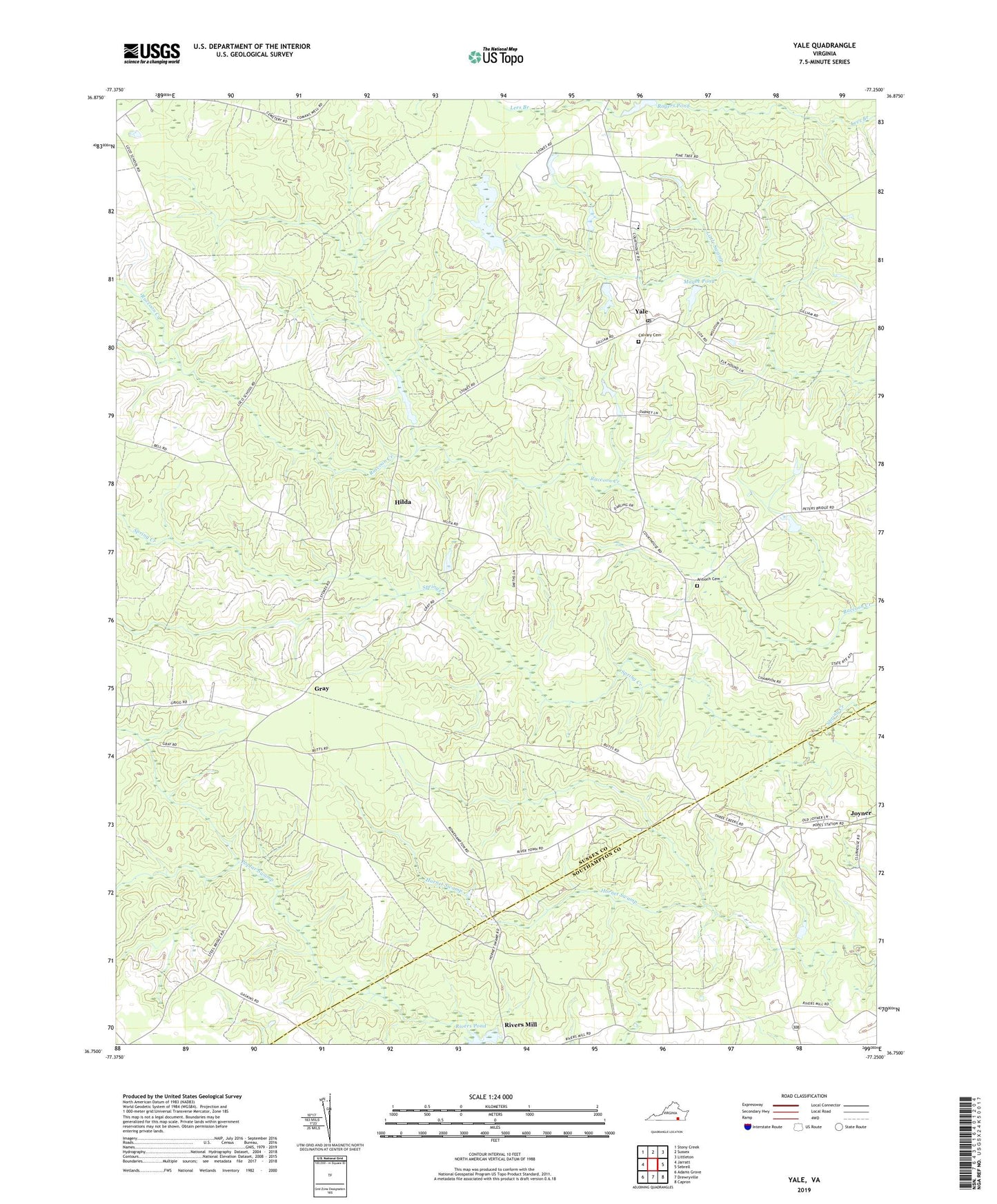
2019 topographic map quadrangle Yale in the state of Virginia. Scale: 1:24000. Based on the newly updated USGS 7.5' US Topo map series, this map is in the following counties: Sussex, Southampton. The map contains contour data, water features, and other items you are used to seeing on USGS maps, but also has updated roads and other features. This is the next generation of topographic maps. Printed on high-quality waterproof paper with UV fade-resistant inks.
Quads adjacent to this one:
West: Jarratt
Northwest: Stony Creek
North: Sussex
Northeast: Littleton
East: Sebrell
Southeast: Capron
South: Drewryville
Southwest: Adams Grove
Contains the following named places: Antioch Cemetery, Calvary Cemetery, Calvary Church, Center Star Church, Gray, Hilda, Joyner, Magee Dam, Magee Pond, Rising Star Church, Rivers Dam, Rivers Mill, Rivers Pond, Rivers School, Rogers Dam, Rogers Pond, Russian Church, Yale, Yale Post Office, Yale School, Yale Seventh Day Adventist School, ZIP Code: 23897