MyTopo
Littleton Virginia US Topo Map
Couldn't load pickup availability
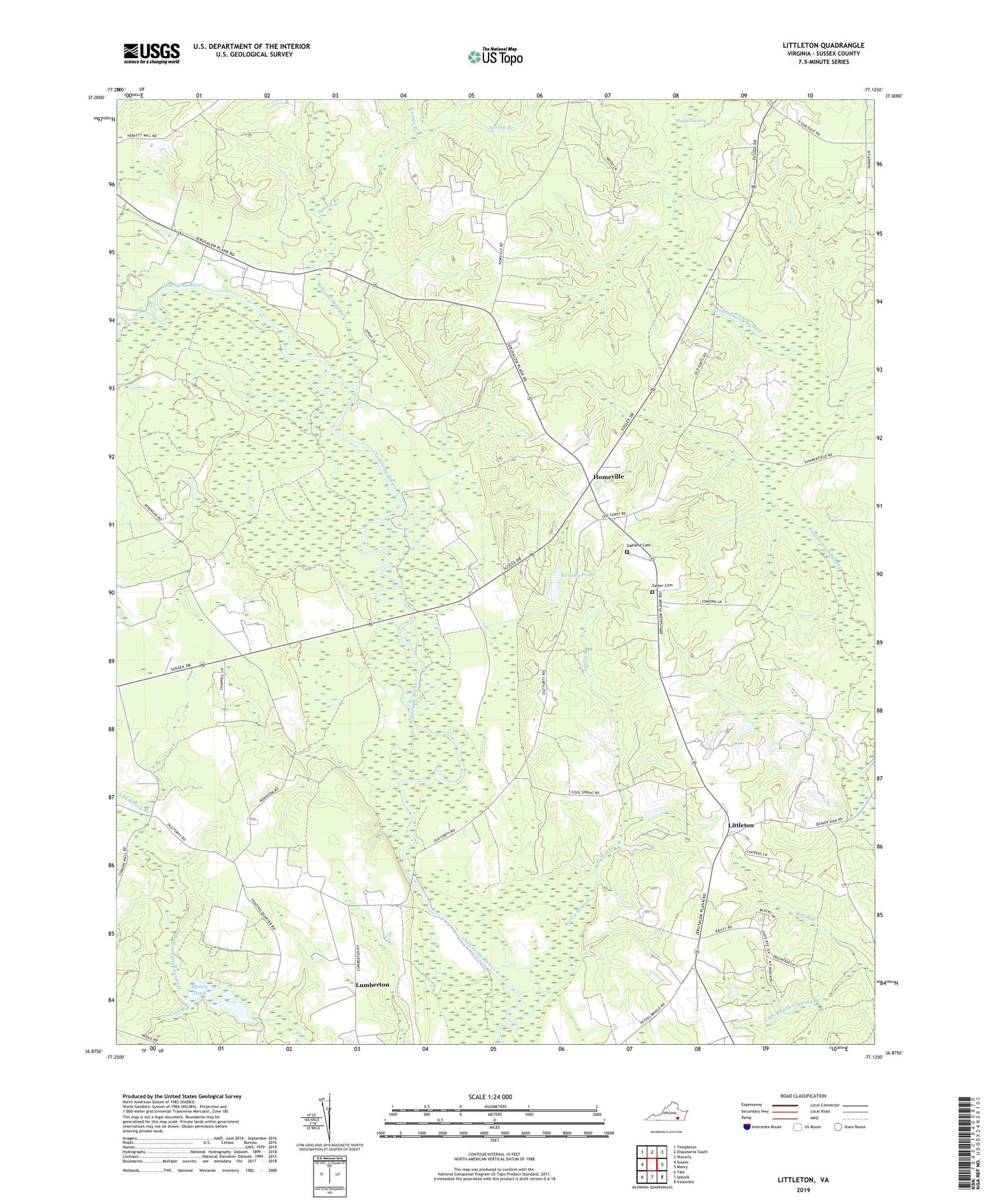
2022 topographic map quadrangle Littleton in the state of Virginia. Scale: 1:24000. Based on the newly updated USGS 7.5' US Topo map series, this map is in the following counties: Sussex. The map contains contour data, water features, and other items you are used to seeing on USGS maps, but also has updated roads and other features. This is the next generation of topographic maps. Printed on high-quality waterproof paper with UV fade-resistant inks.
Quads adjacent to this one:
West: Sussex
Northwest: Templeton
North: Disputanta South
Northeast: Waverly
East: Manry
Southeast: Vicksville
South: Sebrell
Southwest: Yale
This map covers the same area as the classic USGS quad with code o36077h2.
Contains the following named places: Allens Bridge, Anderson Branch, Austin Branch, Barretts Store, Burt, Cape Charles Spring Branch, Church, Easter Cemetery, Easter Church, Homeville, Homeville School, Honey Dam, Honey Pond, Jennies Branch, Lees Branch, Littleton, Littleton School, Lumberton, Mussel Swamp, Nebletts Mill Run, Newville District, Oak Grove Church, Oakland Cemetery, Patrick Henry Radio Range Station, Plank Road Church, Plank Road School, Renney Dam, Renney Pond, Spring Branch, Underhill Branch