MyTopo
Arden Washington US Topo Map
Couldn't load pickup availability
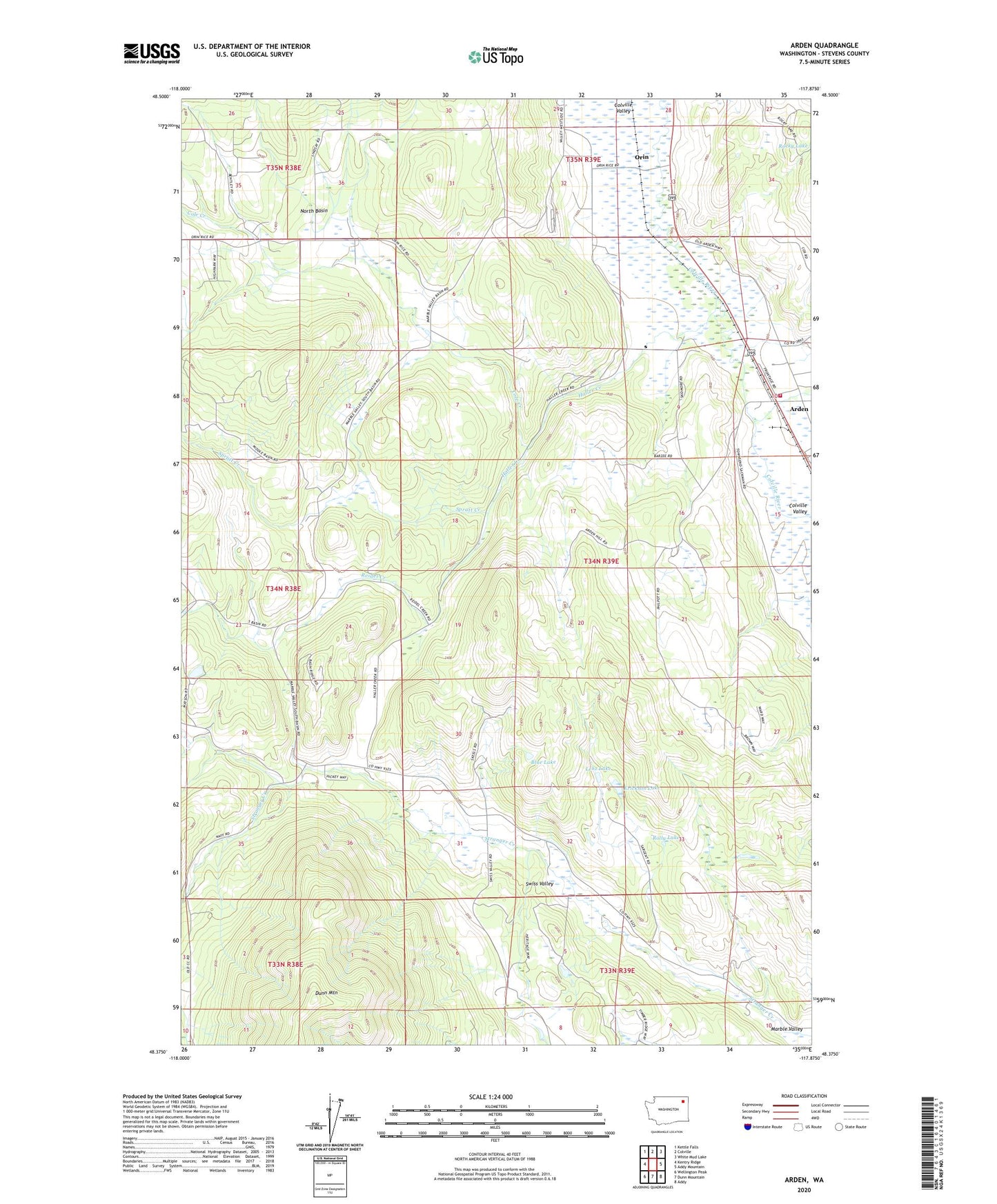
2023 topographic map quadrangle Arden in the state of Washington. Scale: 1:24000. Based on the newly updated USGS 7.5' US Topo map series, this map is in the following counties: Stevens. The map contains contour data, water features, and other items you are used to seeing on USGS maps, but also has updated roads and other features. This is the next generation of topographic maps. Printed on high-quality waterproof paper with UV fade-resistant inks.
Quads adjacent to this one:
West: Kentry Ridge
Northwest: Kettle Falls
North: Colville
Northeast: White Mud Lake
East: Addy Mountain
Southeast: Addy
South: Dunn Mountain
Southwest: Wellington Peak
This map covers the same area as the classic USGS quad with code o48117d8.
Contains the following named places: Arden, Blue Lake, Cole Creek, Cole Creek Picnic Area, Erickson Lake, Faith Baptist Church, Haller Creek, Ham Mine, Lenz Lake, Little Pend Oreille River, Marble Valley, North Basin, Orin, Panorama Mobile Home Park, Reidel Creek, Rolly Lake, Spratt Creek, Stevens County Fire District 7 Station 71 Arden Fire Department