MyTopo
Bandera Washington US Topo Map
Couldn't load pickup availability
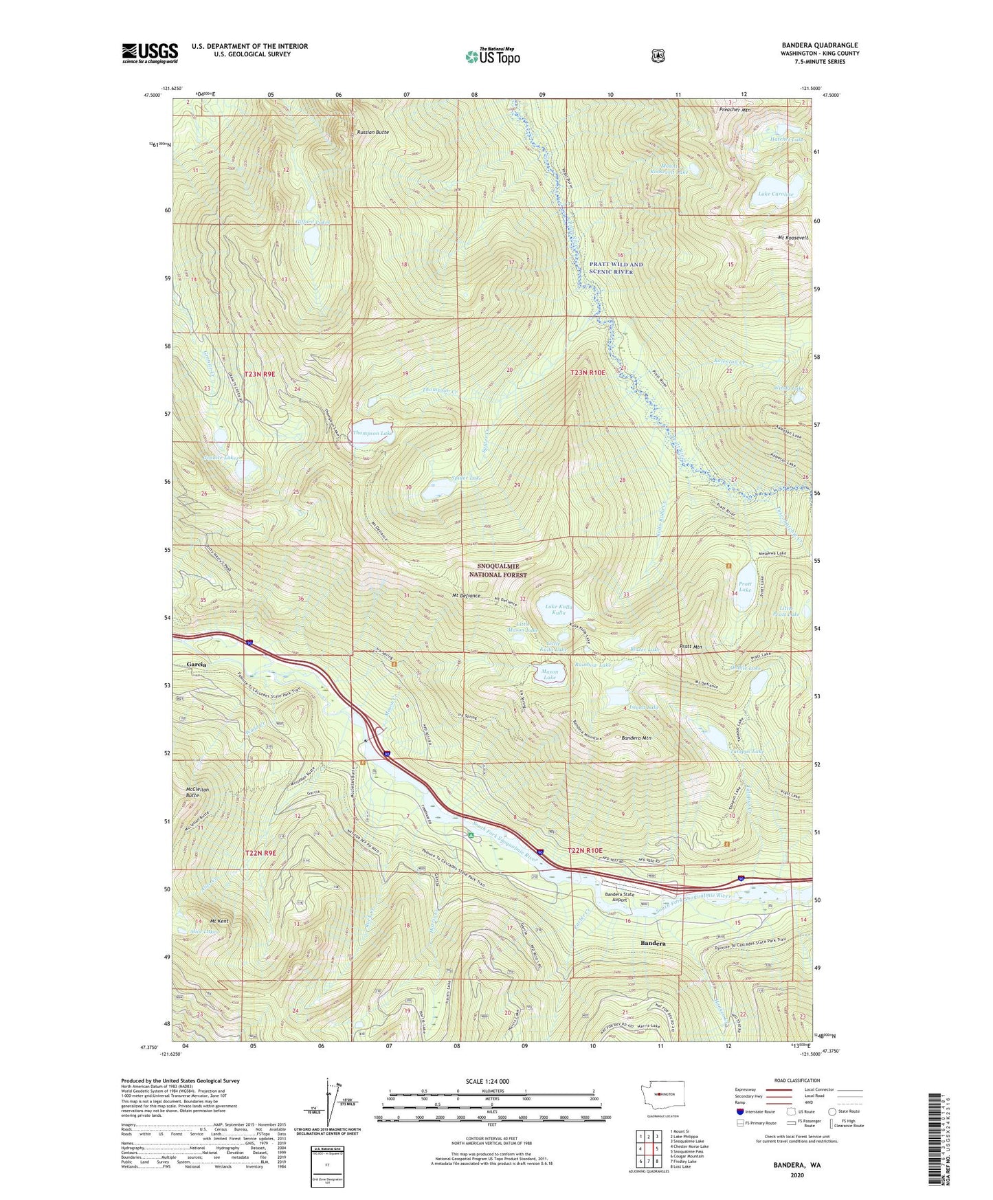
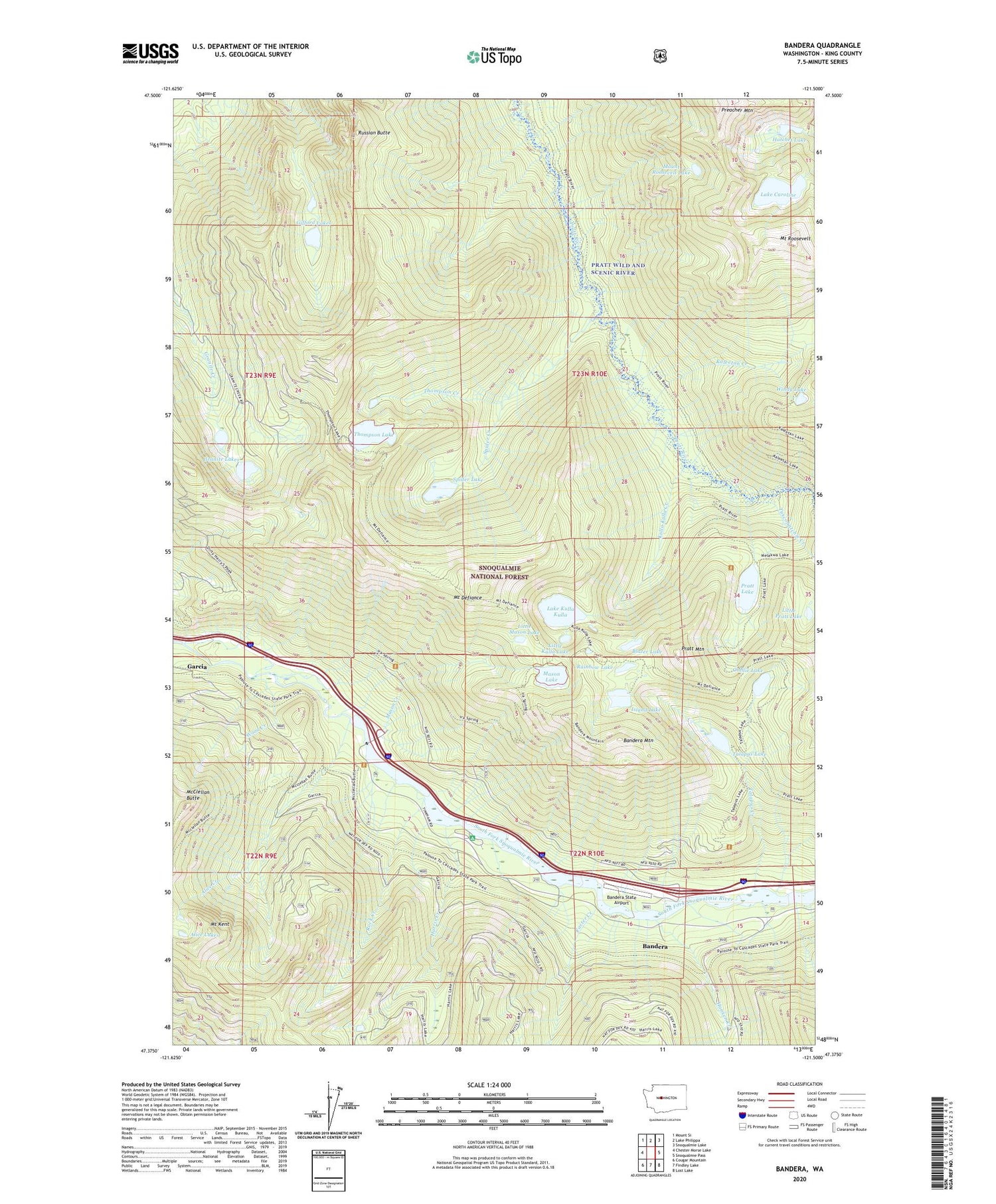
2020 topographic map quadrangle Bandera in the state of Washington. Scale: 1:24000. Based on the newly updated USGS 7.5' US Topo map series, this map is in the following counties: King. The map contains contour data, water features, and other items you are used to seeing on USGS maps, but also has updated roads and other features. This is the next generation of topographic maps. Printed on high-quality waterproof paper with UV fade-resistant inks.
Quads adjacent to this one:
West: Chester Morse Lake
Northwest: Mount Si
North: Lake Philippa
Northeast: Snoqualmie Lake
East: Snoqualmie Pass
Southeast: Lost Lake
South: Findley Lake
Southwest: Cougar Mountain
Contains the following named places: Alice Creek, Alice Lakes, Bandera, Bandera Mountain, Bandera State Airport, Blazer Lake, Camp Joy, Carter Creek, Garcia, Gifford Lakes, Granite Lakes, Hansen Creek, Harris Creek, Hatchet Lake, Ira Spring Trail, Island Lake, Island Lakes, Kaleetan Creek, Kulla Kulla Creek, Lake Caroline, Lake Kulla Kulla, Little Kulla Lake, Little Mason Lake, Little Pratt Lake, Mason Creek, Mason Lake, McClellan Butte, Mount Defiance, Mount Defiance Trail, Mount Kent, Mount Roosevelt Lake, North Bend Ranger District, Olallie Lake, Pratt Lake, Pratt Lake Trail, Pratt Mountain, Pratt Wild and Scenic River, Preacher Mountain, Rainbow Lake, Rock Creek, Russian Butte, Snoqualmie National Forest Division, Spider Creek, Spider Lake, Talapus Creek, Talapus Lake, Thompson Creek, Thompson Lake, Tuscohatchie Creek, Windy Lake, Wood Creek, ZIP Code: 98045