MyTopo
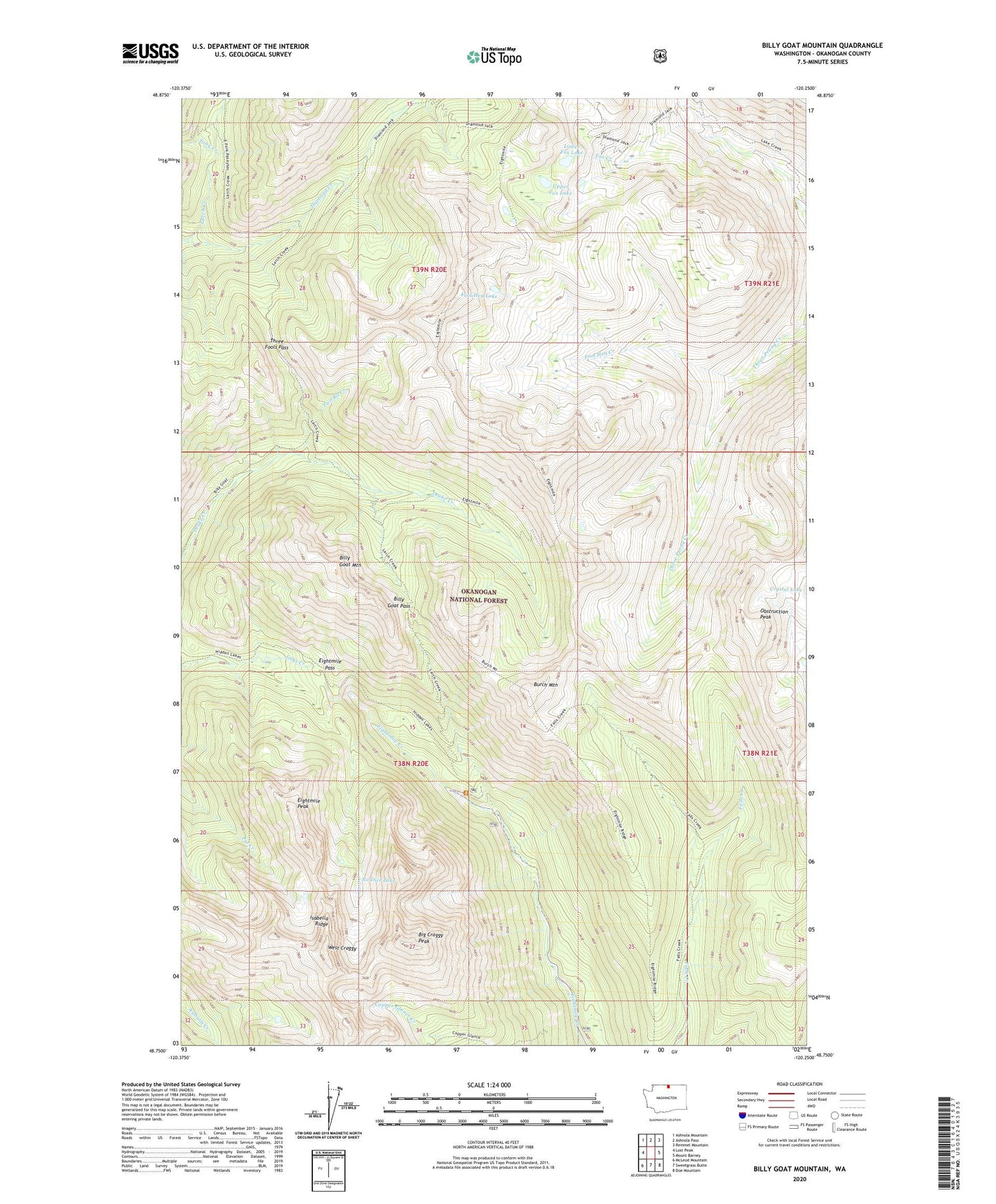
Billy Goat Mountain Washington US Topo Map
Couldn't load pickup availability
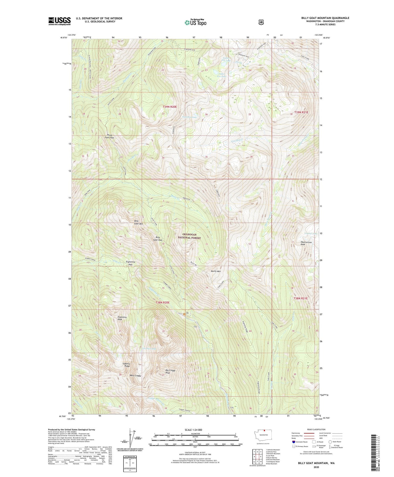
Also explore the Billy Goat Mountain Forest Service Topo of this same quad for updated USFS data
2023 topographic map quadrangle Billy Goat Mountain in the state of Washington. Scale: 1:24000. Based on the newly updated USGS 7.5' US Topo map series, this map is in the following counties: Okanogan. The map contains contour data, water features, and other items you are used to seeing on USGS maps, but also has updated roads and other features. This is the next generation of topographic maps. Printed on high-quality waterproof paper with UV fade-resistant inks.
Quads adjacent to this one:
West: Lost Peak
Northwest: Ashnola Mountain
North: Ashnola Pass
Northeast: Remmel Mountain
East: Mount Barney
Southeast: Doe Mountain
South: Sweetgrass Butte
Southwest: McLeod Mountain
This map covers the same area as the classic USGS quad with code o48120g3.
Contains the following named places: Big Craggy Peak, Billy Goat Corral, Billy Goat Mountain, Billy Goat Pass, Billy Goat Trailhead, Burch Mountain, Carol Creek, Early Winters Division, Eightmile Pass, Eightmile Peak, Fool Hen Creek, Fool Hen Lake, Fox Creek, Fox Lakes, Isabella Ridge, Larch Creek, Lower Fox Lake, Newland Creek, No Dice Lake, Obstruction Peak, Three Fools Pass, Tony Creek, Two Bit Creek, Upper Fox Lake, West Craggy